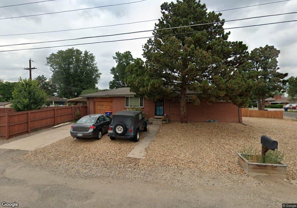
9205 W 45th Ave Wheat Ridge, CO 80033
Kipling NeighborhoodEstimated Value: $454,000 - $551,000
3
Beds
2
Baths
2,280
Sq Ft
$217/Sq Ft
Est. Value
About This Home
This home is located at 9205 W 45th Ave, Wheat Ridge, CO 80033 and is currently estimated at $495,696, approximately $217 per square foot. 9205 W 45th Ave is a home located in Jefferson County with nearby schools including Peak Expeditionary - Pennington, Everitt Middle School, and Wheat Ridge High School.
Ownership History
Date
Name
Owned For
Owner Type
Purchase Details
Closed on
Mar 17, 2009
Sold by
Secretary Of Housing & Urban Development
Bought by
Moore Robert A
Current Estimated Value
Purchase Details
Closed on
Aug 15, 2008
Sold by
Matz James and Matz Kelli L
Bought by
Hud
Purchase Details
Closed on
Feb 27, 2004
Sold by
Wogan Christopher H
Bought by
Matz James and Matz Kelli L
Home Financials for this Owner
Home Financials are based on the most recent Mortgage that was taken out on this home.
Original Mortgage
$221,523
Interest Rate
5.65%
Mortgage Type
FHA
Purchase Details
Closed on
Jan 21, 1998
Sold by
Bernadette Dauenhauer Deonne
Bought by
Emeralds Rough Cut Llc
Create a Home Valuation Report for This Property
The Home Valuation Report is an in-depth analysis detailing your home's value as well as a comparison with similar homes in the area
Home Values in the Area
Average Home Value in this Area
Purchase History
| Date | Buyer | Sale Price | Title Company |
|---|---|---|---|
| Moore Robert A | $168,000 | Wtg | |
| Moore Robert A | $168,000 | Wtg | |
| Hud | -- | None Available | |
| Matz James | $225,000 | Guardian Title Agency Llc | |
| Estate Of Deonne B Wogan | -- | Guardian Title Agency Llc | |
| Emeralds Rough Cut Llc | -- | -- |
Source: Public Records
Mortgage History
| Date | Status | Borrower | Loan Amount |
|---|---|---|---|
| Previous Owner | Matz James | $221,523 |
Source: Public Records
Tax History Compared to Growth
Tax History
| Year | Tax Paid | Tax Assessment Tax Assessment Total Assessment is a certain percentage of the fair market value that is determined by local assessors to be the total taxable value of land and additions on the property. | Land | Improvement |
|---|---|---|---|---|
| 2024 | $2,755 | $29,717 | $14,652 | $15,065 |
| 2023 | $2,755 | $29,717 | $14,652 | $15,065 |
| 2022 | $2,456 | $26,356 | $9,870 | $16,486 |
| 2021 | $2,491 | $27,115 | $10,154 | $16,961 |
| 2020 | $2,418 | $26,370 | $9,306 | $17,064 |
| 2019 | $2,385 | $26,370 | $9,306 | $17,064 |
| 2018 | $2,177 | $23,396 | $5,977 | $17,419 |
| 2017 | $1,982 | $23,396 | $5,977 | $17,419 |
| 2016 | $1,807 | $19,981 | $5,788 | $14,193 |
| 2015 | $1,460 | $19,981 | $5,788 | $14,193 |
| 2014 | $1,460 | $15,184 | $4,900 | $10,284 |
Source: Public Records
Map
Nearby Homes
- 4658 Flower St Unit 4658
- 8976 W 46th Place Unit 8976
- 4737 Flower St Unit 4737
- 4563 Everett St
- 4643 Independence St Unit 9
- 8748 W 46th Ave
- 4201 Garland St
- 4744 Dudley St
- 9380 W 49th Ave Unit 101
- 4752 Dover St
- 4931 Garrison St Unit 204G
- 8945 W 49th Ave
- 4785 Carr St
- 4787 Carr St
- 4077 Everett St
- 4950 Estes Ct
- 8553 W 48th Place
- 5021 Garrison St Unit 103A
- 5041 Garrison St Unit 204C
- 9870 W 41st Ave
- 4515 Garrison St
- 4500 Garland St
- 4535 Garrison St
- 4520 Garland St
- 4520 Garrison St
- 4512 Garrison St
- 4530 Garrison St
- 4510 Garrison St
- 9260 W 45th Ave
- 4530 Garland St
- 4560 Garrison St
- 9181 W 45th Place
- 9280 W 45th Ave
- 4565 Garrison St
- 11722 W 45th Place
- 11645 W 45th Place
- 4550 Garland St
- 4525 Flower St
- 9310 W 45th Ave
- 4535 Flower St