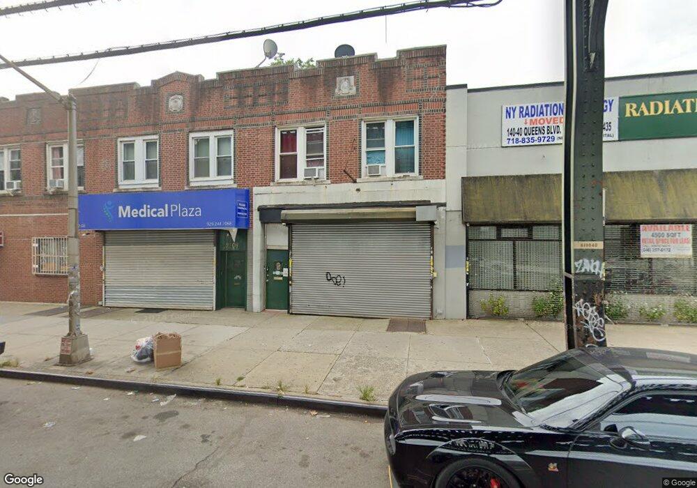
9206 Liberty Ave Ozone Park, NY 11417
Ozone Park NeighborhoodEstimated Value: $1,014,033
--
Bed
1
Bath
2,720
Sq Ft
$373/Sq Ft
Est. Value
About This Home
This home is located at 9206 Liberty Ave, Ozone Park, NY 11417 and is currently estimated at $1,014,033, approximately $372 per square foot. 9206 Liberty Ave is a home located in Queens County with nearby schools including P.S. 63 - Old South, Robert H. Goddard High School, and Our World Neighborhood Charter School 2.
Ownership History
Date
Name
Owned For
Owner Type
Purchase Details
Closed on
Oct 11, 2016
Sold by
Nilkanth Realty Llc
Bought by
Wealth Max Realty Llc
Current Estimated Value
Home Financials for this Owner
Home Financials are based on the most recent Mortgage that was taken out on this home.
Original Mortgage
$285,000
Outstanding Balance
$228,770
Interest Rate
3.5%
Mortgage Type
Commercial
Estimated Equity
$785,263
Purchase Details
Closed on
Aug 8, 2013
Sold by
Queens Regency Llc
Bought by
Nilkanth Realty Llc
Purchase Details
Closed on
Apr 2, 2001
Sold by
Mauceri James V and Mauceri James
Bought by
Queens Regency Llc
Purchase Details
Closed on
Feb 27, 1995
Sold by
No Problem Harry Corp
Bought by
Mauceri James
Home Financials for this Owner
Home Financials are based on the most recent Mortgage that was taken out on this home.
Original Mortgage
$77,185
Interest Rate
9.09%
Mortgage Type
Commercial
Create a Home Valuation Report for This Property
The Home Valuation Report is an in-depth analysis detailing your home's value as well as a comparison with similar homes in the area
Home Values in the Area
Average Home Value in this Area
Purchase History
| Date | Buyer | Sale Price | Title Company |
|---|---|---|---|
| Wealth Max Realty Llc | $675,000 | -- | |
| Nilkanth Realty Llc | $430,000 | -- | |
| Queens Regency Llc | -- | -- | |
| Mauceri James | $75,000 | Commonwealth Land Title Ins |
Source: Public Records
Mortgage History
| Date | Status | Borrower | Loan Amount |
|---|---|---|---|
| Open | Wealth Max Realty Llc | $285,000 | |
| Previous Owner | Mauceri James | $77,185 |
Source: Public Records
Tax History Compared to Growth
Tax History
| Year | Tax Paid | Tax Assessment Tax Assessment Total Assessment is a certain percentage of the fair market value that is determined by local assessors to be the total taxable value of land and additions on the property. | Land | Improvement |
|---|---|---|---|---|
| 2025 | $6,824 | $36,014 | $6,342 | $29,672 |
| 2024 | $6,824 | $33,977 | $6,741 | $27,236 |
| 2023 | $6,438 | $32,054 | $6,199 | $25,855 |
| 2022 | $6,347 | $50,580 | $11,940 | $38,640 |
| 2021 | $6,582 | $44,700 | $11,940 | $32,760 |
| 2020 | $6,353 | $47,280 | $11,940 | $35,340 |
| 2019 | $5,923 | $45,120 | $11,940 | $33,180 |
| 2018 | $5,445 | $26,712 | $8,478 | $18,234 |
| 2017 | $4,077 | $26,496 | $8,967 | $17,529 |
| 2016 | $5,210 | $26,496 | $8,967 | $17,529 |
| 2015 | $3,015 | $25,010 | $10,054 | $14,956 |
| 2014 | $3,015 | $23,595 | $10,551 | $13,044 |
Source: Public Records
Map
Nearby Homes
- 92-17 Liberty Ave
- 92-18 Liberty Ave
- 93-18 103rd Ave
- 10333 Woodhaven Blvd
- 103-48 96th St
- 10159 92nd St
- 103-47 96th St
- 107-20 92nd St
- 101-46 95th St
- 107-50 90th St
- 107-19 96th St
- 105-39 88th St
- 105-47 88 St
- 107-62 93rd St
- 10766 92nd St
- 8915 102nd Rd
- 10751 89th St
- 87-16 Liberty Ave
- 9108 Sutter Ave
- 101-14 95th St
- 928 Liberty Ave
- 9208 Liberty Ave
- 9202 Liberty Ave
- 9210 Liberty Ave
- 10513 92nd St
- 9212 Liberty Ave
- 10515 92nd St
- 92-10 Liberty Ave
- 10515 92nd St
- 9214 Liberty Ave
- 9216 Liberty Ave
- 10517 92nd St
- 92-18 Liberty Ave Unit 1
- 92-18 Liberty Ave Unit 2
- 92-18 Liberty Ave Unit 3
- 9218 Liberty Ave
- 10506 92nd St
- 10519 92nd St
- 10506 92nd St Unit 1fl+B
- 10506 92nd St