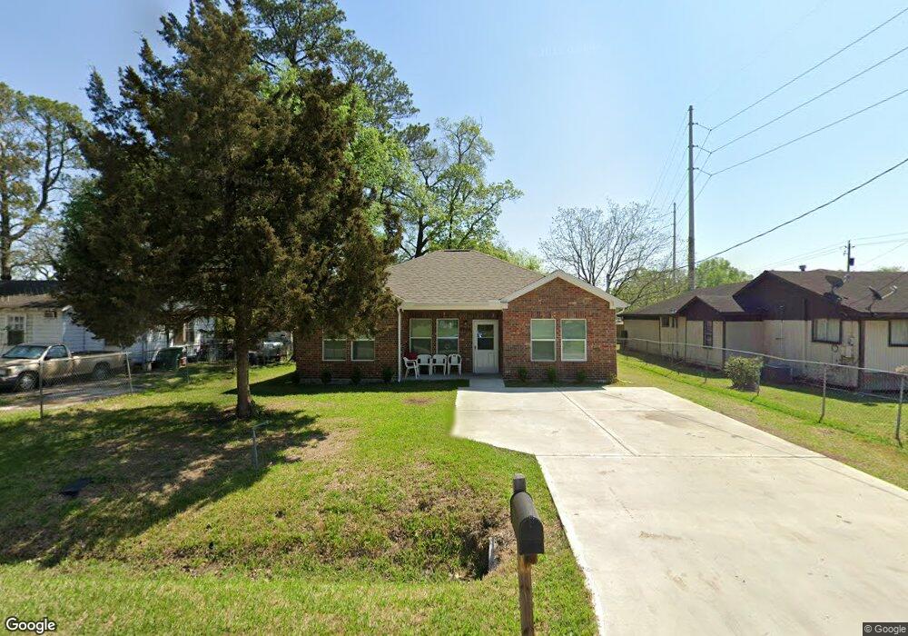
9206 Spaulding St Houston, TX 77016
Trinity-Houston Gardens NeighborhoodEstimated Value: $194,000 - $276,000
3
Beds
2
Baths
1,364
Sq Ft
$178/Sq Ft
Est. Value
About This Home
This home is located at 9206 Spaulding St, Houston, TX 77016 and is currently estimated at $242,561, approximately $177 per square foot. 9206 Spaulding St is a home located in Harris County with nearby schools including Shadydale Elementary School, Forest Brook Middle, and North Forest High School.
Ownership History
Date
Name
Owned For
Owner Type
Purchase Details
Closed on
Oct 22, 2006
Sold by
Smith James
Bought by
Smith Annie B
Current Estimated Value
Home Financials for this Owner
Home Financials are based on the most recent Mortgage that was taken out on this home.
Original Mortgage
$52,800
Outstanding Balance
$31,350
Interest Rate
6.37%
Mortgage Type
Stand Alone First
Estimated Equity
$211,211
Purchase Details
Closed on
Jun 25, 2004
Sold by
Smith Annie Pearl
Bought by
Smith James
Create a Home Valuation Report for This Property
The Home Valuation Report is an in-depth analysis detailing your home's value as well as a comparison with similar homes in the area
Home Values in the Area
Average Home Value in this Area
Purchase History
| Date | Buyer | Sale Price | Title Company |
|---|---|---|---|
| Smith Annie B | -- | Fidelity National Title | |
| Smith James | -- | Ameripoint Title |
Source: Public Records
Mortgage History
| Date | Status | Borrower | Loan Amount |
|---|---|---|---|
| Open | Smith Annie B | $52,800 |
Source: Public Records
Tax History Compared to Growth
Tax History
| Year | Tax Paid | Tax Assessment Tax Assessment Total Assessment is a certain percentage of the fair market value that is determined by local assessors to be the total taxable value of land and additions on the property. | Land | Improvement |
|---|---|---|---|---|
| 2025 | $58 | $237,352 | $51,756 | $185,596 |
| 2024 | $58 | $235,394 | $51,756 | $183,638 |
| 2023 | $58 | $348,047 | $38,817 | $309,230 |
| 2022 | $5,395 | $269,244 | $25,878 | $243,366 |
| 2021 | $5,191 | $222,723 | $17,252 | $205,471 |
| 2020 | $460 | $18,985 | $17,252 | $1,733 |
| 2019 | $728 | $34,041 | $13,802 | $20,239 |
| 2018 | $0 | $27,915 | $13,802 | $14,113 |
| 2017 | $601 | $27,915 | $13,802 | $14,113 |
| 2016 | $546 | $22,071 | $10,783 | $11,288 |
| 2015 | -- | $19,639 | $9,920 | $9,719 |
| 2014 | -- | $19,639 | $9,920 | $9,719 |
Source: Public Records
Map
Nearby Homes
- 9205 & 9207 Spaulding St
- 9227 Homestead Rd
- 8928 Homestead Rd
- 8914 Lanewood Dr
- 9317 Homestead Rd
- 9009 Compton St
- 9316 Sundown Dr
- 6513 Laura Koppe Rd
- 6415 Laura Koppe Rd
- 5009 Tidwell Rd
- 6110 Tidwell Rd
- 6213 Laura Koppe Rd
- 9412 Crofton St
- 8504 Shady Dr
- 6226 E Tidwell Rd
- 7129 Springdale St Unit A/B
- 0 Crofton St
- 6320 Laura Koppe Rd
- 9313 Sherbourne St
- 9412 Firnat St Unit A-B
- 9202 Spaulding St
- 9210 Spaulding St
- 9214 Spaulding St
- 9122 Spaulding St
- 9218 Spaulding St
- 0 Spaulding St Unit 77242044
- 0 Spaulding St Unit 45695097
- 0 Spaulding St Unit 52029068
- 6610 Firnat St
- 9209 Spaulding St
- 9117 Homestead Rd
- 9118 Spaulding St
- 9213 Spaulding St
- 9220 Spaulding St
- 6514 Firnat St
- 9215 Spaulding St
- 9113 Homestead Rd
- 9117 Spaulding St
- 9107 Homestead Rd
- 9221 Spaulding St