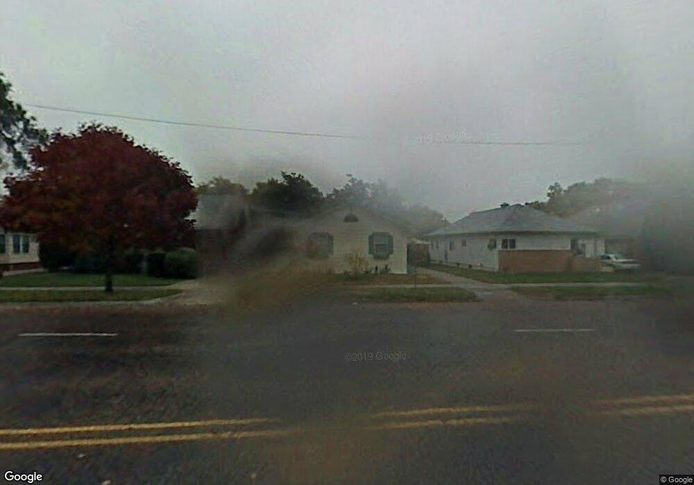
921 Box Butte Ave Alliance, NE 69301
Estimated Value: $133,000 - $163,000
3
Beds
2
Baths
1,232
Sq Ft
$123/Sq Ft
Est. Value
About This Home
This home is located at 921 Box Butte Ave, Alliance, NE 69301 and is currently estimated at $151,552, approximately $123 per square foot. 921 Box Butte Ave is a home located in Box Butte County with nearby schools including Alliance High School, St. Agnes Academy, and Immanuel Evangelical Lutheran School.
Ownership History
Date
Name
Owned For
Owner Type
Purchase Details
Closed on
Mar 20, 2015
Sold by
Nancy Reiber and Nancy Ryan
Bought by
Howard Shelby E and Howard Jennifer M
Current Estimated Value
Purchase Details
Closed on
Sep 9, 2010
Sold by
Federal Home Loan Mortgage Corporation
Bought by
Reiber Nancy
Purchase Details
Closed on
Jun 22, 2010
Sold by
Lindquist Eric H
Bought by
Pollack Noreen A
Create a Home Valuation Report for This Property
The Home Valuation Report is an in-depth analysis detailing your home's value as well as a comparison with similar homes in the area
Home Values in the Area
Average Home Value in this Area
Purchase History
| Date | Buyer | Sale Price | Title Company |
|---|---|---|---|
| Howard Shelby E | $88,900 | -- | |
| Reiber Nancy | -- | -- | |
| Reiber Nancy | -- | First Nebraska Title Company | |
| Pollack Noreen A | $63,661 | -- | |
| Federal Home Loan Mortgage Corp | -- | -- |
Source: Public Records
Tax History Compared to Growth
Tax History
| Year | Tax Paid | Tax Assessment Tax Assessment Total Assessment is a certain percentage of the fair market value that is determined by local assessors to be the total taxable value of land and additions on the property. | Land | Improvement |
|---|---|---|---|---|
| 2024 | $1,526 | $121,865 | $6,300 | $115,565 |
| 2023 | $2,095 | $121,865 | $6,300 | $115,565 |
| 2022 | $1,967 | $108,045 | $5,950 | $102,095 |
| 2021 | $1,992 | $108,045 | $5,950 | $102,095 |
| 2020 | $1,986 | $108,045 | $5,950 | $102,095 |
| 2019 | $1,940 | $108,045 | $5,950 | $102,095 |
| 2018 | $1,930 | $108,045 | $5,950 | $102,095 |
| 2017 | $1,328 | $71,569 | $4,550 | $67,019 |
| 2016 | $1,313 | $71,569 | $4,550 | $67,019 |
| 2015 | $1,015 | $67,775 | $4,550 | $63,225 |
| 2014 | $1,015 | $67,810 | $4,550 | $63,260 |
Source: Public Records
Map
Nearby Homes
- 1019 Laramie Ave
- 904 Laramie Ave
- 924 Big Horn Ave
- 907 Toluca Ave
- 719 Toluca Ave
- 615 Sweetwater Ave
- 911 Emerson Ave
- 1004 Missouri Ave
- 917 Missouri Ave
- 1239 Toluca Ave
- 420 Laramie Ave
- 621 Emerson Ave
- 936 Platte Ave
- 819 Black Hills Ave
- 613 Mississippi Ave
- 316 Big Horn Ave
- 667 E 9th St
- 1120 Potash Ave
- 719 E 8th St
- 1021 Dakota Ave
- 927 Box Butte Ave
- 919 Box Butte Ave
- 931 Box Butte Ave
- 915 Box Butte Ave
- 911 Box Butte Ave
- 935 Box Butte Ave
- 924 Niobrara Ave
- 920 Niobrara Ave
- 920 Niobrara Ave
- 932 Niobrara Ave
- 916 Niobrara Ave
- 907 Box Butte Ave
- 912 Niobrara Ave
- 912 Niobrara Ave
- 117 E 10th St
- 924 Box Butte Ave
- 920 Box Butte Ave
- 928 Box Butte Ave
- 908 Niobrara Ave
- 916 Box Butte Ave