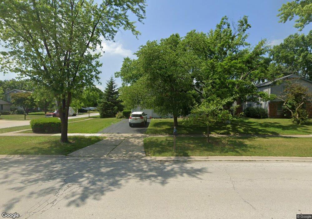
921 Checker Dr Buffalo Grove, IL 60089
Estimated Value: $410,484 - $458,000
--
Bed
2
Baths
1,644
Sq Ft
$265/Sq Ft
Est. Value
About This Home
This home is located at 921 Checker Dr, Buffalo Grove, IL 60089 and is currently estimated at $435,621, approximately $264 per square foot. 921 Checker Dr is a home located in Lake County with nearby schools including Ivy Hall Elementary School, Twin Groves Middle School, and Adlai E Stevenson High School.
Ownership History
Date
Name
Owned For
Owner Type
Purchase Details
Closed on
Aug 24, 2004
Sold by
Sarlitto Michael J and Sarlitto Marilee
Bought by
Sarlitto Marilee and The Marilee Sarlitto Trust
Current Estimated Value
Create a Home Valuation Report for This Property
The Home Valuation Report is an in-depth analysis detailing your home's value as well as a comparison with similar homes in the area
Home Values in the Area
Average Home Value in this Area
Purchase History
| Date | Buyer | Sale Price | Title Company |
|---|---|---|---|
| Sarlitto Marilee | -- | -- |
Source: Public Records
Tax History Compared to Growth
Tax History
| Year | Tax Paid | Tax Assessment Tax Assessment Total Assessment is a certain percentage of the fair market value that is determined by local assessors to be the total taxable value of land and additions on the property. | Land | Improvement |
|---|---|---|---|---|
| 2024 | $10,775 | $111,324 | $30,497 | $80,827 |
| 2023 | $10,391 | $105,042 | $28,776 | $76,266 |
| 2022 | $10,391 | $99,651 | $27,299 | $72,352 |
| 2021 | $10,002 | $98,577 | $27,005 | $71,572 |
| 2020 | $9,765 | $98,913 | $27,097 | $71,816 |
| 2019 | $9,626 | $98,548 | $26,997 | $71,551 |
| 2018 | $7,811 | $82,414 | $26,681 | $55,733 |
| 2017 | $7,668 | $80,490 | $26,058 | $54,432 |
| 2016 | $7,484 | $77,076 | $24,953 | $52,123 |
| 2015 | $7,312 | $72,081 | $23,336 | $48,745 |
| 2014 | $6,869 | $66,754 | $25,062 | $41,692 |
| 2012 | $6,771 | $66,888 | $25,112 | $41,776 |
Source: Public Records
Map
Nearby Homes
- 931 Shady Grove Ln
- 1141 Devonshire Rd
- 950 Belmar Ln
- 800 Clohesey Dr
- 711 Woodhollow Ln
- 610 Checker Dr
- 1265 Devonshire Rd
- 12 Cloverdale Ct
- 1152 Courtland Dr Unit 406
- 1032 Courtland Dr Unit 9
- 1118 Larraway Dr
- 1113 Lockwood Dr
- 890 Knollwood Dr
- 327 Lasalle Ln
- 938 Hidden Lake Dr
- 390 Springside Ln
- 1325 Fairfax Ln
- 887 Saybrook Ln Unit 2
- 437 Caren Dr
- 1324 Fairfax Ln Unit B32
- 931 Checker Dr
- 811 Belmar Ln
- 941 Checker Dr
- 821 Belmar Ln
- 850 Ridgefield Ln
- 930 Checker Dr
- 920 Checker Dr
- 2 Belmar Ct
- 910 Checker Dr
- 951 Checker Dr Unit 10
- 860 Ridgefield Ln
- 880 Checker Dr
- 861 Dunham Ln
- 861 Ridgefield Ln
- 921 Shady Grove Ln
- 871 Dunham Ln
- 870 Ridgefield Ln Unit 10
- 3 Belmar Ct
- 870 Checker Dr
- 881 Silver Rock Ln