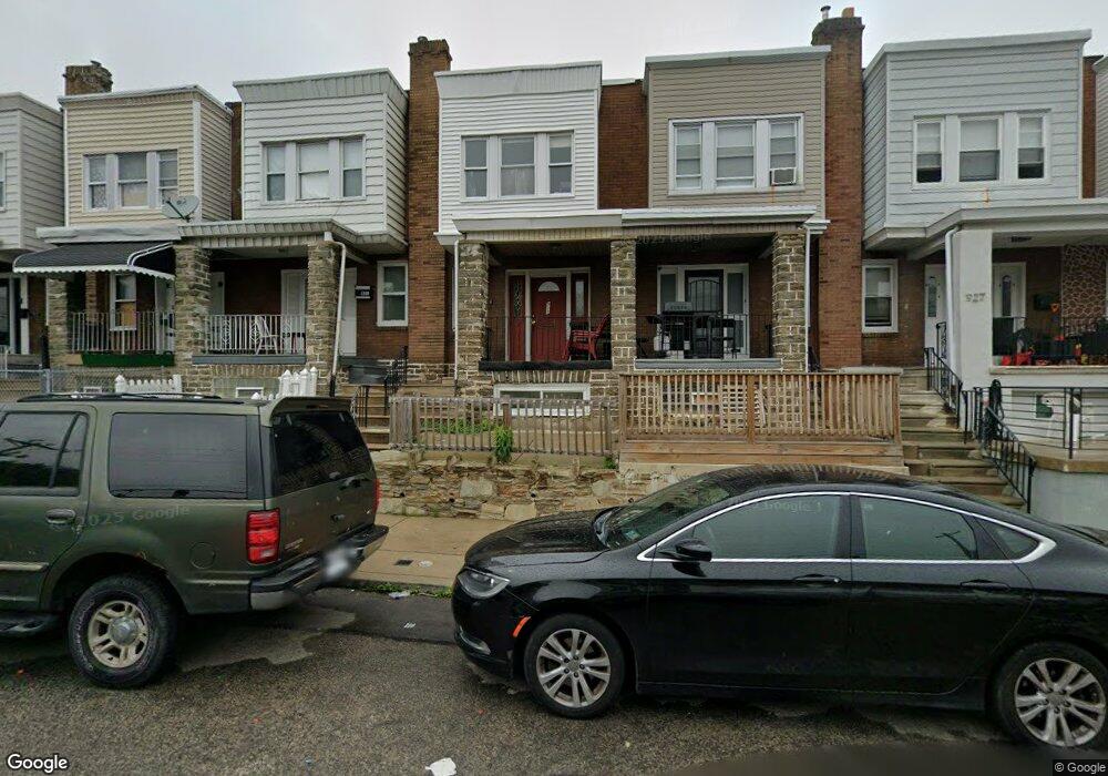
921 E Sanger St Philadelphia, PA 19124
Lawncrest NeighborhoodEstimated Value: $178,000 - $228,000
3
Beds
2
Baths
1,214
Sq Ft
$164/Sq Ft
Est. Value
About This Home
This home is located at 921 E Sanger St, Philadelphia, PA 19124 and is currently estimated at $198,704, approximately $163 per square foot. 921 E Sanger St is a home located in Philadelphia County with nearby schools including Laura H Carnell School, Harding Warren G Middle School, and Samuel Fels High School.
Ownership History
Date
Name
Owned For
Owner Type
Purchase Details
Closed on
Aug 27, 2004
Sold by
Shackelford Stephanie L and Yusuf Opeyemi S
Bought by
Charles Jean Rodrigue
Current Estimated Value
Home Financials for this Owner
Home Financials are based on the most recent Mortgage that was taken out on this home.
Original Mortgage
$72,427
Outstanding Balance
$36,217
Interest Rate
6.02%
Mortgage Type
FHA
Estimated Equity
$162,487
Purchase Details
Closed on
Jan 25, 2001
Sold by
Fay Michael J and Pollock Frances A
Bought by
Shackelford Stephanie L
Home Financials for this Owner
Home Financials are based on the most recent Mortgage that was taken out on this home.
Original Mortgage
$36,100
Interest Rate
7.03%
Create a Home Valuation Report for This Property
The Home Valuation Report is an in-depth analysis detailing your home's value as well as a comparison with similar homes in the area
Home Values in the Area
Average Home Value in this Area
Purchase History
| Date | Buyer | Sale Price | Title Company |
|---|---|---|---|
| Charles Jean Rodrigue | $73,000 | -- | |
| Shackelford Stephanie L | $38,000 | -- |
Source: Public Records
Mortgage History
| Date | Status | Borrower | Loan Amount |
|---|---|---|---|
| Open | Charles Jean Rodrigue | $72,427 | |
| Previous Owner | Shackelford Stephanie L | $36,100 |
Source: Public Records
Tax History Compared to Growth
Tax History
| Year | Tax Paid | Tax Assessment Tax Assessment Total Assessment is a certain percentage of the fair market value that is determined by local assessors to be the total taxable value of land and additions on the property. | Land | Improvement |
|---|---|---|---|---|
| 2025 | $1,712 | $158,200 | $31,640 | $126,560 |
| 2024 | $1,712 | $158,200 | $31,640 | $126,560 |
| 2023 | $1,712 | $122,300 | $24,460 | $97,840 |
| 2022 | $1,082 | $77,300 | $24,460 | $52,840 |
| 2021 | $1,190 | $0 | $0 | $0 |
| 2020 | $1,190 | $0 | $0 | $0 |
| 2019 | $1,142 | $0 | $0 | $0 |
| 2018 | $1,130 | $0 | $0 | $0 |
| 2017 | $1,130 | $0 | $0 | $0 |
| 2016 | $710 | $0 | $0 | $0 |
| 2015 | $7,885 | $0 | $0 | $0 |
| 2014 | -- | $80,700 | $12,033 | $68,667 |
| 2012 | -- | $11,968 | $1,782 | $10,186 |
Source: Public Records
Map
Nearby Homes
- 925 E Sanger St
- 929 1/2 Anchor St
- 894 E Sanger St
- 995 Sanger St
- 991 Carver St
- 883 Brill St
- 1127 E Cheltenham Ave
- 889 Anchor St
- 996 Anchor St
- 1211 E Cheltenham Ave
- 1225 E Cheltenham Ave
- 5640 Miriam Rd
- 854 E Sanger St
- 972 Bridge St
- 939 Granite St
- 5563 Loretto Ave
- 1136 Alcott St
- 901 Granite St
- 5659 Miriam Rd
- 5661 Miriam Rd