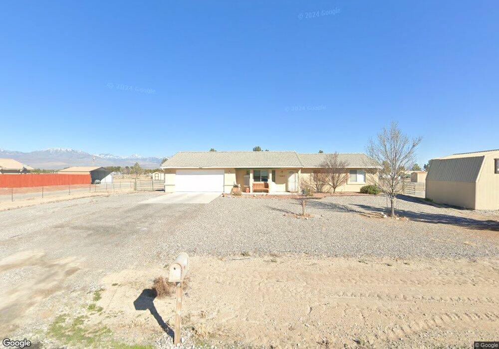
921 Ford Loop Rd Pahrump, NV 89048
Estimated Value: $250,000 - $346,867
Studio
--
Bath
1,295
Sq Ft
$233/Sq Ft
Est. Value
About This Home
This home is located at 921 Ford Loop Rd, Pahrump, NV 89048 and is currently estimated at $301,467, approximately $232 per square foot. 921 Ford Loop Rd is a home located in Nye County with nearby schools including J.G. Johnson Elementary School, Rosemary Clarke Middle School, and Pahrump Valley High School.
Ownership History
Date
Name
Owned For
Owner Type
Purchase Details
Closed on
Feb 28, 2013
Sold by
Cousatte Sidney S
Bought by
The Rig Driver Blue Nevada Trust
Current Estimated Value
Purchase Details
Closed on
Dec 24, 2009
Sold by
Baird Orval
Bought by
Hardin Debra Lynn
Purchase Details
Closed on
Oct 22, 2009
Sold by
Fannie Mae
Bought by
Baird Orval
Purchase Details
Closed on
Aug 26, 2009
Sold by
Bentham Craig R and Bentham Marissa R
Bought by
Federal National Mortgage Association
Create a Home Valuation Report for This Property
The Home Valuation Report is an in-depth analysis detailing your home's value as well as a comparison with similar homes in the area
Purchase History
| Date | Buyer | Sale Price | Title Company |
|---|---|---|---|
| The Rig Driver Blue Nevada Trust | -- | None Available | |
| Cousatte Sidney S | $66,063 | None Available | |
| Hardin Debra Lynn | $135,000 | None Available | |
| Baird Orval | $91,000 | Cow County Title Co | |
| Federal National Mortgage Association | $188,493 | Lsi Title Agency Inc |
Source: Public Records
Tax History
| Year | Tax Paid | Tax Assessment Tax Assessment Total Assessment is a certain percentage of the fair market value that is determined by local assessors to be the total taxable value of land and additions on the property. | Land | Improvement |
|---|---|---|---|---|
| 2025 | $1,400 | $70,127 | $4,135 | $65,992 |
| 2024 | $1,400 | $66,656 | $4,135 | $62,521 |
| 2023 | $1,400 | $61,582 | $4,135 | $57,447 |
| 2022 | $1,318 | $55,881 | $4,135 | $51,746 |
| 2021 | $1,283 | $53,256 | $3,308 | $49,948 |
| 2020 | $1,247 | $53,045 | $3,308 | $49,737 |
| 2019 | $1,049 | $53,160 | $3,308 | $49,852 |
| 2018 | $1,019 | $50,847 | $2,646 | $48,201 |
| 2017 | $991 | $41,026 | $2,646 | $38,380 |
| 2016 | $967 | $31,445 | $2,646 | $28,799 |
| 2015 | $965 | $23,626 | $2,646 | $20,980 |
| 2014 | $850 | $25,427 | $2,646 | $22,781 |
Source: Public Records
Map
Nearby Homes
- 1770 W Charleston Park Ave
- 1660 W Charleston Park Ave
- 861 S Ford Loop E
- 1751 Vondell Dr
- 1801 W Irons St
- 881 Luella Ct
- 1170 S Givens Rd
- 1921 W Wilson Rd
- 1590 W Nevada Highway 372
- 821 S Happy Ln
- 1650 W Nevada Highway 372
- 1920 W Wilson Rd
- 1531 W Nevada Highway 372
- 1081 Vondell Dr
- 1860 W Irons St
- 1240 W Irons St
- 1640 W Donner St
- 1711 W Horn Rd
- 700 Cynthia St
- 670 Cynthia St
- 921 Ford Loop Rd
- 891 Ford Loop Rd
- 910 W Ford Loop Rd
- 861 Ford Loop Rd
- 1790 W Charleston Park Ave
- 1790 Charleston Park Ave
- 1770 Charleston Park Ave
- 831 Ford Loop Rd
- 850 W Ford Loop Rd
- 680 Ford Loop Rd
- 561 Ford Loop Rd
- 770 Ford Loop Rd
- 850 Ford Loop Rd
- 910 Ford Loop Rd
- 801 Ford Loop Rd
- 801 Ford Loop Rd
- 921 S Ford Loop E
- 750 Ford Loop Rd
- 1891 Anns Rd
- 891 S Ford Loop E
Your Personal Tour Guide
Ask me questions while you tour the home.