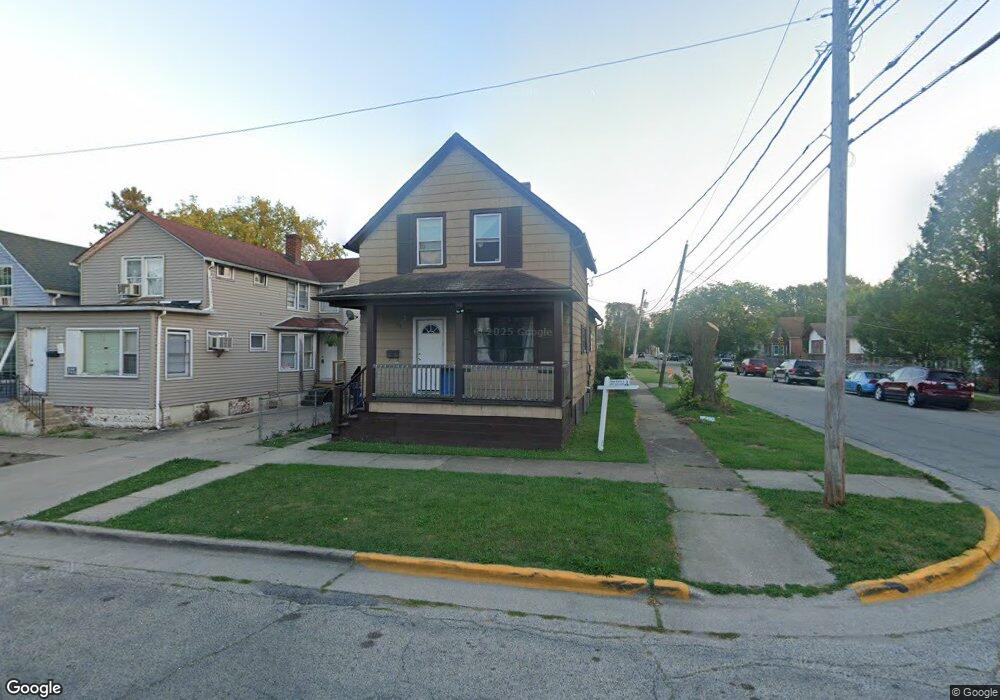
921 Forest Ave Waukegan, IL 60085
Downtown Waukegan NeighborhoodEstimated Value: $179,000 - $192,000
3
Beds
1
Bath
1,200
Sq Ft
$153/Sq Ft
Est. Value
About This Home
This home is located at 921 Forest Ave, Waukegan, IL 60085 and is currently estimated at $184,004, approximately $153 per square foot. 921 Forest Ave is a home located in Lake County with nearby schools including Robert E. Abbott Middle School, Waukegan High School, and Lions Mathematics & Science Christian Academy.
Ownership History
Date
Name
Owned For
Owner Type
Purchase Details
Closed on
Feb 25, 2018
Sold by
John E Potte And Ann C Potter Revocable
Bought by
Castelum Jesus R and Ordonez Lorena
Current Estimated Value
Purchase Details
Closed on
Nov 15, 2012
Sold by
Potter John E
Bought by
John E Potter And Ann C Potter Revocable
Purchase Details
Closed on
Jan 20, 2004
Sold by
Bank Of Waukegan
Bought by
Potter John E
Create a Home Valuation Report for This Property
The Home Valuation Report is an in-depth analysis detailing your home's value as well as a comparison with similar homes in the area
Home Values in the Area
Average Home Value in this Area
Purchase History
| Date | Buyer | Sale Price | Title Company |
|---|---|---|---|
| Castelum Jesus R | $20,000 | None Available | |
| John E Potter And Ann C Potter Revocable | -- | None Available | |
| Potter John E | -- | -- |
Source: Public Records
Tax History Compared to Growth
Tax History
| Year | Tax Paid | Tax Assessment Tax Assessment Total Assessment is a certain percentage of the fair market value that is determined by local assessors to be the total taxable value of land and additions on the property. | Land | Improvement |
|---|---|---|---|---|
| 2024 | $3,386 | $41,935 | $4,483 | $37,452 |
| 2023 | $2,816 | $35,912 | $3,839 | $32,073 |
| 2022 | $2,816 | $28,800 | $3,120 | $25,680 |
| 2021 | $2,373 | $22,763 | $2,606 | $20,157 |
| 2020 | $2,404 | $21,207 | $2,428 | $18,779 |
| 2019 | $2,419 | $19,433 | $2,225 | $17,208 |
| 2018 | $2,952 | $22,835 | $2,753 | $20,082 |
| 2017 | $2,874 | $20,203 | $2,436 | $17,767 |
| 2016 | $2,713 | $17,556 | $2,117 | $15,439 |
| 2015 | $2,654 | $15,713 | $1,895 | $13,818 |
| 2014 | $2,924 | $17,283 | $1,854 | $15,429 |
| 2012 | $3,624 | $18,725 | $2,009 | $16,716 |
Source: Public Records
Map
Nearby Homes
- 446 S Jackson St
- 408 Besley Place
- 305 Besley Place
- 613 Clarke Ave
- 215 S Park Ave
- 600 Sunderlin St
- 502 Belvidere Rd
- 557 W Water St
- 613 Washington St
- 1521 Catalpa Ave
- 1416 Hamilton Ct
- 547 S Martin Luther King Junior Ave
- 629 S Fulton Ave
- 515 May St
- 631 8th St
- 815 Prescott St
- 306 Oak Crest St
- 132 Dorchester Ct
- 710 S Martin Luther King Junior Ave
- 842 Wadsworth Ave
- 917 Forest Ave
- 915 Forest Ave
- 409 S Victory St
- 913 Forest Ave
- 413 S Victory St
- 404 S Victory St
- 338 S Victory St
- 408 S Victory St
- 417 S Victory St
- 922 Forest Ave
- 336 S Victory St
- 918 Forest Ave
- 402 S Lincoln Ave
- 419 S Victory St
- 406 S Lincoln Ave
- 916 Forest Ave
- 420 S Victory St
- 410 S Lincoln Ave
- 334 S Victory St
- 910 Forest Ave