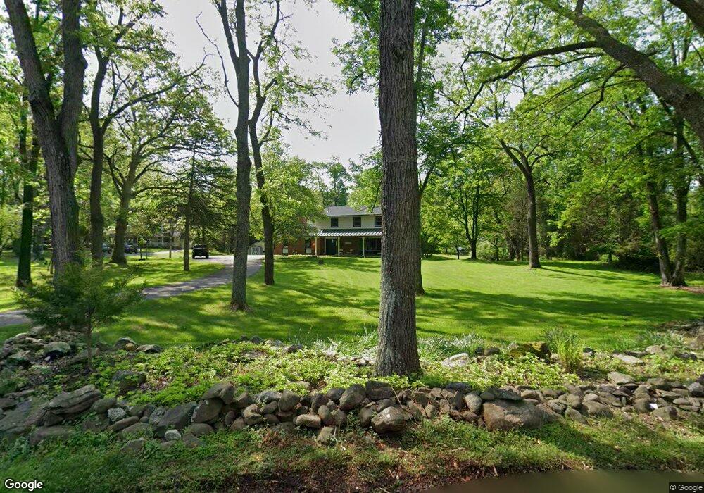
921 Homestead Dr Newton, NJ 07860
Estimated Value: $473,000 - $640,000
--
Bed
--
Bath
2,739
Sq Ft
$206/Sq Ft
Est. Value
About This Home
This home is located at 921 Homestead Dr, Newton, NJ 07860 and is currently estimated at $564,093, approximately $205 per square foot. 921 Homestead Dr is a home located in Sussex County with nearby schools including Stillwater Township School and Kittatinny Regional High School.
Ownership History
Date
Name
Owned For
Owner Type
Purchase Details
Closed on
Aug 23, 2000
Sold by
Morgan Michael and Morgan Susan H
Bought by
Gooding Keith T
Current Estimated Value
Home Financials for this Owner
Home Financials are based on the most recent Mortgage that was taken out on this home.
Original Mortgage
$134,500
Outstanding Balance
$48,217
Interest Rate
8.06%
Estimated Equity
$515,876
Purchase Details
Closed on
Dec 29, 1994
Sold by
Morgan Thomas J and Morgan Ruth T
Bought by
Morgan Michael and Morgan Susan H
Create a Home Valuation Report for This Property
The Home Valuation Report is an in-depth analysis detailing your home's value as well as a comparison with similar homes in the area
Home Values in the Area
Average Home Value in this Area
Purchase History
| Date | Buyer | Sale Price | Title Company |
|---|---|---|---|
| Gooding Keith T | $224,500 | -- | |
| Morgan Michael | $190,000 | -- |
Source: Public Records
Mortgage History
| Date | Status | Borrower | Loan Amount |
|---|---|---|---|
| Open | Gooding Keith T | $134,500 |
Source: Public Records
Tax History Compared to Growth
Tax History
| Year | Tax Paid | Tax Assessment Tax Assessment Total Assessment is a certain percentage of the fair market value that is determined by local assessors to be the total taxable value of land and additions on the property. | Land | Improvement |
|---|---|---|---|---|
| 2025 | $11,838 | $326,300 | $106,100 | $220,200 |
| 2024 | $11,460 | $326,300 | $106,100 | $220,200 |
| 2023 | $11,460 | $326,300 | $106,100 | $220,200 |
| 2022 | $11,107 | $326,300 | $106,100 | $220,200 |
| 2021 | $10,863 | $326,300 | $106,100 | $220,200 |
| 2020 | $10,471 | $326,300 | $106,100 | $220,200 |
| 2019 | $10,050 | $326,300 | $106,100 | $220,200 |
| 2018 | $10,076 | $326,300 | $106,100 | $220,200 |
| 2017 | $9,916 | $326,300 | $106,100 | $220,200 |
| 2016 | $9,639 | $326,300 | $106,100 | $220,200 |
| 2015 | $9,881 | $326,300 | $106,100 | $220,200 |
| 2014 | $9,816 | $326,300 | $106,100 | $220,200 |
Source: Public Records
Map
Nearby Homes
- 920 Deer Run Rd
- 44 Kohlbocker Rd
- 905 Gapview Ct
- 3 Roy Rd
- 903 Cedar Dr
- 20 Stillwater Rd
- 903 Stony Rd
- 51 Paulinskill Lake Rd
- 931 Cedar Dr
- 963 Edgewood Dr
- 965 Cedar Dr
- 907 Meadowbrook Rd
- 1024 County Road 619
- 936 Dove Island Rd
- 63 Van Horn Rd
- 929 Wall St
- 927 Wall St
- 932 Saddleback Rd
- 35 Puder Rd
- 992 Stillwater Rd
- 919 Homestead Dr
- 924 Homestead Dr
- 901 Terrace B
- 926 Homestead Dr
- 902 Terrace B
- 923 Homestead Dr
- 917 Homestead Dr
- 928 Homestead Dr
- 920 Homestead Dr
- 941 W Walnut Dr
- 918 Homestead Dr
- 936 W Walnut Dr
- 934 W Walnut Dr
- 938 W Walnut Dr
- 932 W Walnut Dr
- 940 W Walnut Dr
- 934 Homestead Dr
- 930 W Walnut Dr
- 933 W Walnut Dr
- 942 W Walnut Dr