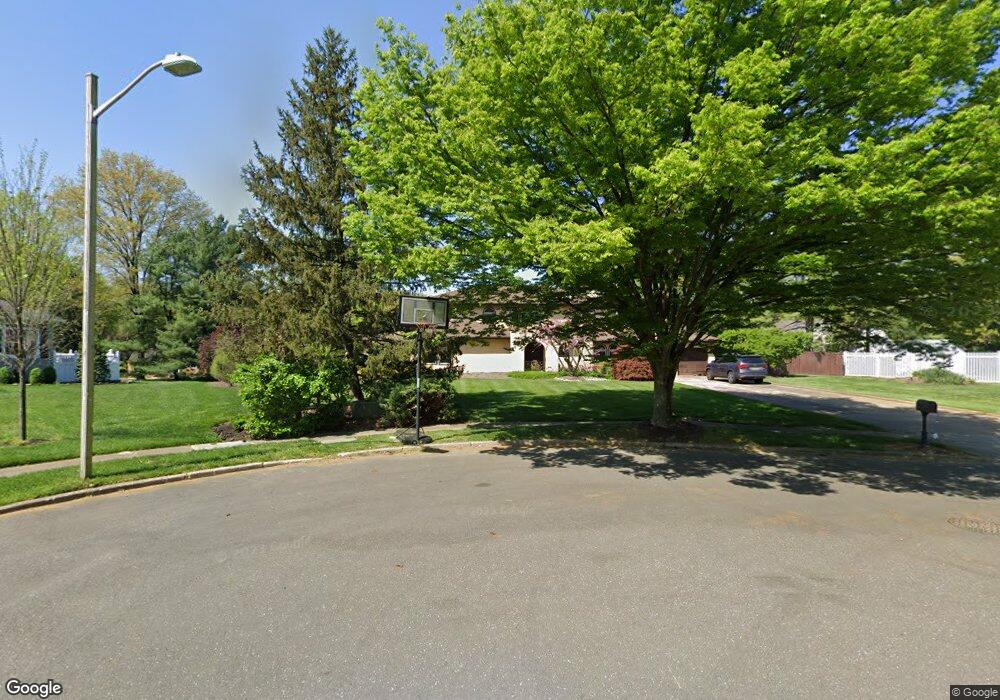
921 Knoll Ct Moorestown, NJ 08057
Estimated Value: $965,729 - $1,045,000
5
Beds
4
Baths
3,501
Sq Ft
$286/Sq Ft
Est. Value
About This Home
This home is located at 921 Knoll Ct, Moorestown, NJ 08057 and is currently estimated at $1,001,682, approximately $286 per square foot. 921 Knoll Ct is a home located in Burlington County with nearby schools including George C. Baker Elementary School, Moorestown Upper Elementary School, and William Allen Middle School.
Ownership History
Date
Name
Owned For
Owner Type
Purchase Details
Closed on
Jul 15, 2008
Sold by
Ariaratnam Lemuel S
Bought by
Rockell Robert J and Rockell Deborah M
Current Estimated Value
Purchase Details
Closed on
Jul 1, 2007
Sold by
Sanghera Kanwal
Bought by
Ariaratnam Lemuel S and Sanghera Kanwal
Purchase Details
Closed on
Jul 24, 1997
Sold by
Ariaratnam Lemuel S and Sanghera Kanwal
Bought by
Sanghera Kanwal
Create a Home Valuation Report for This Property
The Home Valuation Report is an in-depth analysis detailing your home's value as well as a comparison with similar homes in the area
Home Values in the Area
Average Home Value in this Area
Purchase History
| Date | Buyer | Sale Price | Title Company |
|---|---|---|---|
| Rockell Robert J | $562,000 | Infinity Title Agency Inc | |
| Ariaratnam Lemuel S | -- | None Available | |
| Sanghera Kanwal | -- | -- |
Source: Public Records
Tax History Compared to Growth
Tax History
| Year | Tax Paid | Tax Assessment Tax Assessment Total Assessment is a certain percentage of the fair market value that is determined by local assessors to be the total taxable value of land and additions on the property. | Land | Improvement |
|---|---|---|---|---|
| 2025 | $15,927 | $561,400 | $209,600 | $351,800 |
| 2024 | $15,444 | $561,400 | $209,600 | $351,800 |
| 2023 | $15,444 | $561,400 | $209,600 | $351,800 |
| 2022 | $15,287 | $561,400 | $209,600 | $351,800 |
| 2021 | $15,085 | $561,400 | $209,600 | $351,800 |
| 2020 | $14,989 | $561,400 | $209,600 | $351,800 |
| 2019 | $14,726 | $561,400 | $209,600 | $351,800 |
| 2018 | $14,327 | $561,400 | $209,600 | $351,800 |
| 2017 | $14,450 | $561,400 | $209,600 | $351,800 |
| 2016 | $14,400 | $561,400 | $209,600 | $351,800 |
| 2015 | $14,226 | $561,400 | $209,600 | $351,800 |
| 2014 | $13,507 | $561,400 | $209,600 | $351,800 |
Source: Public Records
Map
Nearby Homes
- 25 Oriole Way
- 2801 Riverton Rd
- 2807 Hunterdon Dr
- 2611 Barton Ct
- 343 Tom Brown Rd
- 543 Bethel Ave
- 2716 Branch Pike
- 347 Tom Brown Rd
- 316 Farmdale Rd
- 308 Farmdale Rd
- 310 Devon Rd
- 62 Sussex Dr
- 423 Park Blvd
- 863 Golf View Rd
- 205 Crider Ave Unit 205
- 142 Fox Chase Dr
- 502 Pomona Rd
- 116 Wayne Dr
- 164 Fox Chase Dr
- 2408 New Albany Rd
- 913 Heritage Rd
- 917 Knoll Ct
- 933 Fernwood Rd
- 909 Heritage Rd
- 937 Fernwood Rd
- 929 Fernwood Rd
- 913 Knoll Ct
- 905 Knoll Ct
- 840 Matlack Dr
- 836 Matlack Dr
- 916 Heritage Rd
- 832 Matlack Dr
- 912 Heritage Rd
- 944 Fernwood Rd
- 903 Rolling Rd
- 908 Heritage Rd
- 901 Rolling Rd
- 925 Fernwood Rd
- 904 Heritage Rd
- 940 Fernwood Rd