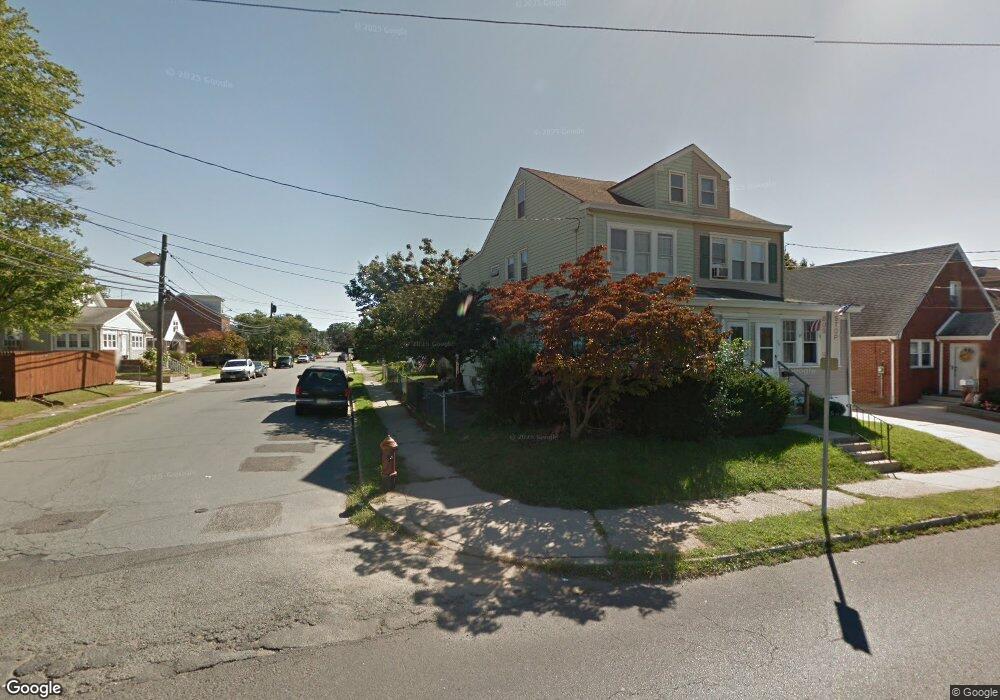
921 Lalor St Trenton, NJ 08610
Franklin Park NeighborhoodEstimated Value: $202,510 - $300,000
--
Bed
--
Bath
990
Sq Ft
$244/Sq Ft
Est. Value
About This Home
This home is located at 921 Lalor St, Trenton, NJ 08610 and is currently estimated at $241,878, approximately $244 per square foot. 921 Lalor St is a home located in Mercer County with nearby schools including Lalor Elementary School, Richard C. Crockett Middle School, and Hamilton West-Watson High School.
Ownership History
Date
Name
Owned For
Owner Type
Purchase Details
Closed on
Oct 18, 2007
Sold by
Demarcello Kelly A
Bought by
Demarcello Frank A and Demarcello Kelly A
Current Estimated Value
Purchase Details
Closed on
Jul 29, 1994
Sold by
Wiener Nikolaus
Bought by
Demarcello Kelly A
Home Financials for this Owner
Home Financials are based on the most recent Mortgage that was taken out on this home.
Original Mortgage
$75,000
Interest Rate
8.52%
Mortgage Type
Purchase Money Mortgage
Create a Home Valuation Report for This Property
The Home Valuation Report is an in-depth analysis detailing your home's value as well as a comparison with similar homes in the area
Home Values in the Area
Average Home Value in this Area
Purchase History
| Date | Buyer | Sale Price | Title Company |
|---|---|---|---|
| Demarcello Frank A | -- | -- | |
| Demarcello Kelly A | $82,900 | -- |
Source: Public Records
Mortgage History
| Date | Status | Borrower | Loan Amount |
|---|---|---|---|
| Previous Owner | Demarcello Kelly A | $75,000 |
Source: Public Records
Tax History Compared to Growth
Tax History
| Year | Tax Paid | Tax Assessment Tax Assessment Total Assessment is a certain percentage of the fair market value that is determined by local assessors to be the total taxable value of land and additions on the property. | Land | Improvement |
|---|---|---|---|---|
| 2025 | $3,080 | $87,400 | $22,300 | $65,100 |
| 2024 | $2,887 | $87,400 | $22,300 | $65,100 |
| 2023 | $2,887 | $87,400 | $22,300 | $65,100 |
| 2022 | $2,841 | $87,400 | $22,300 | $65,100 |
| 2021 | $3,516 | $87,400 | $22,300 | $65,100 |
| 2020 | $3,201 | $87,400 | $22,300 | $65,100 |
| 2019 | $3,107 | $87,400 | $22,300 | $65,100 |
| 2018 | $3,066 | $87,400 | $22,300 | $65,100 |
| 2017 | $2,930 | $87,400 | $22,300 | $65,100 |
| 2016 | $2,363 | $87,400 | $22,300 | $65,100 |
| 2015 | $3,287 | $63,100 | $16,100 | $47,000 |
| 2014 | $3,244 | $63,100 | $16,100 | $47,000 |
Source: Public Records
Map
Nearby Homes
- 69 Reed Ave
- 40 Reed Ave
- 74 Andrew St
- 1023 Adeline St
- 113 Elizabeth Ave
- 80 Barricklo St
- 1325 S Broad St
- 1323 S Broad St
- 157 Andrew St
- 987 Smith St
- 627 Grand St
- 27 Annabelle Ave
- 156 Fitzrandolph Ave
- 44 Jeremiah Ave
- 508 Dayton St
- 921 Genesee St
- 1521 S Clinton Ave
- 1447 S Clinton Ave
- 515 Grand St
- 401 Liberty St