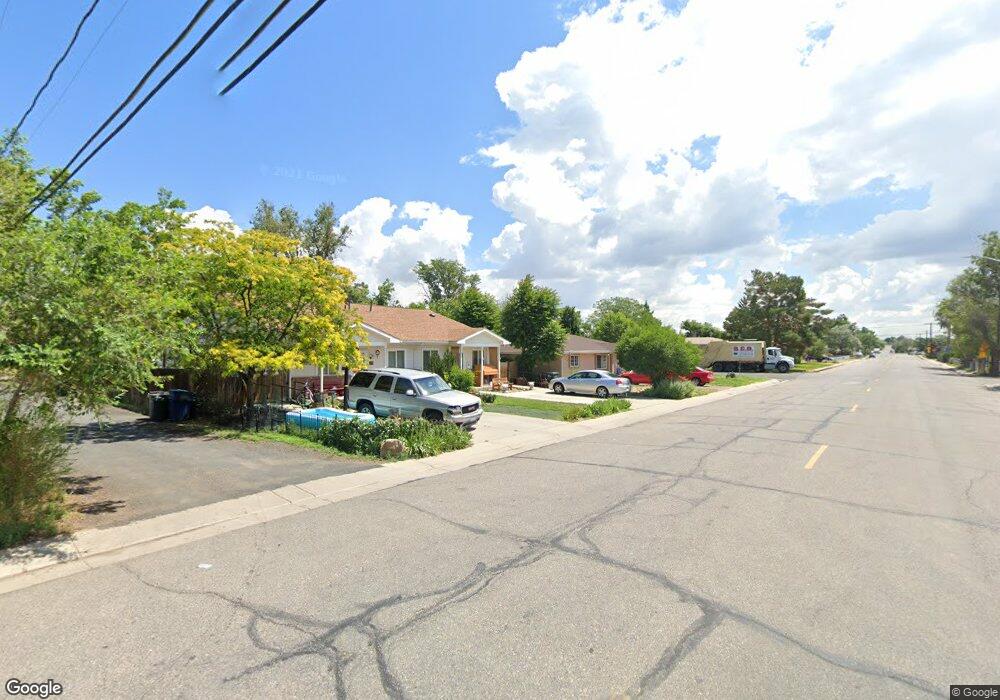
921 Longs Peak St Unit 921 Brighton, CO 80601
Estimated Value: $328,926 - $343,000
3
Beds
1
Bath
1,104
Sq Ft
$307/Sq Ft
Est. Value
About This Home
This home is located at 921 Longs Peak St Unit 921, Brighton, CO 80601 and is currently estimated at $338,732, approximately $306 per square foot. 921 Longs Peak St Unit 921 is a home located in Adams County with nearby schools including Northeast Elementary School, Overland Trail Middle School, and Brighton High School.
Ownership History
Date
Name
Owned For
Owner Type
Purchase Details
Closed on
Oct 28, 2005
Sold by
Habitat For Humanity Of Metro Denver Inc
Bought by
Vigil Adelaida Denise
Current Estimated Value
Home Financials for this Owner
Home Financials are based on the most recent Mortgage that was taken out on this home.
Original Mortgage
$96,000
Outstanding Balance
$51,664
Interest Rate
5.75%
Mortgage Type
Unknown
Estimated Equity
$287,068
Create a Home Valuation Report for This Property
The Home Valuation Report is an in-depth analysis detailing your home's value as well as a comparison with similar homes in the area
Home Values in the Area
Average Home Value in this Area
Purchase History
| Date | Buyer | Sale Price | Title Company |
|---|---|---|---|
| Vigil Adelaida Denise | $96,000 | Security Title |
Source: Public Records
Mortgage History
| Date | Status | Borrower | Loan Amount |
|---|---|---|---|
| Open | Vigil Adelaida Denise | $96,000 |
Source: Public Records
Tax History Compared to Growth
Tax History
| Year | Tax Paid | Tax Assessment Tax Assessment Total Assessment is a certain percentage of the fair market value that is determined by local assessors to be the total taxable value of land and additions on the property. | Land | Improvement |
|---|---|---|---|---|
| 2024 | $2,162 | $21,560 | $5,310 | $16,250 |
| 2023 | $2,152 | $23,270 | $5,410 | $17,860 |
| 2022 | $1,694 | $15,420 | $4,930 | $10,490 |
| 2021 | $1,589 | $15,420 | $4,930 | $10,490 |
| 2020 | $1,263 | $12,790 | $4,860 | $7,930 |
| 2019 | $1,264 | $12,790 | $4,860 | $7,930 |
| 2018 | $1,235 | $12,490 | $4,750 | $7,740 |
| 2017 | $1,234 | $12,490 | $4,750 | $7,740 |
| 2016 | $866 | $8,740 | $2,390 | $6,350 |
| 2015 | $864 | $8,740 | $2,390 | $6,350 |
| 2014 | $753 | $7,720 | $1,910 | $5,810 |
Source: Public Records
Map
Nearby Homes
- 276 N 9th Ave
- 263 N 10th Ave
- 338 N 9th Ave
- 146 N 10th Ave
- 410 N 6th Ave
- 59 N 9th Ave Unit A & B
- 59 N 9th Ave Unit A and B
- 276 N 5th Ave
- 240 N 4th Ave
- 525 Midland St
- 59 N 13th Ave
- 25 S 8th Ave
- 52 N 13th Ave
- 157 N 4th Ave
- 60 S 7th Ave
- 1514 Walnut Dr
- 126 S 9th Ave
- 305 Strong St
- 135 S 11th Ave
- 315 Madison St
- 931 Longs Peak St
- 915 Longs Peak St Unit 915
- 941 Longs Peak St
- 321 N 10th Ave
- 911 Longs Peak St Unit 911
- 901 Longs Peak St
- 329 N 10th Ave
- 322 N 9th Ave
- 295 N 10th Ave
- 295 N 10th Ave
- 330 N 9th Ave
- 910 Longs Peak St
- 285 N 10th Ave
- 345 N 10th Ave
- 280 N 9th Ave
- 306 N 10th Ave
- 273 N 10th Ave
- 316 N 10th Ave
- 346 N 9th Ave
- 326 N 10th Ave