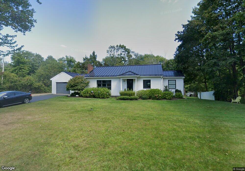
921 Main St Hanover, MA 02339
Estimated Value: $600,695 - $850,000
3
Beds
2
Baths
1,108
Sq Ft
$624/Sq Ft
Est. Value
About This Home
This home is located at 921 Main St, Hanover, MA 02339 and is currently estimated at $691,924, approximately $624 per square foot. 921 Main St is a home located in Plymouth County with nearby schools including Hanover High School, South Shore Charter Public School, and Norwell KinderCare.
Ownership History
Date
Name
Owned For
Owner Type
Purchase Details
Closed on
Jan 13, 2011
Sold by
Stoddard John W
Bought by
Stoddard John W and Stoddard Margie
Current Estimated Value
Home Financials for this Owner
Home Financials are based on the most recent Mortgage that was taken out on this home.
Original Mortgage
$100,000
Outstanding Balance
$67,892
Interest Rate
4.77%
Mortgage Type
Unknown
Estimated Equity
$624,032
Purchase Details
Closed on
Apr 12, 1972
Bought by
Stoddard John W and Stoddard Margie
Create a Home Valuation Report for This Property
The Home Valuation Report is an in-depth analysis detailing your home's value as well as a comparison with similar homes in the area
Home Values in the Area
Average Home Value in this Area
Purchase History
| Date | Buyer | Sale Price | Title Company |
|---|---|---|---|
| Stoddard John W | -- | -- | |
| Stoddard John W | -- | -- | |
| Stoddard John W | -- | -- |
Source: Public Records
Mortgage History
| Date | Status | Borrower | Loan Amount |
|---|---|---|---|
| Open | Stoddard John W | $100,000 |
Source: Public Records
Tax History
| Year | Tax Paid | Tax Assessment Tax Assessment Total Assessment is a certain percentage of the fair market value that is determined by local assessors to be the total taxable value of land and additions on the property. | Land | Improvement |
|---|---|---|---|---|
| 2025 | $6,741 | $545,800 | $321,700 | $224,100 |
| 2024 | $7,035 | $547,900 | $321,700 | $226,200 |
| 2023 | $6,732 | $499,000 | $292,500 | $206,500 |
| 2022 | $6,188 | $405,800 | $243,700 | $162,100 |
| 2021 | $6,196 | $379,400 | $221,600 | $157,800 |
| 2020 | $6,118 | $375,100 | $221,600 | $153,500 |
| 2019 | $5,873 | $357,900 | $221,600 | $136,300 |
| 2018 | $11,082 | $348,700 | $221,600 | $127,100 |
| 2017 | $5,643 | $341,600 | $226,900 | $114,700 |
| 2016 | $5,414 | $321,100 | $206,400 | $114,700 |
| 2015 | $5,263 | $325,900 | $225,100 | $100,800 |
Source: Public Records
Map
Nearby Homes
- 776 Main St
- 535 Webster St
- 44 Stone Meadow Ln
- 46 Brookwood Rd
- 47 Stone Meadow Ln
- 53 Chestnut St
- 36 Bayberry Ln
- 506 Main St
- 18 Winterberry Ln
- 49 Washington Park Dr
- 738 Whiting St
- 62 Larchmont Ln
- 168 Larchmont Ln
- 303 Pond St
- 8 Blueberry Ct
- 214 Washington St Unit 24
- 214 Washington St Unit 28
- 26 Hobart Ln Unit 26,C
- 206-208 Hinghm St
- 18 Colby St
Your Personal Tour Guide
Ask me questions while you tour the home.