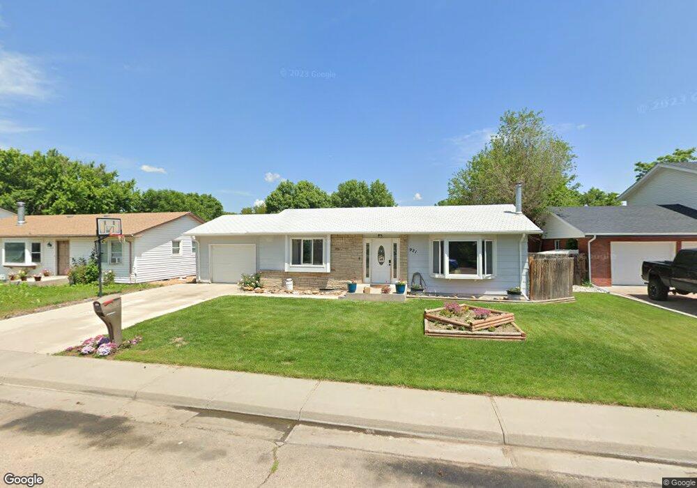
921 Michael Ave Fort Morgan, CO 80701
Estimated Value: $336,000 - $366,000
3
Beds
2
Baths
1,612
Sq Ft
$220/Sq Ft
Est. Value
About This Home
This home is located at 921 Michael Ave, Fort Morgan, CO 80701 and is currently estimated at $354,280, approximately $219 per square foot. 921 Michael Ave is a home located in Morgan County with nearby schools including Fort Morgan High School and Lighthouse Seventh-day Adventist Christian School.
Ownership History
Date
Name
Owned For
Owner Type
Purchase Details
Closed on
Jul 20, 2007
Sold by
Harold Michael K
Bought by
Hall Wendy S and Hall Christopher M
Current Estimated Value
Home Financials for this Owner
Home Financials are based on the most recent Mortgage that was taken out on this home.
Original Mortgage
$116,000
Outstanding Balance
$72,655
Interest Rate
6.54%
Mortgage Type
New Conventional
Estimated Equity
$281,625
Create a Home Valuation Report for This Property
The Home Valuation Report is an in-depth analysis detailing your home's value as well as a comparison with similar homes in the area
Home Values in the Area
Average Home Value in this Area
Purchase History
| Date | Buyer | Sale Price | Title Company |
|---|---|---|---|
| Hall Wendy S | $124,000 | None Available |
Source: Public Records
Mortgage History
| Date | Status | Borrower | Loan Amount |
|---|---|---|---|
| Open | Hall Wendy S | $116,000 |
Source: Public Records
Tax History Compared to Growth
Tax History
| Year | Tax Paid | Tax Assessment Tax Assessment Total Assessment is a certain percentage of the fair market value that is determined by local assessors to be the total taxable value of land and additions on the property. | Land | Improvement |
|---|---|---|---|---|
| 2024 | $1,580 | $19,730 | $2,510 | $17,220 |
| 2023 | $1,580 | $23,420 | $2,980 | $20,440 |
| 2022 | $1,310 | $15,980 | $2,920 | $13,060 |
| 2021 | $1,349 | $16,440 | $3,000 | $13,440 |
| 2020 | $1,269 | $15,050 | $2,860 | $12,190 |
| 2019 | $1,271 | $15,050 | $2,860 | $12,190 |
| 2018 | $1,013 | $11,820 | $2,380 | $9,440 |
| 2017 | $1,014 | $11,820 | $2,380 | $9,440 |
| 2016 | $945 | $10,910 | $2,870 | $8,040 |
| 2015 | $931 | $10,910 | $2,870 | $8,040 |
| 2014 | $864 | $9,870 | $2,550 | $7,320 |
| 2013 | -- | $9,870 | $2,550 | $7,320 |
Source: Public Records
Map
Nearby Homes
- 620 Cherry St
- 435 Dahlia St
- 423 Cherry St
- 431 Dahlia St
- 417 Gayle St
- 335 Belmont Place
- 402 Gayle St
- 303 Belmont Place
- 329 Ash St
- 422 Elm St
- 520 Cove Ln
- 1072 E Burlington Ave
- 220 Spruce St
- 16211 County Road 19
- 19411 County Road Q
- 332 Circle Dr
- 300 Willow St
- 299 Willow St
- 298 Boxelder St
- 104 Gateway Ave