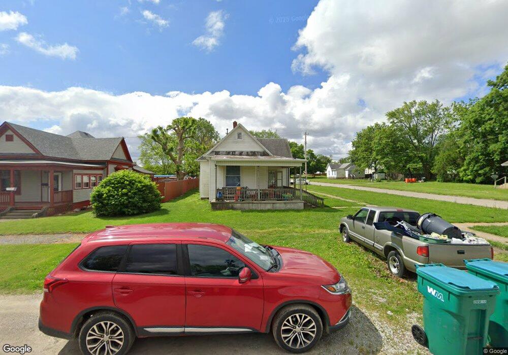
921 Moultrie Ave Mattoon, IL 61938
Estimated Value: $58,574 - $91,000
3
Beds
1
Bath
1,018
Sq Ft
$70/Sq Ft
Est. Value
About This Home
This home is located at 921 Moultrie Ave, Mattoon, IL 61938 and is currently estimated at $71,144, approximately $69 per square foot. 921 Moultrie Ave is a home located in Coles County with nearby schools including Mattoon High School, St Mary School, and St. John's Lutheran School.
Ownership History
Date
Name
Owned For
Owner Type
Purchase Details
Closed on
Mar 17, 2017
Sold by
Greeson Kent and Greeson Michelle
Bought by
Turner Samuel and Turner Olivia
Current Estimated Value
Purchase Details
Closed on
Oct 28, 2014
Sold by
Coles County Sheriff
Bought by
K & M Properties
Purchase Details
Closed on
Dec 8, 2011
Sold by
Coles County
Bought by
Maggitt Robecca A
Purchase Details
Closed on
Nov 10, 2008
Sold by
Maggitt Robecca A
Bought by
Cole County
Purchase Details
Closed on
Jan 17, 2008
Sold by
Carter Ralph E and Carter Verna F
Bought by
Maggitt Robecca A
Create a Home Valuation Report for This Property
The Home Valuation Report is an in-depth analysis detailing your home's value as well as a comparison with similar homes in the area
Home Values in the Area
Average Home Value in this Area
Purchase History
| Date | Buyer | Sale Price | Title Company |
|---|---|---|---|
| Turner Samuel | $26,500 | -- | |
| K & M Properties | -- | -- | |
| Maggitt Robecca A | -- | None Available | |
| Cole County | -- | None Available | |
| Maggitt Robecca A | $35,000 | None Available |
Source: Public Records
Tax History Compared to Growth
Tax History
| Year | Tax Paid | Tax Assessment Tax Assessment Total Assessment is a certain percentage of the fair market value that is determined by local assessors to be the total taxable value of land and additions on the property. | Land | Improvement |
|---|---|---|---|---|
| 2024 | $553 | $12,398 | $1,243 | $11,155 |
| 2023 | $457 | $11,070 | $1,110 | $9,960 |
| 2022 | $431 | $10,887 | $1,092 | $9,795 |
| 2021 | $411 | $10,000 | $1,003 | $8,997 |
| 2020 | $404 | $10,361 | $1,039 | $9,322 |
| 2019 | $736 | $13,875 | $2,820 | $11,055 |
| 2018 | $723 | $13,875 | $2,820 | $11,055 |
| 2017 | $1,267 | $13,875 | $2,820 | $11,055 |
| 2016 | $1,243 | $13,875 | $2,820 | $11,055 |
| 2015 | $1,225 | $13,875 | $2,820 | $11,055 |
| 2014 | $1,225 | $13,875 | $2,820 | $11,055 |
| 2013 | $1,225 | $13,875 | $2,820 | $11,055 |
Source: Public Records
Map
Nearby Homes
- 1021 Piatt Ave
- 916 Piatt Ave
- 1205 Champaign Ave
- 817 N 11th St
- 801 Richmond Ave
- 512 Dewitt Ave
- 1412 Champaign Ave
- 1120 Broadway Ave
- 421 Dewitt Ave
- 909 Broadway Ave
- 1120 N 11th St
- 1612 Richmond Ave
- 1001 Wabash Ave
- 1705 Dewitt Ave
- 720 Edgar Ave
- 609 Lafayette Ave
- 1900 Champaign Ave
- 1816 Grant Ave
- 1905 Dewitt Ave
- 1904 Dewitt Ave
- 917 Moultrie Ave
- 913 Moultrie Ave
- 1001 Moultrie Ave
- 909 Moultrie Ave
- 920 Shelby Ave
- 1005 Moultrie Ave
- 905 Moultrie Ave
- 1000 Moultrie Ave
- 1000 Shelby Ave
- 920 Moultrie Ave
- 1004 Moultrie Ave
- 916 Moultrie Ave
- 1009 Moultrie Ave
- 1004 Shelby Ave
- 912 Moultrie Ave
- 901 Moultrie Ave
- 908 Moultrie Ave
- 1013 Moultrie Ave
- 1008 Shelby Ave
- 904 Moultrie Ave