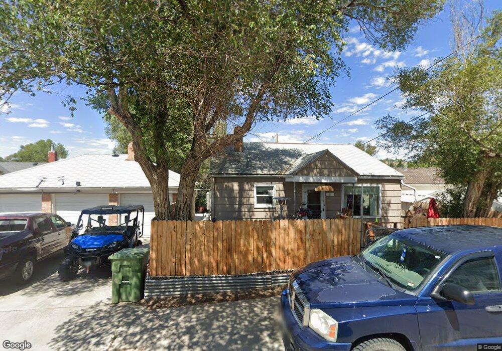
921 New Hampshire St Unit Rhode Island Rock Springs, WY 82901
Estimated Value: $118,000 - $355,000
5
Beds
5
Baths
4,642
Sq Ft
$55/Sq Ft
Est. Value
About This Home
This home is located at 921 New Hampshire St Unit Rhode Island, Rock Springs, WY 82901 and is currently estimated at $253,065, approximately $54 per square foot. 921 New Hampshire St Unit Rhode Island is a home located in Sweetwater County with nearby schools including Walnut Elementary School, Rock Springs Junior High School, and Rock Springs High School.
Ownership History
Date
Name
Owned For
Owner Type
Purchase Details
Closed on
Sep 8, 2021
Sold by
Ferlic Frank S and Ferlic Christie L
Bought by
Purcell Jerome W and Purcell Florence J
Current Estimated Value
Home Financials for this Owner
Home Financials are based on the most recent Mortgage that was taken out on this home.
Original Mortgage
$238,000
Outstanding Balance
$216,239
Interest Rate
2.7%
Mortgage Type
VA
Estimated Equity
$36,826
Create a Home Valuation Report for This Property
The Home Valuation Report is an in-depth analysis detailing your home's value as well as a comparison with similar homes in the area
Home Values in the Area
Average Home Value in this Area
Purchase History
| Date | Buyer | Sale Price | Title Company |
|---|---|---|---|
| Purcell Jerome W | $233,240 | First American Title |
Source: Public Records
Mortgage History
| Date | Status | Borrower | Loan Amount |
|---|---|---|---|
| Open | Purcell Jerome W | $238,000 |
Source: Public Records
Tax History Compared to Growth
Tax History
| Year | Tax Paid | Tax Assessment Tax Assessment Total Assessment is a certain percentage of the fair market value that is determined by local assessors to be the total taxable value of land and additions on the property. | Land | Improvement |
|---|---|---|---|---|
| 2025 | $2,235 | $21,468 | $1,781 | $19,687 |
| 2024 | $2,235 | $30,223 | $2,375 | $27,848 |
| 2023 | $2,111 | $29,152 | $2,375 | $26,777 |
| 2022 | $1,914 | $26,197 | $2,375 | $23,822 |
| 2021 | $1,761 | $24,033 | $2,375 | $21,658 |
| 2020 | $2,073 | $28,324 | $2,375 | $25,949 |
| 2019 | $2,029 | $27,940 | $2,375 | $25,565 |
| 2018 | $1,946 | $26,744 | $2,375 | $24,369 |
| 2017 | $1,936 | $26,488 | $2,375 | $24,113 |
| 2014 | -- | $10,409 | $0 | $0 |
Source: Public Records
Map
Nearby Homes
- 922 New Hampshire St
- 740 Rhode Island Ave
- 804 Connecticut Ave
- 820 Connecticut Ave
- 1104 New Hampshire St
- 1002 Wyoming St
- 1116 Wyoming St
- 716 B St
- 805 Walnut St
- 518 A St
- 506 R St
- 1210 Mccabe St
- 1300 New Hampshire St
- 416 R St
- 820 Maple St
- 413 Hay St
- 809 Ash St
- 1805 Carson St
- 1408 Collins St
- 220 Liberty St
- 921 New Hampshire St
- 737 Rhode Island Ave
- 731 Rhode Island Ave
- 801 Rhode Island Ave
- 803 Rhode Island Ave
- 725 Rhode Island Ave
- 740 Connecticut Ave
- 738 Connecticut Ave
- 805 Rhode Island Ave
- 719 Rhode Island Ave Unit D Street
- 746 Rhode Island Ave
- 740 Rhode Island Ave Unit New Hampshire Street
- 804 Connecticut Ave Unit New Hampshire
- 726 Connecticut Ave
- 734 Rhode Island Ave
- 802 Rhode Island Ave
- 802 Rhode Island Ave Unit New Hampshire
- 810 Connecticut Ave
- 809 Rhode Island Ave
- 808 Rhode Island Ave