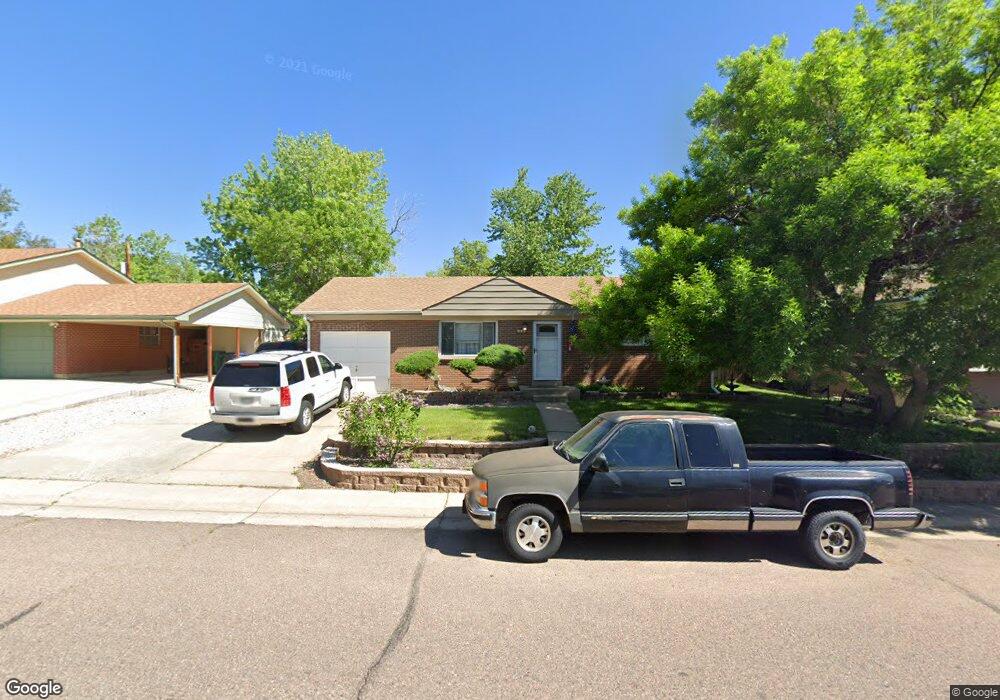
921 Phillips Dr Northglenn, CO 80233
Estimated Value: $368,057 - $446,000
2
Beds
2
Baths
850
Sq Ft
$479/Sq Ft
Est. Value
About This Home
This home is located at 921 Phillips Dr, Northglenn, CO 80233 and is currently estimated at $407,264, approximately $479 per square foot. 921 Phillips Dr is a home located in Adams County with nearby schools including Malley Drive Elementary School, Northglenn Middle School, and Mountain Range High School.
Ownership History
Date
Name
Owned For
Owner Type
Purchase Details
Closed on
Jun 30, 1999
Sold by
Michael Mcdonald F and Michael Blynda J
Bought by
Guitron Jeannie and Guitron Juan
Current Estimated Value
Home Financials for this Owner
Home Financials are based on the most recent Mortgage that was taken out on this home.
Original Mortgage
$134,867
Outstanding Balance
$33,926
Interest Rate
7.21%
Mortgage Type
FHA
Estimated Equity
$373,338
Purchase Details
Closed on
May 27, 1997
Sold by
Edward Young John and Edward Jo Young
Bought by
Mcdonald F Michael and Mcdonald Blynda J
Home Financials for this Owner
Home Financials are based on the most recent Mortgage that was taken out on this home.
Original Mortgage
$112,781
Interest Rate
8.17%
Mortgage Type
FHA
Create a Home Valuation Report for This Property
The Home Valuation Report is an in-depth analysis detailing your home's value as well as a comparison with similar homes in the area
Home Values in the Area
Average Home Value in this Area
Purchase History
| Date | Buyer | Sale Price | Title Company |
|---|---|---|---|
| Guitron Jeannie | $135,800 | First American Heritage Titl | |
| Mcdonald F Michael | $113,500 | -- |
Source: Public Records
Mortgage History
| Date | Status | Borrower | Loan Amount |
|---|---|---|---|
| Open | Guitron Jeannie | $134,867 | |
| Previous Owner | Mcdonald F Michael | $112,781 |
Source: Public Records
Tax History
| Year | Tax Paid | Tax Assessment Tax Assessment Total Assessment is a certain percentage of the fair market value that is determined by local assessors to be the total taxable value of land and additions on the property. | Land | Improvement |
|---|---|---|---|---|
| 2025 | $3,053 | $28,020 | $6,260 | $21,760 |
| 2024 | $3,053 | $25,750 | $5,750 | $20,000 |
| 2023 | $3,025 | $29,290 | $5,610 | $23,680 |
| 2022 | $3,007 | $23,810 | $5,770 | $18,040 |
| 2021 | $3,103 | $23,810 | $5,770 | $18,040 |
| 2020 | $2,921 | $22,860 | $5,930 | $16,930 |
| 2019 | $2,923 | $22,860 | $5,930 | $16,930 |
| 2018 | $2,233 | $17,020 | $5,400 | $11,620 |
| 2017 | $2,055 | $17,020 | $5,400 | $11,620 |
| 2016 | $1,687 | $13,640 | $3,020 | $10,620 |
| 2015 | $1,683 | $13,640 | $3,020 | $10,620 |
| 2014 | $1,461 | $11,530 | $2,390 | $9,140 |
Source: Public Records
Map
Nearby Homes
- 11735 Spring Dr
- 11470 Clarkson St
- 11474 Marion St
- 11892 McCrumb Dr
- 11760 Grant St
- 11651 Sherman St
- 11668 Lincoln St
- 11966 Spring Dr
- 11807 Sherman St
- 11258 Larson Ln
- 11658 Community Center Dr Unit 99
- 11658 Community Center Dr Unit 97
- 11524 Community Center Dr Unit 24
- 11608 Community Center Dr Unit 14
- 11518 Community Center Dr Unit 20
- 11360 Irma Dr
- 11217 Grant Dr Unit B1
- 1885 E 115th Ave
- 11632 Community Center Dr Unit 53
- 1025 Elmer Dr
Your Personal Tour Guide
Ask me questions while you tour the home.