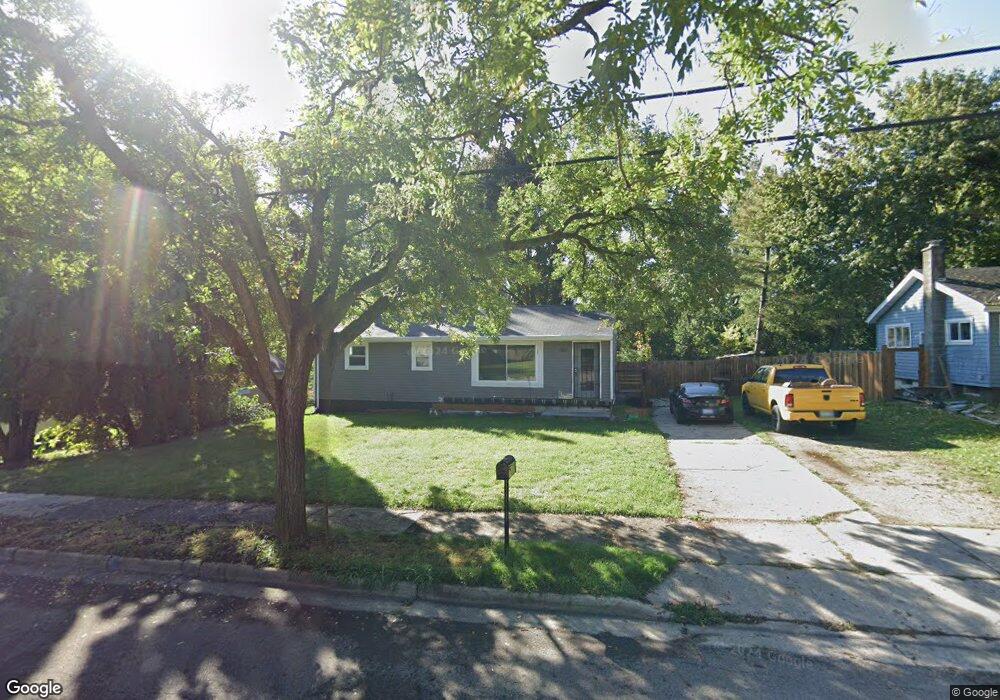
921 Reo Rd Lansing, MI 48910
Old Everett NeighborhoodEstimated Value: $101,000 - $134,000
--
Bed
--
Bath
960
Sq Ft
$126/Sq Ft
Est. Value
About This Home
This home is located at 921 Reo Rd, Lansing, MI 48910 and is currently estimated at $121,231, approximately $126 per square foot. 921 Reo Rd is a home located in Ingham County with nearby schools including Reo Elementary School, Attwood School, and Everett High School.
Ownership History
Date
Name
Owned For
Owner Type
Purchase Details
Closed on
May 20, 2022
Sold by
Curtin Gordon M
Bought by
Curtin Shawn E
Current Estimated Value
Purchase Details
Closed on
Aug 20, 2021
Sold by
Taylor Jenifer
Bought by
Curtin Gordon and Curtin Shawn E
Home Financials for this Owner
Home Financials are based on the most recent Mortgage that was taken out on this home.
Original Mortgage
$101,495
Interest Rate
2.9%
Mortgage Type
FHA
Purchase Details
Closed on
Jul 31, 2019
Sold by
Ingham County Treasurer
Bought by
Taylor Jenifer
Purchase Details
Closed on
Dec 5, 2005
Sold by
Johnson James
Bought by
Johnson Athel Fay
Purchase Details
Closed on
Feb 26, 2001
Sold by
Curtis Athel Fay and Johnson Athel Fay
Bought by
Johnson James and Johnson Athel Fay
Create a Home Valuation Report for This Property
The Home Valuation Report is an in-depth analysis detailing your home's value as well as a comparison with similar homes in the area
Home Values in the Area
Average Home Value in this Area
Purchase History
| Date | Buyer | Sale Price | Title Company |
|---|---|---|---|
| Curtin Shawn E | -- | None Listed On Document | |
| Curtin Gordon | $105,000 | Lakeland Ttl Of Mecoasta Co | |
| Taylor Jenifer | $41,000 | None Available | |
| Johnson Athel Fay | -- | None Available | |
| Johnson James | -- | -- |
Source: Public Records
Mortgage History
| Date | Status | Borrower | Loan Amount |
|---|---|---|---|
| Previous Owner | Curtin Gordon | $101,495 |
Source: Public Records
Tax History Compared to Growth
Tax History
| Year | Tax Paid | Tax Assessment Tax Assessment Total Assessment is a certain percentage of the fair market value that is determined by local assessors to be the total taxable value of land and additions on the property. | Land | Improvement |
|---|---|---|---|---|
| 2025 | $2,105 | $50,700 | $8,400 | $42,300 |
| 2024 | $16 | $38,500 | $8,400 | $30,100 |
| 2023 | $1,975 | $33,500 | $8,400 | $25,100 |
| 2022 | $1,783 | $28,400 | $6,300 | $22,100 |
| 2021 | $2,058 | $26,400 | $5,900 | $20,500 |
| 2020 | $2,044 | $24,900 | $5,900 | $19,000 |
| 2019 | $3,491 | $24,900 | $5,900 | $19,000 |
| 2018 | $1,842 | $23,800 | $5,900 | $17,900 |
| 2017 | $4,066 | $23,800 | $5,900 | $17,900 |
| 2016 | $1,443 | $23,400 | $5,900 | $17,500 |
| 2015 | $1,443 | $22,700 | $11,806 | $10,894 |
| 2014 | $1,443 | $22,600 | $16,866 | $5,734 |
Source: Public Records
Map
Nearby Homes
- 833 Dornell Ave
- 4407 Burchfield Ave
- 4414 S Martin Luther King jr Blvd
- 4935 Delray Dr
- 4221 S Martin Luther King Junior Blvd
- 5006 Delbrook Ave
- 4114 Burchfield Dr
- 5026 Delray Dr Unit A
- 4125 Lowcroft Ave
- 600 W Cavanaugh Rd
- 0 W Jolly Rd
- 1415 Reo Rd
- 0 Eaton Ct
- 1324 N Briarfield Dr
- 1113 Eaton Ct
- 1420 Reo Rd
- 4004 Lowcroft Ave
- 1429 Pierce Rd
- 1422 Pierce Rd
- 1500 Pierce Rd