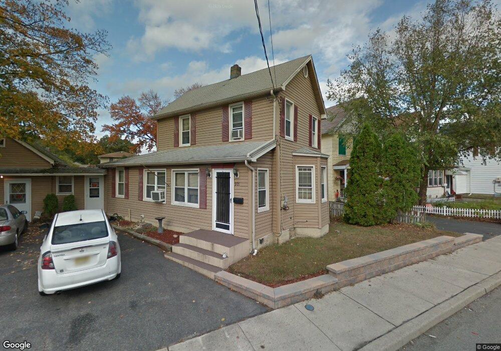
921 Ringwood Ave Haskell, NJ 07420
Estimated Value: $406,000 - $500,000
2
Beds
1
Bath
1,641
Sq Ft
$282/Sq Ft
Est. Value
About This Home
This home is located at 921 Ringwood Ave, Haskell, NJ 07420 and is currently estimated at $462,314, approximately $281 per square foot. 921 Ringwood Ave is a home located in Passaic County with nearby schools including Lakeland Reg High School and St Marys School.
Ownership History
Date
Name
Owned For
Owner Type
Purchase Details
Closed on
Nov 3, 2021
Sold by
U S Bank Natinal Association
Bought by
921 Ringwood Ave Llc
Current Estimated Value
Home Financials for this Owner
Home Financials are based on the most recent Mortgage that was taken out on this home.
Original Mortgage
$168,000
Outstanding Balance
$153,943
Interest Rate
2.99%
Mortgage Type
Construction
Estimated Equity
$308,371
Purchase Details
Closed on
Sep 9, 2019
Sold by
Dillinsky Shirley A and Dillinsky George
Bought by
Us Bank National Association and The Rmac Trust
Create a Home Valuation Report for This Property
The Home Valuation Report is an in-depth analysis detailing your home's value as well as a comparison with similar homes in the area
Home Values in the Area
Average Home Value in this Area
Purchase History
| Date | Buyer | Sale Price | Title Company |
|---|---|---|---|
| 921 Ringwood Ave Llc | $252,007 | Mortgage Connect Lp | |
| 921 Ringwood Ave Llc | $252,007 | Gordan Stuart | |
| Us Bank National Association | -- | None Available |
Source: Public Records
Mortgage History
| Date | Status | Borrower | Loan Amount |
|---|---|---|---|
| Open | 921 Ringwood Ave Llc | $168,000 | |
| Closed | 921 Ringwood Ave Llc | $168,000 |
Source: Public Records
Tax History
| Year | Tax Paid | Tax Assessment Tax Assessment Total Assessment is a certain percentage of the fair market value that is determined by local assessors to be the total taxable value of land and additions on the property. | Land | Improvement |
|---|---|---|---|---|
| 2025 | $8,406 | $194,900 | $76,900 | $118,000 |
| 2024 | $8,238 | $194,900 | $76,900 | $118,000 |
Source: Public Records
Map
Nearby Homes
- 5 Storms Place
- 17 Locust St
- 72 Burnside Place
- 1025 Ringwood Ave
- 24 Roseland Ave
- 59 Carter Rd Unit A2
- 36 Elston Ct
- 19 Dogwood Ln Unit 19
- 19 Dogwood Ln Unit U9F
- 23 Dogwood Ln
- 43 Elston Ct Unit 301
- 9116 Warrens Way Unit 116
- 9116 Warrens Way
- 2 Roger Ave
- 10123 Warrens Way
- 10323 Warrens Way
- 19 Skyland Ave
- 9411 Warrens Way
- 8212 Warrens Way
- 748 Ringwood Ave
- 919 Ringwood Ave
- 923 Ringwood Ave
- 923 Ringwood Ave Unit 2
- 917 Ringwood Ave
- 915 Ringwood Ave
- 938 Ringwood Ave
- 930 Ringwood Ave
- 930 Ringwood Ave Unit Front
- 928 Ringwood Ave
- 932 Ringwood Ave
- 942 Ringwood Ave
- 942 Ringwood Ave Unit 2
- 937 Ringwood Ave Unit 2
- 937 Ringwood Ave Unit 1
- 937 Ringwood Ave
- 7 Jenkins Ave
- 20 Storms Place
- 10 Storms Place
- 12 Storms Place Unit 1
- 12 Storms Place
Your Personal Tour Guide
Ask me questions while you tour the home.