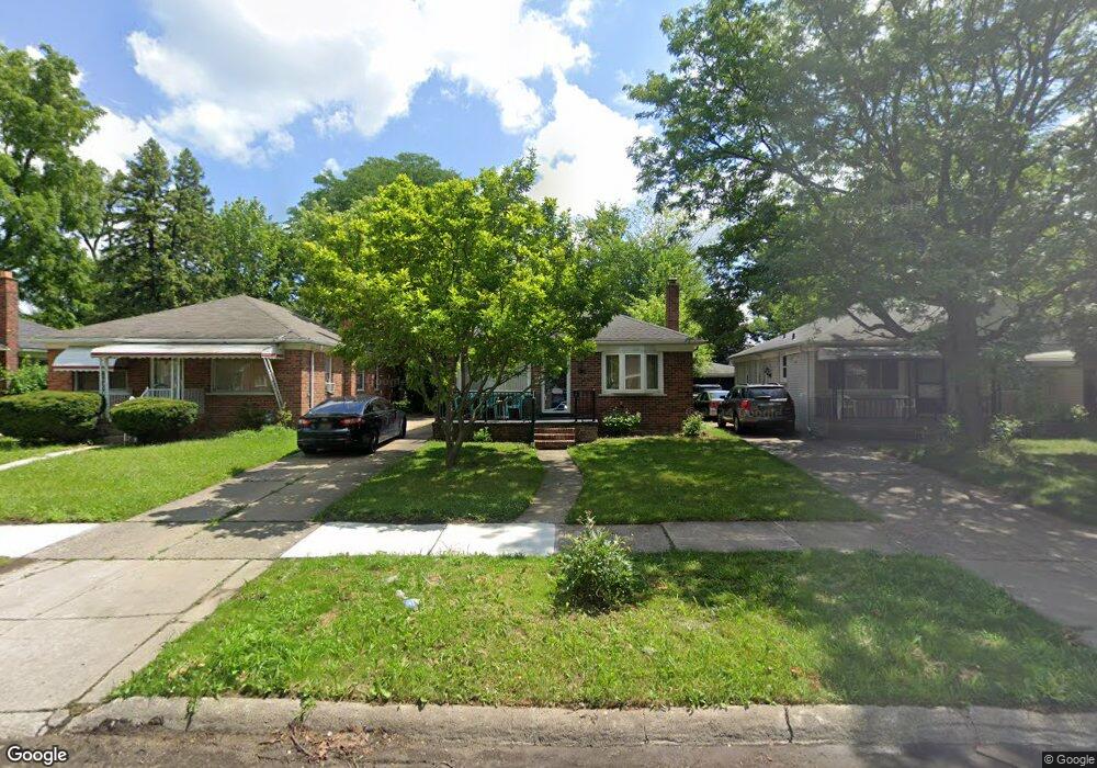
921 Sherbourne St Inkster, MI 48141
Estimated Value: $142,092 - $166,000
3
Beds
2
Baths
1,050
Sq Ft
$143/Sq Ft
Est. Value
About This Home
This home is located at 921 Sherbourne St, Inkster, MI 48141 and is currently estimated at $150,523, approximately $143 per square foot. 921 Sherbourne St is a home located in Wayne County with nearby schools including David Hicks School, Marshall Upper Elementary School, and John Glenn High School.
Ownership History
Date
Name
Owned For
Owner Type
Purchase Details
Closed on
Jul 6, 2017
Sold by
Australian Oertions Mangements Llc
Bought by
Jet Investments Group
Current Estimated Value
Purchase Details
Closed on
Mar 29, 2011
Sold by
Chief Financial Federal Credit Union
Bought by
Australian Operations Management Llc
Purchase Details
Closed on
Mar 17, 2010
Sold by
Wright Aleata M
Bought by
Chief Financial Credit Union and Chief Pontiac Federal Credit Union
Create a Home Valuation Report for This Property
The Home Valuation Report is an in-depth analysis detailing your home's value as well as a comparison with similar homes in the area
Home Values in the Area
Average Home Value in this Area
Purchase History
| Date | Buyer | Sale Price | Title Company |
|---|---|---|---|
| Jet Investments Group | $30,000 | None Available | |
| Australian Operations Management Llc | $20,250 | Partners Title Agency Llc | |
| Chief Financial Credit Union | $100,000 | None Available |
Source: Public Records
Tax History Compared to Growth
Tax History
| Year | Tax Paid | Tax Assessment Tax Assessment Total Assessment is a certain percentage of the fair market value that is determined by local assessors to be the total taxable value of land and additions on the property. | Land | Improvement |
|---|---|---|---|---|
| 2025 | $1,813 | $61,900 | $0 | $0 |
| 2024 | $1,813 | $51,900 | $0 | $0 |
| 2023 | $1,671 | $41,300 | $0 | $0 |
| 2022 | $1,944 | $33,400 | $0 | $0 |
| 2021 | $2,030 | $30,200 | $0 | $0 |
| 2020 | $1,985 | $26,000 | $0 | $0 |
| 2019 | $1,976 | $21,700 | $0 | $0 |
| 2018 | $1,511 | $20,000 | $0 | $0 |
| 2017 | $532 | $19,800 | $0 | $0 |
| 2016 | $1,559 | $20,000 | $0 | $0 |
| 2015 | $1,520 | $15,200 | $0 | $0 |
| 2013 | $3,620 | $36,200 | $0 | $0 |
| 2012 | $2,501 | $38,100 | $3,600 | $34,500 |
Source: Public Records
Map
Nearby Homes
- 742 Arlington St
- 1014 Arlington St
- 811 Arlington St
- 1088 Arlington St
- 420 Fairwood St
- 256 Brentwood St
- 27455 Avondale St
- 26508 Monticello St
- 1432 Corona St
- 784 Patterson Ct
- 26476 Stollman Dr
- 26431 Sunningdale Dr
- 391 Arcola St
- 26251 Somerset Dr
- 1144 Center St
- 622 Tromley St
- VACANT LOT Tromley St
- 148 Rosemary St
- 212 Shadowlawn St
- 375 Arcola St
- 911 Sherbourne St
- 929 Sherbourne St
- 939 Sherbourne St
- 903 Sherbourne St
- 887 Sherbourne St
- 974 Sunningdale Dr
- 964 Sunningdale Dr
- 986 Sunningdale Dr
- 952 Sunningdale Dr
- 996 Sunningdale Dr
- 940 Sunningdale Dr
- 875 Sherbourne St
- 928 Sunningdale Dr
- 914 Sherbourne St
- 936 Sherbourne St
- 904 Sherbourne St
- 26958 N River Park Dr
- 916 Sunningdale Dr
- 865 Sherbourne St
- 882 Sherbourne St