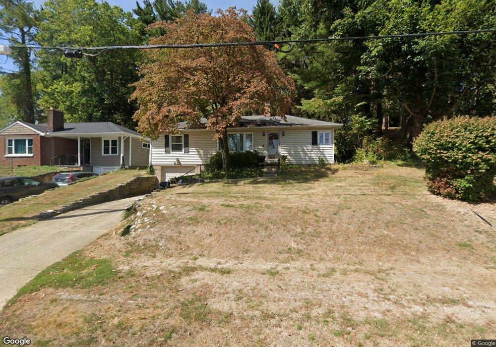
921 Sheridan Dr Lancaster, OH 43130
Estimated Value: $193,000 - $255,000
2
Beds
2
Baths
1,826
Sq Ft
$128/Sq Ft
Est. Value
About This Home
This home is located at 921 Sheridan Dr, Lancaster, OH 43130 and is currently estimated at $233,799, approximately $128 per square foot. 921 Sheridan Dr is a home located in Fairfield County with nearby schools including Medill Elementary School, Thomas Ewing Junior High School, and Lancaster High School.
Ownership History
Date
Name
Owned For
Owner Type
Purchase Details
Closed on
May 23, 2016
Sold by
Meadows L Mark
Bought by
Meadows Philip M and Meadows Megan K
Current Estimated Value
Purchase Details
Closed on
May 26, 2006
Sold by
Wolfinger Betty J
Bought by
Meadows L Mark
Home Financials for this Owner
Home Financials are based on the most recent Mortgage that was taken out on this home.
Original Mortgage
$89,000
Outstanding Balance
$51,055
Interest Rate
6.62%
Mortgage Type
Fannie Mae Freddie Mac
Estimated Equity
$182,744
Create a Home Valuation Report for This Property
The Home Valuation Report is an in-depth analysis detailing your home's value as well as a comparison with similar homes in the area
Home Values in the Area
Average Home Value in this Area
Purchase History
| Date | Buyer | Sale Price | Title Company |
|---|---|---|---|
| Meadows Philip M | $85,000 | Northwest Title Family Of Co | |
| Meadows L Mark | $89,000 | None Available |
Source: Public Records
Mortgage History
| Date | Status | Borrower | Loan Amount |
|---|---|---|---|
| Open | Meadows L Mark | $89,000 |
Source: Public Records
Tax History
| Year | Tax Paid | Tax Assessment Tax Assessment Total Assessment is a certain percentage of the fair market value that is determined by local assessors to be the total taxable value of land and additions on the property. | Land | Improvement |
|---|---|---|---|---|
| 2025 | $5,455 | $85,710 | $18,870 | $66,840 |
| 2024 | $5,455 | $60,680 | $12,830 | $47,850 |
| 2023 | $2,255 | $60,680 | $12,830 | $47,850 |
| 2022 | $2,268 | $60,680 | $12,830 | $47,850 |
| 2021 | $1,792 | $44,930 | $10,750 | $34,180 |
| 2020 | $1,719 | $44,930 | $10,750 | $34,180 |
| 2019 | $1,636 | $44,930 | $10,750 | $34,180 |
| 2018 | $1,435 | $34,990 | $10,750 | $24,240 |
| 2017 | $1,436 | $37,420 | $11,320 | $26,100 |
| 2016 | $1,399 | $37,420 | $11,320 | $26,100 |
| 2015 | $1,360 | $36,250 | $11,320 | $24,930 |
| 2014 | $1,296 | $36,250 | $11,320 | $24,930 |
| 2013 | $1,296 | $36,250 | $11,320 | $24,930 |
Source: Public Records
Map
Nearby Homes
- 1254 E Fair Ave
- 1281 E Allen St
- 1285 Huffer Ave
- 641 Sheridan Dr
- 630 Sheridan Dr
- 627 Sheridan Dr
- 1376 Frederick St
- 1306 Shumaker Ave
- 621 Harding Ave
- 810 N Eastwood Ave
- 612 Oakwood Ave
- 138 N Ewing St
- 1066 Lanreco Blvd
- 705 Madison Ave
- 664 Smithfield Ave
- 274 Kanawha Rd
- 859 E Mulberry St
- 869 E Mulberry St
- 1020 Sycamore Dr
- 105 Dogwood Ln
- 915 Sheridan Dr
- 901 Sheridan Dr
- 870 Sheridan Dr
- 1225 E Fair Ave
- 1193 E Fair Ave
- 914 Sheridan Dr
- 860 Sheridan Dr
- 941 Sheridan Dr
- 920 Sheridan Dr
- 852 Sheridan Dr
- 1228 E Fair Ave
- 1232 Wetsell Ave
- 1235 E Fair Ave
- 839 Sheridan Dr
- 846 Sheridan Dr
- 1181 E Fair Ave
- 844 Sheridan Dr
- 1186 E Fair Ave
- 1243 E Fair Ave
- 1244 Wetsell Ave
Your Personal Tour Guide
Ask me questions while you tour the home.