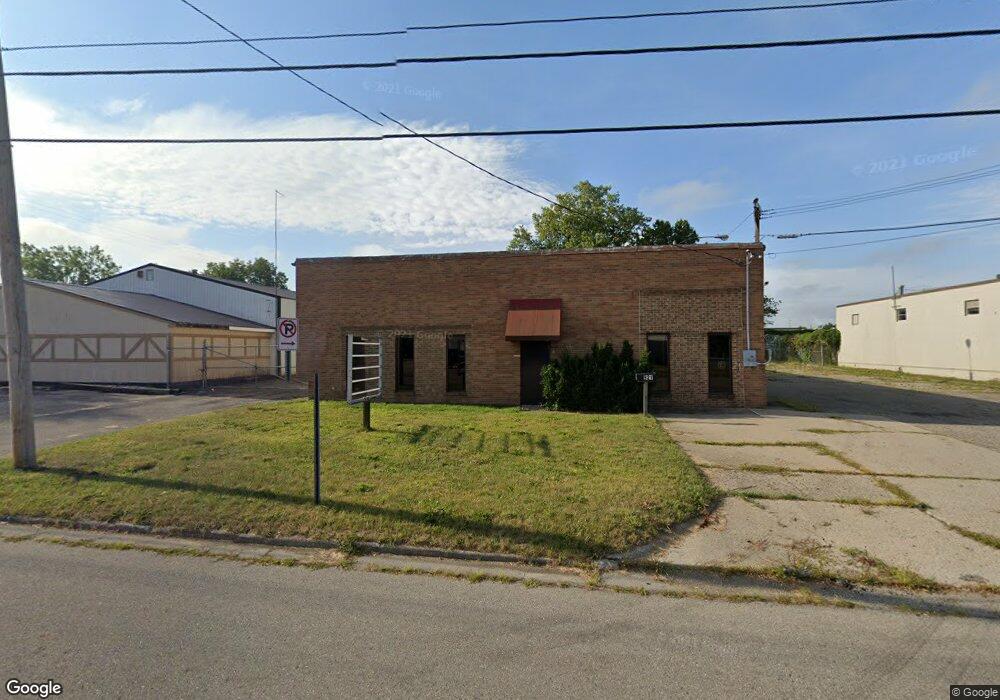
921 Terminal Rd Lansing, MI 48906
Creston NeighborhoodEstimated Value: $633,153
--
Bed
--
Bath
5,000
Sq Ft
$127/Sq Ft
Est. Value
About This Home
This home is located at 921 Terminal Rd, Lansing, MI 48906 and is currently estimated at $633,153, approximately $126 per square foot. 921 Terminal Rd is a home located in Ingham County with nearby schools including Gier Park School, Pattengill Academy, and Eastern High School.
Ownership History
Date
Name
Owned For
Owner Type
Purchase Details
Closed on
May 5, 2020
Sold by
Ruzich Richard T
Bought by
Rgr Real Estate Llc
Current Estimated Value
Purchase Details
Closed on
Apr 12, 2019
Sold by
Ruzich Richard
Bought by
Ruzich Richard T and Richard T Ruzich Trust
Purchase Details
Closed on
Feb 1, 2019
Sold by
Williams James L
Bought by
Ruzich Richard
Purchase Details
Closed on
Oct 5, 2017
Sold by
Crist Theresa L and Crist David A
Bought by
Williams James L
Create a Home Valuation Report for This Property
The Home Valuation Report is an in-depth analysis detailing your home's value as well as a comparison with similar homes in the area
Home Values in the Area
Average Home Value in this Area
Purchase History
| Date | Buyer | Sale Price | Title Company |
|---|---|---|---|
| Rgr Real Estate Llc | -- | None Available | |
| Ruzich Richard T | -- | None Available | |
| Ruzich Richard | $375,000 | Speedy Title & Escrow Svcs L | |
| Williams James L | $47,269 | None Available |
Source: Public Records
Tax History Compared to Growth
Tax History
| Year | Tax Paid | Tax Assessment Tax Assessment Total Assessment is a certain percentage of the fair market value that is determined by local assessors to be the total taxable value of land and additions on the property. | Land | Improvement |
|---|---|---|---|---|
| 2025 | $9,228 | $123,500 | $13,700 | $109,800 |
| 2024 | $80 | $114,900 | $13,700 | $101,200 |
| 2023 | $8,670 | $108,700 | $13,500 | $95,200 |
| 2022 | $8,691 | $106,800 | $11,900 | $94,900 |
| 2021 | $7,851 | $102,100 | $10,300 | $91,800 |
| 2020 | $7,730 | $99,800 | $10,300 | $89,500 |
| 2019 | $5,450 | $71,200 | $9,400 | $61,800 |
| 2018 | $5,191 | $74,600 | $17,700 | $56,900 |
| 2017 | $5,436 | $74,600 | $17,700 | $56,900 |
| 2016 | $6,630 | $74,400 | $17,700 | $56,700 |
| 2015 | $6,630 | $96,700 | $35,420 | $61,280 |
| 2014 | $6,630 | $96,000 | $35,420 | $60,580 |
Source: Public Records
Map
Nearby Homes
- 627 W Frederick Ave
- 714 W Sheridan Rd
- 712 W Sheridan Rd
- 16967 Jones Lake Rd
- 1523 Biltmore Blvd
- 415 Filley St
- 310 W Frederick Ave
- 3021 N Grand River Ave
- 3425 Turner Rd
- 5250 N Grand River Ave
- 16653 Jerry Rd
- 2111 Delta River Dr
- 117 Desander Dr Unit 117
- 1425 Muskegon Ave
- 1616 Roseneath Ave
- 109 Desander Dr Unit 109
- 85 Nettie Ave Unit 85
- 1544 Lansing Ave
- 2220 Delta River Dr
- 213 E Thomas St
- 924 Terminal Rd
- 815 Terminal Rd
- 3216 N Mlk Blvd
- 3208 N Martin Luther King jr Blvd
- 3208 N Mlk Blvd
- 818 Terminal Rd
- 3306 N Martin Luther King Junior Blvd
- 3306 N Martin Luther King jr Blvd
- 720 Terminal Rd
- 668 Carrier St
- 711 Carrier St
- 662 Carrier St
- 657 Carrier St
- 663 W Fairfield Ave
- 652 Carrier St
- 647 Carrier St
- 659 W Fairfield Ave
- 919 Filley St
- 643 Carrier St
- 642 Carrier St