921 Tony Davis Rd West Green, GA 31567
Estimated Value: $58,000 - $104,000
--
Bed
--
Bath
720
Sq Ft
$112/Sq Ft
Est. Value
About This Home
This home is located at 921 Tony Davis Rd, West Green, GA 31567 and is currently estimated at $80,400, approximately $111 per square foot. 921 Tony Davis Rd is a home with nearby schools including West Green Elementary School, Coffee Middle School, and Coffee County High School.
Ownership History
Date
Name
Owned For
Owner Type
Purchase Details
Closed on
Jan 28, 2019
Sold by
Hersey David
Bought by
Harrison Crissy Ann
Current Estimated Value
Home Financials for this Owner
Home Financials are based on the most recent Mortgage that was taken out on this home.
Original Mortgage
$41,484
Interest Rate
4.5%
Mortgage Type
Commercial
Purchase Details
Closed on
Feb 24, 2005
Sold by
Davis Billy M
Bought by
Hersey David
Home Financials for this Owner
Home Financials are based on the most recent Mortgage that was taken out on this home.
Original Mortgage
$15,587
Interest Rate
5.6%
Mortgage Type
New Conventional
Create a Home Valuation Report for This Property
The Home Valuation Report is an in-depth analysis detailing your home's value as well as a comparison with similar homes in the area
Home Values in the Area
Average Home Value in this Area
Purchase History
| Date | Buyer | Sale Price | Title Company |
|---|---|---|---|
| Harrison Crissy Ann | $40,000 | -- | |
| Hersey David | $15,060 | -- |
Source: Public Records
Mortgage History
| Date | Status | Borrower | Loan Amount |
|---|---|---|---|
| Closed | Harrison Crissy Ann | $41,484 | |
| Previous Owner | Hersey David | $15,587 |
Source: Public Records
Tax History Compared to Growth
Tax History
| Year | Tax Paid | Tax Assessment Tax Assessment Total Assessment is a certain percentage of the fair market value that is determined by local assessors to be the total taxable value of land and additions on the property. | Land | Improvement |
|---|---|---|---|---|
| 2024 | $320 | $14,427 | $6,024 | $8,403 |
| 2023 | $320 | $14,427 | $6,024 | $8,403 |
| 2022 | $350 | $1,960 | $0 | $1,960 |
| 2021 | $350 | $1,960 | $0 | $1,960 |
| 2020 | $350 | $1,960 | $0 | $1,960 |
| 2019 | $345 | $16,192 | $6,024 | $10,168 |
| 2018 | $345 | $16,192 | $6,024 | $10,168 |
| 2017 | $346 | $16,192 | $6,024 | $10,168 |
| 2016 | $346 | $10,168 | $6,024 | $10,168 |
| 2015 | $348 | $16,192 | $6,024 | $10,168 |
| 2014 | $350 | $16,192 | $6,024 | $10,168 |
Source: Public Records
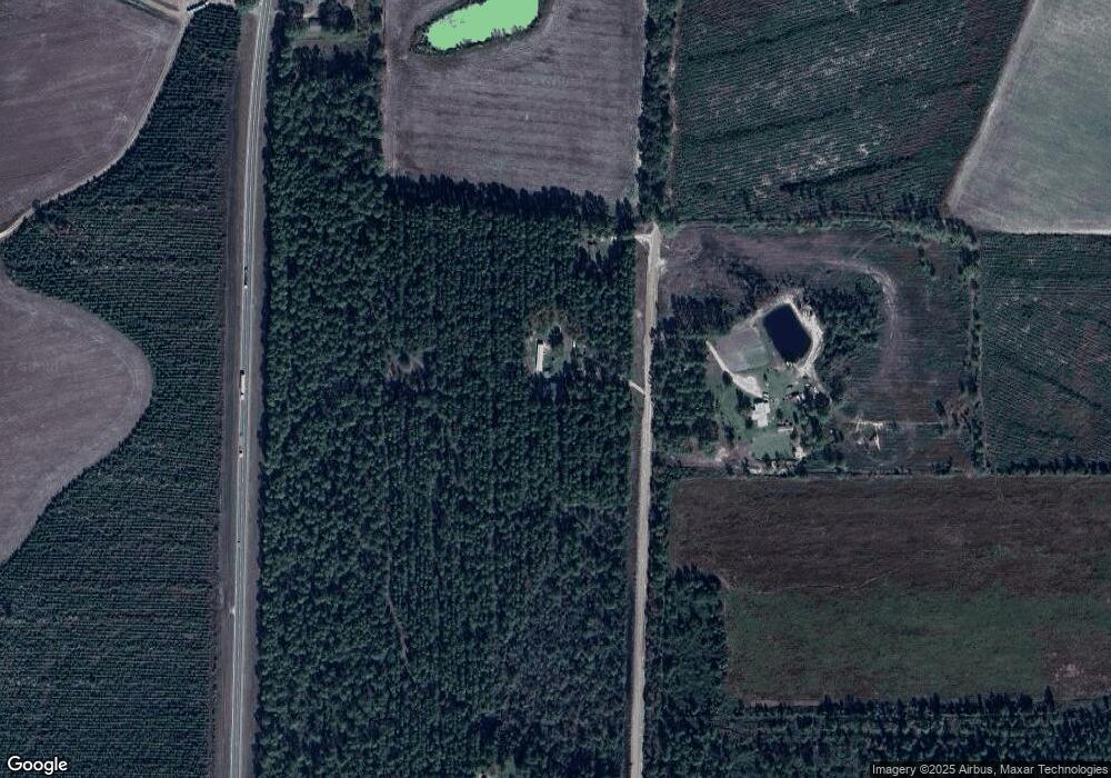
Map
Nearby Homes
- 360 Wildwood Rd
- 5495 Cross Rd
- 00 Lots 5 & 6
- 469 Dub Lewis Rd
- LOTS 5 & 6 N A
- 0 No Assigned Address Unit 10505338
- 00 N A Unit N/A
- 00 N A
- LT 16 Loop Rd
- Lot 16 Loop Rd Unit Other
- 1428 Cross Rd
- 485 Beaver Kreek Rd
- 699 Twin Lakes Dr
- 1010 Clough Blvd
- 180 Clough Blvd
- 60 Franklin Dr
- 2002 Apache Trail
- 279 W H Smith Rd
- 407 Broxton West Green Hwy
- 347 Georgia 107
- 1009 Tony Davis Rd
- 11756 Us Highway 221 N
- 00 Derek Davis Rd
- 177 Derek Davis Rd
- 1675 Bancroft Rd Unit See listin
- 520 Tony Davis Rd
- 180 Cedar Ridge Rd
- 00 Bancroft Rd Unit n/a
- 1609 Bancroft Rd
- 0 Derek Davis Rd Unit 8136693
- 1385 Bancroft Rd
- 10940 Us Highway 221 N
- 1375 Bancroft Rd
- 10939 Us Highway 221 N
- 471 Cedar Ridge Rd
- 10889 Us Highway 221 N
- 80 Cedar Ridge Rd
- 80 Cedar Ridge Rd
- 630 Cedar Ridge Rd
- 1129 Bancroft Rd