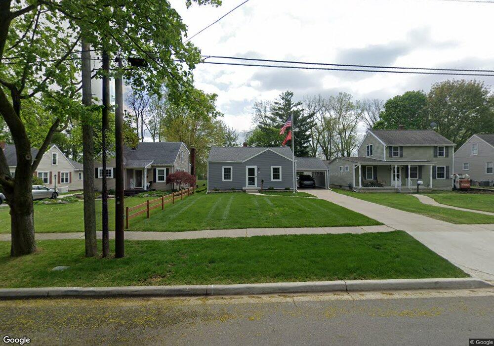
921 Vine St Adrian, MI 49221
Estimated Value: $203,000 - $240,000
--
Bed
1
Bath
1,545
Sq Ft
$141/Sq Ft
Est. Value
About This Home
This home is located at 921 Vine St, Adrian, MI 49221 and is currently estimated at $217,790, approximately $140 per square foot. 921 Vine St is a home located in Lenawee County with nearby schools including Adrian High School, Berean Baptist Academy, and St. Stephen Lutheran School.
Ownership History
Date
Name
Owned For
Owner Type
Purchase Details
Closed on
Jul 30, 2012
Sold by
Donovan Shaun
Bought by
Toner David M
Current Estimated Value
Purchase Details
Closed on
Dec 15, 2011
Sold by
Brown Scott C and Brown Sarah S
Bought by
Wells Fargo Bank N A
Purchase Details
Closed on
Dec 14, 2005
Sold by
Moorehead Harold E and Moorehead Johnnie G
Bought by
Brown Scott C and Brown Sarah S
Home Financials for this Owner
Home Financials are based on the most recent Mortgage that was taken out on this home.
Original Mortgage
$110,127
Interest Rate
6.48%
Mortgage Type
FHA
Create a Home Valuation Report for This Property
The Home Valuation Report is an in-depth analysis detailing your home's value as well as a comparison with similar homes in the area
Home Values in the Area
Average Home Value in this Area
Purchase History
| Date | Buyer | Sale Price | Title Company |
|---|---|---|---|
| Toner David M | $47,000 | None Available | |
| Wells Fargo Bank N A | $114,099 | None Available | |
| Brown Scott C | $113,500 | First American Title |
Source: Public Records
Mortgage History
| Date | Status | Borrower | Loan Amount |
|---|---|---|---|
| Previous Owner | Brown Scott C | $110,127 |
Source: Public Records
Tax History Compared to Growth
Tax History
| Year | Tax Paid | Tax Assessment Tax Assessment Total Assessment is a certain percentage of the fair market value that is determined by local assessors to be the total taxable value of land and additions on the property. | Land | Improvement |
|---|---|---|---|---|
| 2025 | $242 | $91,300 | $0 | $0 |
| 2024 | $242 | $85,700 | $0 | $0 |
| 2023 | $485 | $0 | $0 | $0 |
| 2022 | $227 | $0 | $0 | $0 |
| 2021 | $2,185 | $0 | $0 | $0 |
| 2020 | $2,185 | $62,800 | $0 | $0 |
| 2019 | $141,017 | $0 | -- | -- |
| 2018 | $2,112 | $69,606 | $0 | $0 |
| 2017 | $0 | $55,728 | $0 | $0 |
| 2016 | $0 | $46,557 | $0 | $0 |
| 2014 | -- | $0 | $0 | $0 |
Source: Public Records
Map
Nearby Homes
- 962 Vine St
- 842 Burr St
- 1035 Scottdale Dr
- 903 Michigan Ave
- 421 S Madison St
- 301 Ohio River Dr Unit LOT 52
- 1136 Michigan Ave
- 301 Hidden River Dr
- 705 College Ave
- 446 Allis St
- 2000 W Beecher St
- 416 Allis St
- 415 W Beecher St
- 3520 Crestone Way
- 143 Park St
- 914 W Maumee St
- 227 Jordan St
- 146 Budlong St
- 422 S Winter St
- 1144 W Maumee St