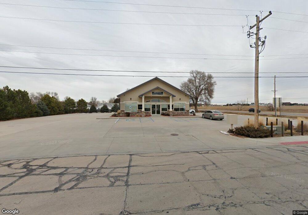
921 W 36th St Unit OFFICE BUILDING Scottsbluff, NE 69361
--
Bed
--
Bath
2,745
Sq Ft
0.72
Acres
About This Home
This home is located at 921 W 36th St Unit OFFICE BUILDING, Scottsbluff, NE 69361. 921 W 36th St Unit OFFICE BUILDING is a home located in Scotts Bluff County with nearby schools including Lincoln Heights Elementary School, Bluffs Middle School, and Scottsbluff Senior High School.
Ownership History
Date
Name
Owned For
Owner Type
Purchase Details
Closed on
Sep 19, 2011
Sold by
Chan Steven Q and Chan Kam G
Bought by
Tansides Llc
Purchase Details
Closed on
Jun 29, 2005
Sold by
Saucedo Andres and Urdiakes Pete
Bought by
Kwan Jone C and Chan Kam
Home Financials for this Owner
Home Financials are based on the most recent Mortgage that was taken out on this home.
Original Mortgage
$50,000
Interest Rate
5.67%
Mortgage Type
Unknown
Create a Home Valuation Report for This Property
The Home Valuation Report is an in-depth analysis detailing your home's value as well as a comparison with similar homes in the area
Home Values in the Area
Average Home Value in this Area
Purchase History
| Date | Buyer | Sale Price | Title Company |
|---|---|---|---|
| Tansides Llc | $105,000 | None Available | |
| Kwan Jone C | $10,000 | -- |
Source: Public Records
Mortgage History
| Date | Status | Borrower | Loan Amount |
|---|---|---|---|
| Previous Owner | Kwan Jone C | $50,000 |
Source: Public Records
Tax History Compared to Growth
Tax History
| Year | Tax Paid | Tax Assessment Tax Assessment Total Assessment is a certain percentage of the fair market value that is determined by local assessors to be the total taxable value of land and additions on the property. | Land | Improvement |
|---|---|---|---|---|
| 2024 | $4,876 | $393,950 | $159,950 | $234,000 |
| 2023 | $7,821 | $386,226 | $156,816 | $229,410 |
| 2022 | $7,821 | $386,226 | $156,816 | $229,410 |
| 2021 | $7,939 | $386,226 | $156,816 | $229,410 |
| 2020 | $5,806 | $280,773 | $51,363 | $229,410 |
| 2019 | $5,798 | $280,773 | $51,363 | $229,410 |
| 2018 | $7,374 | $280,773 | $51,363 | $229,410 |
| 2017 | $7,436 | $356,626 | $156,816 | $199,810 |
| 2016 | $7,179 | $343,952 | $49,745 | $294,207 |
| 2015 | $7,126 | $343,952 | $49,745 | $294,207 |
| 2014 | $6,665 | $343,952 | $49,745 | $294,207 |
| 2012 | -- | $343,952 | $49,745 | $294,207 |
Source: Public Records
Map
Nearby Homes
- TBD W 36th St
- 0 W 36th St Unit 20254154
- 806 W 36th St
- 10 Stoney Creek Dr
- 414 W 33rd St
- 3017 Avenue F
- 2918 Avenue F
- 3415 Ross Ave
- 2809 Avenue D
- Lot 1 31st St
- Lot 2 31st St
- TBD U S Highway 26
- 2401 Avenue E
- 3428 Cary Ct
- 4301 Shady Ln
- 2417 Avenue A
- 2124 Avenue D
- 2113 Avenue O
- 2317 Kingsgate Rd
- TBD Hillcrest Dr
- 921 W 36th St Unit north of maverick
- 3618 Avenue I
- 914 W Adler Dr
- 918 W Adler Dr
- 3710 Avenue I
- 926 W Adler Dr
- 914 W 36th St Unit US 26 AND HIGHWAY 71
- 914 W 36th St
- 1002 W Adler Dr
- 1006 W Adler Dr
- 1012 W 36th St
- 1018 W Adler Dr
- 913 W Adler Dr
- 917 W Adler Dr
- 3810 Avenue I Unit 3810,3812,3814,3818
- 1013 W Adler Dr
- 3824 Avenue I
- 1026 W Adler Dr
- 3832 Avenue I
- 1114 W Adler Dr