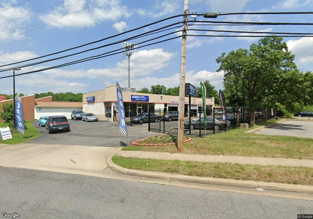
9210 Livingston Rd Fort Washington, MD 20744
Estimated Value: $941,293
--
Bed
--
Bath
4,500
Sq Ft
$209/Sq Ft
Est. Value
About This Home
This home is located at 9210 Livingston Rd, Fort Washington, MD 20744 and is currently estimated at $941,293, approximately $209 per square foot. 9210 Livingston Rd is a home located in Prince George's County with nearby schools including Indian Queen Elementary School, Oxon Hill Middle School, and Oxon Hill High School.
Ownership History
Date
Name
Owned For
Owner Type
Purchase Details
Closed on
Sep 15, 2020
Sold by
Bridgestone Retail Operations Llc
Bought by
9210 Livingston Road Llc
Current Estimated Value
Home Financials for this Owner
Home Financials are based on the most recent Mortgage that was taken out on this home.
Original Mortgage
$600,000
Interest Rate
2.8%
Mortgage Type
New Conventional
Purchase Details
Closed on
Jun 28, 2002
Sold by
Bridgestone Firestone Inc
Bought by
Bfs Retail & Commrcl Oprtns L
Purchase Details
Closed on
Jun 27, 1986
Sold by
Firestone Tire
Bought by
Firestone Real Estate Leasing C
Create a Home Valuation Report for This Property
The Home Valuation Report is an in-depth analysis detailing your home's value as well as a comparison with similar homes in the area
Home Values in the Area
Average Home Value in this Area
Purchase History
| Date | Buyer | Sale Price | Title Company |
|---|---|---|---|
| 9210 Livingston Road Llc | $750,000 | First American Title Ins Co | |
| Bfs Retail & Commrcl Oprtns L | $278,000 | -- | |
| Firestone Real Estate Leasing C | $280,000 | -- |
Source: Public Records
Mortgage History
| Date | Status | Borrower | Loan Amount |
|---|---|---|---|
| Previous Owner | 9210 Livingston Road Llc | $600,000 |
Source: Public Records
Tax History Compared to Growth
Tax History
| Year | Tax Paid | Tax Assessment Tax Assessment Total Assessment is a certain percentage of the fair market value that is determined by local assessors to be the total taxable value of land and additions on the property. | Land | Improvement |
|---|---|---|---|---|
| 2025 | $12,127 | $773,167 | -- | -- |
| 2024 | $12,127 | $750,000 | $465,100 | $284,900 |
| 2023 | $10,865 | $666,667 | $0 | $0 |
| 2022 | $9,627 | $583,333 | $0 | $0 |
| 2021 | $8,389 | $500,000 | $295,300 | $204,700 |
| 2020 | $16,777 | $500,000 | $295,300 | $204,700 |
| 2019 | $8,357 | $583,567 | $0 | $0 |
| 2018 | $9,527 | $576,600 | $295,300 | $281,300 |
| 2017 | $8,502 | $542,133 | $0 | $0 |
| 2016 | -- | $507,667 | $0 | $0 |
| 2015 | $7,770 | $473,200 | $0 | $0 |
| 2014 | $7,770 | $471,533 | $0 | $0 |
Source: Public Records
Map
Nearby Homes
- 921 Palmer Rd
- 9714 Old Fort Rd
- 8768 Grasmere Ct
- 8707 Grasmere Ct
- 8644 Devon Hills Dr
- 1152 Windemere Ct
- 1498 Potomac Heights Dr Unit 140
- 9004 Mill Ct
- 1270 Palmer Rd Unit 92
- 1456 Potomac Heights Dr Unit 145
- 1470 Potomac Heights Dr Unit 126
- 8901 Oxon Hill Rd
- 1532 Potomac Heights Dr Unit 204
- 8706 Devon Hills Dr Unit D
- 8910 Palmer St
- 9824 Old Fort Rd
- 8809 Oxon Hill Rd
- 1704 Dania Dr
- 0 Old Palmer Rd Unit MDPG2181376
- 210 Potomac Ridge Dr
- 9208 Livingston Rd
- 9211 Livingston Rd
- 9200 Livingston Rd
- 9120 Livingston Rd
- 9205 Livingston Rd
- 9300 Livingston Rd
- 9213 Livingston Rd
- 9201 Livingston Rd
- 9217 Livingston Rd
- 9121 Livingston Rd
- 9221 Livingston Rd
- 9308 Livingston Rd
- 9119 Livingston Rd
- 9116 Livingston Rd
- 9315 Livingston Rd
- 9317 Livingston Rd
- 9117 Livingston Rd
- 9400 Livingston Rd
- 9123 Old Palmer Rd
- 9323 Livingston Rd