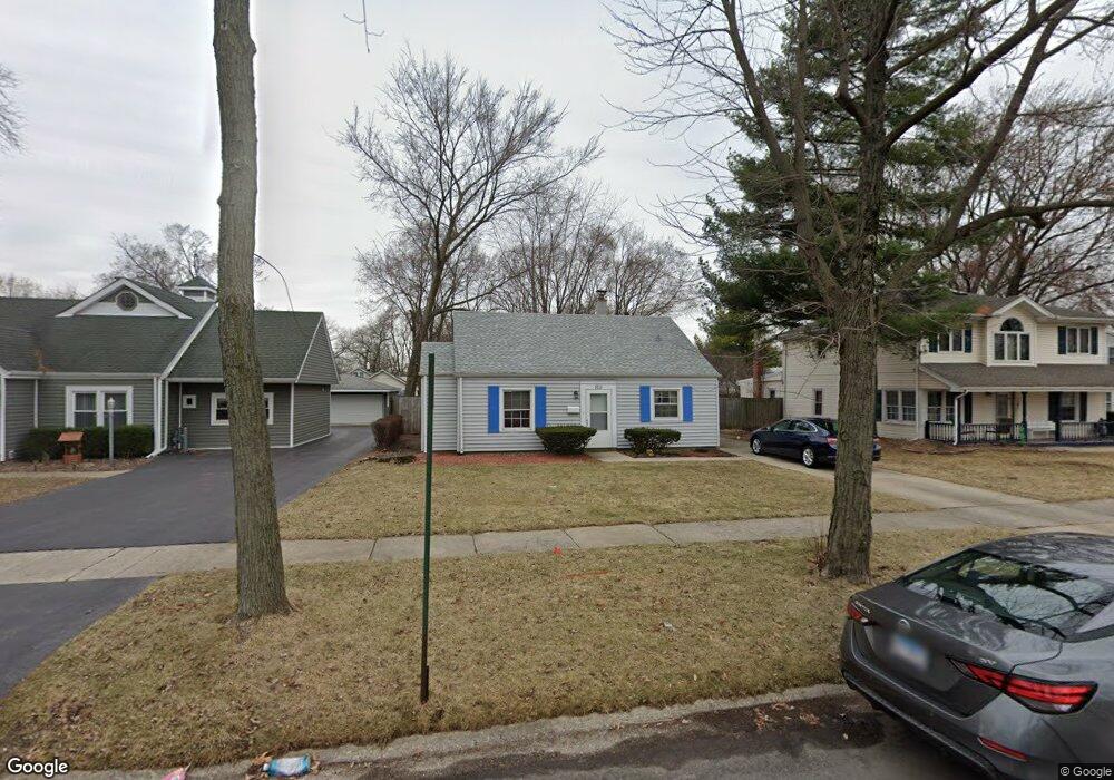
9212 Monitor Ave Oak Lawn, IL 60453
Estimated Value: $265,000 - $300,000
3
Beds
1
Bath
1,282
Sq Ft
$221/Sq Ft
Est. Value
About This Home
This home is located at 9212 Monitor Ave, Oak Lawn, IL 60453 and is currently estimated at $282,688, approximately $220 per square foot. 9212 Monitor Ave is a home located in Cook County with nearby schools including Harnew Elementary School, Simmons Middle School, and Oak Lawn Community High School.
Ownership History
Date
Name
Owned For
Owner Type
Purchase Details
Closed on
Nov 3, 1998
Sold by
Malvick Allan J
Bought by
Jovanovich Peter S
Current Estimated Value
Home Financials for this Owner
Home Financials are based on the most recent Mortgage that was taken out on this home.
Original Mortgage
$74,250
Interest Rate
8.75%
Purchase Details
Closed on
Sep 13, 1994
Sold by
Malvick Stephanie K
Bought by
Malvick Stephanie K and Stephanie K Malvick Trust
Create a Home Valuation Report for This Property
The Home Valuation Report is an in-depth analysis detailing your home's value as well as a comparison with similar homes in the area
Home Values in the Area
Average Home Value in this Area
Purchase History
| Date | Buyer | Sale Price | Title Company |
|---|---|---|---|
| Jovanovich Peter S | $82,500 | -- | |
| Malvick Stephanie K | -- | -- |
Source: Public Records
Mortgage History
| Date | Status | Borrower | Loan Amount |
|---|---|---|---|
| Closed | Jovanovich Peter S | $74,250 |
Source: Public Records
Tax History Compared to Growth
Tax History
| Year | Tax Paid | Tax Assessment Tax Assessment Total Assessment is a certain percentage of the fair market value that is determined by local assessors to be the total taxable value of land and additions on the property. | Land | Improvement |
|---|---|---|---|---|
| 2024 | $5,521 | $19,000 | $5,520 | $13,480 |
| 2023 | $5,424 | $19,000 | $5,520 | $13,480 |
| 2022 | $5,424 | $15,444 | $4,800 | $10,644 |
| 2021 | $5,256 | $15,444 | $4,800 | $10,644 |
| 2020 | $5,150 | $15,444 | $4,800 | $10,644 |
| 2019 | $4,325 | $13,320 | $4,320 | $9,000 |
| 2018 | $4,144 | $13,320 | $4,320 | $9,000 |
| 2017 | $4,203 | $13,320 | $4,320 | $9,000 |
| 2016 | $3,812 | $11,356 | $3,600 | $7,756 |
| 2015 | $3,783 | $11,356 | $3,600 | $7,756 |
| 2014 | $3,750 | $11,356 | $3,600 | $7,756 |
| 2013 | $4,767 | $15,848 | $3,600 | $12,248 |
Source: Public Records
Map
Nearby Homes
- 9100 Lynwood Dr
- 9258 Austin Ave
- 5840 W 90th St
- 9001 Major Ave
- 9520 S Mayfield Ave Unit N105
- 9228 S 55th Ct
- 5831 W 89th St
- 5905 W 89th St
- 9540 S Mayfield Ave Unit 103S
- 9422 Central Ave
- 9239 S 55th Ct
- 9545 Southwest Hwy Unit 5
- 9542 Massasoit Ave
- 5555 W 90th St
- 8952 S 55th Ct
- 9609 S Austin Ave Unit 1E
- 9542 Parkside Ave
- 8803 Austin Ave
- 6237 W 94th St Unit 3S
- 8848 Meade Ave
- 9208 Monitor Ave
- 9216 Monitor Ave
- 9204 Monitor Ave
- 9220 Monitor Ave
- 9213 Mayfield Ave
- 9209 Mayfield Ave
- 9217 Mayfield Ave
- 9200 Monitor Ave
- 9224 Monitor Ave
- 9205 Mayfield Ave
- 9221 Mayfield Ave
- 9213 Monitor Ave
- 9209 Monitor Ave
- 9217 Monitor Ave
- 9201 Mayfield Ave
- 9205 Monitor Ave
- 9228 Monitor Ave
- 9221 Monitor Ave
- 9225 Mayfield Ave