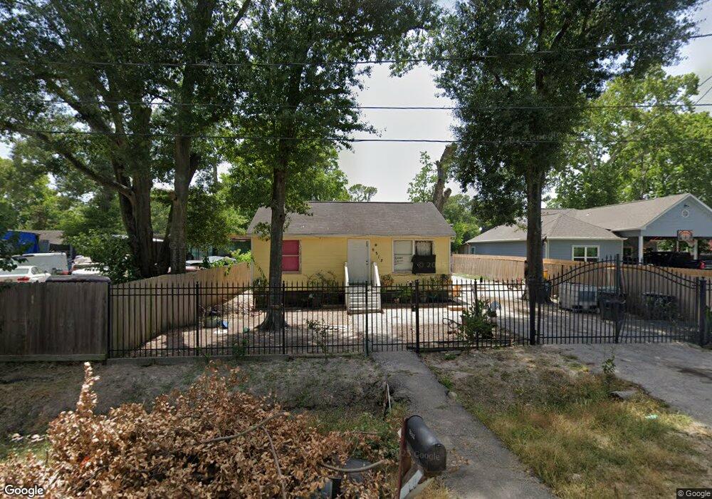
9213 Sandle St Houston, TX 77088
Acres Homes NeighborhoodEstimated Value: $165,319 - $196,000
2
Beds
1
Bath
768
Sq Ft
$236/Sq Ft
Est. Value
About This Home
This home is located at 9213 Sandle St, Houston, TX 77088 and is currently estimated at $181,330, approximately $236 per square foot. 9213 Sandle St is a home located in Harris County with nearby schools including Reece Academy, Anderson Academy, and Houston Academy.
Ownership History
Date
Name
Owned For
Owner Type
Purchase Details
Closed on
Jul 21, 2016
Sold by
Martinez Carlos and Martinez Gloria
Bought by
Caliber Home Loans Inc
Current Estimated Value
Home Financials for this Owner
Home Financials are based on the most recent Mortgage that was taken out on this home.
Original Mortgage
$69,291
Outstanding Balance
$56,257
Interest Rate
4.12%
Mortgage Type
FHA
Estimated Equity
$125,073
Purchase Details
Closed on
Feb 5, 2004
Sold by
Davila Antonio and Davila Esther
Bought by
Martinez Carlos and Martinez Gloria
Create a Home Valuation Report for This Property
The Home Valuation Report is an in-depth analysis detailing your home's value as well as a comparison with similar homes in the area
Home Values in the Area
Average Home Value in this Area
Purchase History
| Date | Buyer | Sale Price | Title Company |
|---|---|---|---|
| Caliber Home Loans Inc | -- | None Available | |
| Martinez Carlos | -- | -- |
Source: Public Records
Mortgage History
| Date | Status | Borrower | Loan Amount |
|---|---|---|---|
| Open | Caliber Home Loans Inc | $69,291 |
Source: Public Records
Tax History Compared to Growth
Tax History
| Year | Tax Paid | Tax Assessment Tax Assessment Total Assessment is a certain percentage of the fair market value that is determined by local assessors to be the total taxable value of land and additions on the property. | Land | Improvement |
|---|---|---|---|---|
| 2025 | $1,719 | $171,813 | $75,537 | $96,276 |
| 2024 | $1,719 | $151,780 | $78,656 | $73,124 |
| 2023 | $1,719 | $162,315 | $66,528 | $95,787 |
| 2022 | $2,681 | $126,466 | $48,510 | $77,956 |
| 2021 | $2,553 | $105,169 | $34,650 | $70,519 |
| 2020 | $2,438 | $98,633 | $27,720 | $70,913 |
| 2019 | $2,204 | $79,655 | $19,058 | $60,597 |
| 2018 | $1,118 | $77,871 | $13,860 | $64,011 |
| 2017 | $2,066 | $77,871 | $13,860 | $64,011 |
| 2016 | $1,849 | $69,715 | $12,474 | $57,241 |
| 2015 | $1,122 | $54,399 | $10,742 | $43,657 |
| 2014 | $1,122 | $42,178 | $10,742 | $31,436 |
Source: Public Records
Map
Nearby Homes
- 1821 Ferguson Way
- 7817 Beckley St Unit A/B
- 9305 Tower St
- 01 Henrietta St
- 1804 Esther Dr
- 0 Henrietta St
- 000 Tower St
- 0 Tower St Unit 31745801
- 0 Tower St Unit 35683152
- 00 W Montgomery Rd
- 1719 Esther Dr Unit AB
- 9111 Highland Northern Way St
- 9113 Highland Northern Way St
- 2021 Ferguson Way
- 1479 Ferguson Way
- 1477 Ferguson Way
- 1475 Ferguson Way
- 8017 Phillips St
- 1470 Ferguson Way
- 1464 Ferguson Way
- 9215 Sandle St
- 9211 Sandle St
- 1841 Ferguson Way
- 1833 Ferguson Way
- 1829 Ferguson Way
- 8413 Beckley St
- 8819 Beckley St
- 1832 Ferguson Way
- 1840 Ferguson Way
- 1801 Ferguson Way
- 1903 Ferguson Way
- 1846 Ferguson Way
- 1826 Ferguson Way
- 7817 Beckley St
- 9430 Beckley St
- 8018 Beckley St
- 34 &35 Beckley St
- 0000 Beckley St
- TBD Tower St
- 1810 Ferguson Way