9214 122nd St E Anderson Island, WA 98303
Estimated Value: $15,503 - $357,000
--
Bed
--
Bath
--
Sq Ft
8,407
Sq Ft Lot
About This Home
This home is located at 9214 122nd St E, Anderson Island, WA 98303 and is currently estimated at $129,834. 9214 122nd St E is a home located in Pierce County with nearby schools including Anderson Island Elementary School, Pioneer Middle School, and Steilacoom High School.
Ownership History
Date
Name
Owned For
Owner Type
Purchase Details
Closed on
Sep 14, 2021
Sold by
Peterson Eric
Bought by
Williams Darnell
Current Estimated Value
Purchase Details
Closed on
Mar 23, 2015
Sold by
Middleton Jason G
Bought by
Petersen Eric
Purchase Details
Closed on
Jul 6, 1999
Sold by
Foppiano Johnson Llc
Bought by
Middleton Jason
Purchase Details
Closed on
May 29, 1997
Sold by
Herd Frank
Bought by
Foppiano Johnson Llc
Purchase Details
Closed on
Jun 26, 1995
Sold by
Scott Robert L and Scott Anne M
Bought by
Herd Frank
Create a Home Valuation Report for This Property
The Home Valuation Report is an in-depth analysis detailing your home's value as well as a comparison with similar homes in the area
Home Values in the Area
Average Home Value in this Area
Purchase History
| Date | Buyer | Sale Price | Title Company |
|---|---|---|---|
| Williams Darnell | $8,000 | Rainier Title | |
| Petersen Eric | -- | None Available | |
| Middleton Jason | $4,900 | Chicago Title | |
| Foppiano Johnson Llc | $4,500 | Chicago Title | |
| Herd Frank | $3,500 | -- |
Source: Public Records
Tax History Compared to Growth
Tax History
| Year | Tax Paid | Tax Assessment Tax Assessment Total Assessment is a certain percentage of the fair market value that is determined by local assessors to be the total taxable value of land and additions on the property. | Land | Improvement |
|---|---|---|---|---|
| 2025 | $150 | $12,500 | $12,500 | -- |
| 2024 | $150 | $13,600 | $13,600 | -- |
| 2023 | $150 | $13,600 | $13,600 | $0 |
| 2022 | $76 | $12,900 | $12,900 | $0 |
| 2021 | $60 | $4,000 | $4,000 | $0 |
| 2019 | $56 | $3,300 | $3,300 | $0 |
| 2018 | $48 | $3,700 | $3,700 | $0 |
| 2017 | $48 | $2,800 | $2,800 | $0 |
| 2016 | $63 | $3,200 | $3,200 | $0 |
| 2014 | $83 | $4,000 | $4,000 | $0 |
| 2013 | $83 | $4,700 | $4,700 | $0 |
Source: Public Records
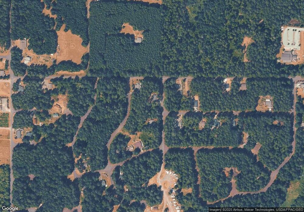
Map
Nearby Homes
- 9310 123rd Ave
- 12123 Sunset Place
- 12408 93rd St
- 9223 Kootenai Dr
- 12606 Silver Dr
- 8912 126th Avenue Ct
- 8811 127th Avenue Ct
- 12727 96th Street Ct
- 12726 96th Street Ct
- 12611 Silver Dr
- 9705 117th Ave
- 8615 Eckenstam Johnson Rd
- 11316 Breaker Way
- 9118 130th Avenue Ct
- 10115 Edgewood Dr
- 10213 Edgewood Dr
- 8510 112th Ave
- 8406 112th Ave
- 11809 105th Street Ct Unit AI
- 10412 Edgewood Dr
- 9214 122nd Ave
- 9304 122nd Ave
- 9210 122nd Ave
- 9213 123rd Ave
- 9310 122nd Ave Unit AI
- 0 122nd Ave Unit 1233870
- 12210 Yoman Rd Unit AI
- 12114 Yoman Rd
- 12121 Sunset Place Unit AI
- 12120 Sunset Place Unit AI
- 12110 Yoman Rd Unit AI
- 12120 Sunset Place
- 12203 Wapato Rd
- 12115 Sunset Place
- 9302 123rd Ai Ave
- 12116 Sunset Place
- 12106 Yoman Rd
- 12211 Wapato Rd Unit AI
- 12111 Sunset Place
- 9306 123rd Ave