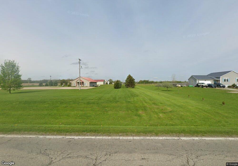
9214 S Francis Rd Dewitt, MI 48820
Estimated Value: $200,787 - $219,000
--
Bed
1
Bath
--
Sq Ft
40
Acres
About This Home
This home is located at 9214 S Francis Rd, Dewitt, MI 48820 and is currently estimated at $209,894. 9214 S Francis Rd is a home located in Clinton County with nearby schools including St. Johns High School.
Ownership History
Date
Name
Owned For
Owner Type
Purchase Details
Closed on
Aug 5, 2014
Sold by
Harold Herman Witt Estate and Huhn Judith
Bought by
Dale & Beth Trierweiler Trust and Trierweiler Dale F
Current Estimated Value
Purchase Details
Closed on
Jun 22, 2011
Sold by
Trierweiler Dale F and Trierweiler Beth M
Bought by
Tierweiler Dale F and Trierweiler Beth M
Purchase Details
Closed on
Nov 11, 2010
Sold by
Witt Harold H
Bought by
Trierweiler Dale and Trierweiler Beth
Purchase Details
Closed on
Oct 28, 2010
Sold by
Witt Gerold
Bought by
Witt Harold
Purchase Details
Closed on
Apr 18, 2003
Sold by
Witt Harold
Bought by
Gorman Rhonda
Create a Home Valuation Report for This Property
The Home Valuation Report is an in-depth analysis detailing your home's value as well as a comparison with similar homes in the area
Home Values in the Area
Average Home Value in this Area
Purchase History
| Date | Buyer | Sale Price | Title Company |
|---|---|---|---|
| Dale & Beth Trierweiler Trust | $102,721 | None Available | |
| Tierweiler Dale F | -- | None Available | |
| Trierweiler Dale | -- | None Available | |
| Witt Harold | -- | Midstate Title Agency Llc Ch | |
| Gorman Rhonda | $75,350 | Michigan Title Company |
Source: Public Records
Tax History Compared to Growth
Tax History
| Year | Tax Paid | Tax Assessment Tax Assessment Total Assessment is a certain percentage of the fair market value that is determined by local assessors to be the total taxable value of land and additions on the property. | Land | Improvement |
|---|---|---|---|---|
| 2025 | $909 | $145,400 | $145,400 | $0 |
| 2024 | $373 | $124,400 | $124,400 | $0 |
| 2023 | $354 | $124,400 | $0 | $0 |
| 2022 | $781 | $113,000 | $113,000 | $0 |
| 2021 | $799 | $110,000 | $110,000 | $0 |
| 2020 | $795 | $117,000 | $117,000 | $0 |
| 2019 | $688 | $121,300 | $121,300 | $0 |
| 2018 | $672 | $118,400 | $118,400 | $0 |
| 2017 | -- | $116,400 | $116,400 | $0 |
| 2016 | $651 | $111,600 | $111,600 | $0 |
| 2015 | -- | $119,900 | $0 | $0 |
| 2011 | -- | $113,400 | $0 | $0 |
Source: Public Records
Map
Nearby Homes
- 10349 S Francis Rd
- 10880 S Francis Rd
- 00 W Cutler Rd
- 8555 W Pratt Rd
- 5337 W Chadwick Rd
- 8333 S Wacousta Rd
- 11433 S Francis Rd
- 7897 S Grove Rd
- 4975 W Cutler Rd
- 11603 S Wacousta Rd
- 8546 Church Rd
- 10600 S Airport Rd
- 0000 S Lowell Rd
- 11471 S Bauer Rd
- 6740 W Herbison Rd
- 4270 Calipso Ct
- The Mackinaw Plan at Lakeside Preserve
- The Maxwell Plan at Lakeside Preserve
- The Prescott Plan at Lakeside Preserve
- The Nantucket Plan at Lakeside Preserve
- 9288 S Francis Rd
- 9345 S Francis Rd
- 9380 S Francis Rd
- 8985 S Francis Rd
- 7100 W Lehman Rd
- 7270 W Lehman Rd
- 9520 S Francis Rd
- 9487 S Francis Rd
- 7480 W Lehman Rd
- 9595 S Francis Rd
- 8842 S Francis Rd
- 9600 S Francis Rd
- 9611 S Francis Rd
- 9660 S Francis Rd
- 9659 S Francis Rd
- 8780 S Francis Rd
- 8752 S Francis Rd
- 9717 S Francis Rd
- 9711 S Francis Rd
- 7498 W Lehman Rd