Estimated Value: $371,000 - $524,000
4
Beds
3
Baths
1,759
Sq Ft
$265/Sq Ft
Est. Value
About This Home
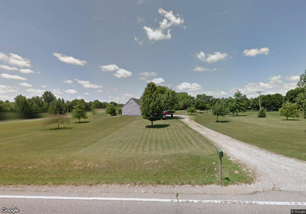
This home is located at 9216 N Platt Rd, Milan, MI 48160 and is currently estimated at $465,597, approximately $264 per square foot. 9216 N Platt Rd is a home located in Washtenaw County with nearby schools including Harvest Elementary School, Heritage School, and Saline Middle School.
Ownership History
Date
Name
Owned For
Owner Type
Purchase Details
Closed on
Jul 13, 2021
Sold by
Hasselbach Donald F and Hasselbach Pamela K
Bought by
Hasselbach Donald F and Hasselbach Pamela K
Current Estimated Value
Purchase Details
Closed on
Sep 1, 1995
Sold by
Peterson Alan V
Bought by
Hasselbach Donald F and Hasselbach Pamela K
Home Financials for this Owner
Home Financials are based on the most recent Mortgage that was taken out on this home.
Original Mortgage
$131,500
Interest Rate
7.81%
Mortgage Type
New Conventional
Create a Home Valuation Report for This Property
The Home Valuation Report is an in-depth analysis detailing your home's value as well as a comparison with similar homes in the area
Home Values in the Area
Average Home Value in this Area
Purchase History
| Date | Buyer | Sale Price | Title Company |
|---|---|---|---|
| Hasselbach Donald F | -- | None Available | |
| Hasselbach Donald F | $164,450 | -- |
Source: Public Records
Mortgage History
| Date | Status | Borrower | Loan Amount |
|---|---|---|---|
| Closed | Hasselbach Donald F | $131,500 |
Source: Public Records
Tax History Compared to Growth
Tax History
| Year | Tax Paid | Tax Assessment Tax Assessment Total Assessment is a certain percentage of the fair market value that is determined by local assessors to be the total taxable value of land and additions on the property. | Land | Improvement |
|---|---|---|---|---|
| 2025 | $4,311 | $208,000 | $0 | $0 |
| 2024 | $3,705 | $189,500 | $0 | $0 |
| 2023 | $3,535 | $175,700 | $0 | $0 |
| 2022 | $4,174 | $164,000 | $0 | $0 |
| 2021 | $3,796 | $149,400 | $0 | $0 |
| 2020 | $3,748 | $148,100 | $0 | $0 |
| 2019 | $3,651 | $140,600 | $140,600 | $0 |
| 2018 | $3,577 | $133,600 | $0 | $0 |
| 2017 | $3,416 | $130,900 | $0 | $0 |
| 2016 | $2,868 | $100,500 | $0 | $0 |
| 2015 | -- | $100,200 | $0 | $0 |
| 2014 | -- | $97,200 | $0 | $0 |
| 2013 | -- | $97,200 | $0 | $0 |
Source: Public Records
Map
Nearby Homes
- 9037 Rogers Dr
- 9069 Emerson Dr
- 9006 Carter Dr
- 201 Judd Rd
- 60 Timber Ridge Ct
- 8450 Carpenter Rd
- 10160 Ridgeline Dr
- 290 Shelby Ct Unit 6
- 9935 White Tail Dr
- 9931 White Tail Dr
- 0 Crane Unit 25051778
- 3833 Pat St
- 3811 Pat St
- 6081 Lincolnshire Dr
- 762 Sutton Ct
- 4657 Schmitt Ct
- 758 Sutton Ct
- 754 Sutton Ct
- Decker Plan at Fosdick Glen of Saline - Toll Brothers at Fosdick Glen
- The Yorkshire Plan at Fosdick Glen of Saline - Fosdick Glen Of Saline
- 9240 N Platt Rd Unit 2
- 9188 N Platt Rd
- 9168 N Platt Rd
- 9264 N Platt Rd
- 9164 N Platt Rd
- 9280 N Platt Rd
- 9298 N Platt Rd
- 9108 N Platt Rd
- 9092 N Platt Rd
- 9320 N Platt Rd
- 9225 Platt Rd
- 550 E Willis Rd
- 608 E Willis Rd
- 3020 E Willis Rd
- 9424 N Platt Rd
- 500 E Willis Rd
- 584 E Willis Rd
- 472 E Willis Rd
- 3090 E Willis Rd
- 9384 N Platt Rd