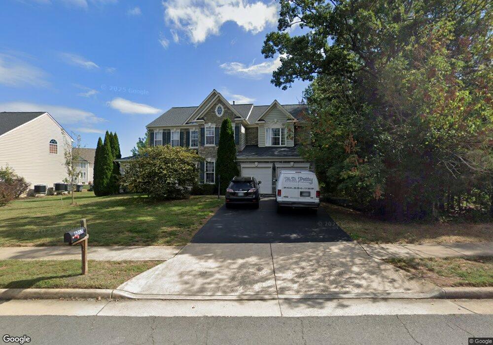
9217 Ashleys Park Ln Bristow, VA 20136
Estimated Value: $927,287 - $987,000
6
Beds
5
Baths
3,598
Sq Ft
$266/Sq Ft
Est. Value
About This Home
This home is located at 9217 Ashleys Park Ln, Bristow, VA 20136 and is currently estimated at $957,572, approximately $266 per square foot. 9217 Ashleys Park Ln is a home located in Prince William County with nearby schools including Bristow Run Elementary School, Patriot High School, and E.H. Marsteller Middle School.
Ownership History
Date
Name
Owned For
Owner Type
Purchase Details
Closed on
Feb 23, 2006
Sold by
Richmond American Homes
Bought by
Shah Neha
Current Estimated Value
Home Financials for this Owner
Home Financials are based on the most recent Mortgage that was taken out on this home.
Original Mortgage
$610,450
Outstanding Balance
$343,048
Interest Rate
6.17%
Mortgage Type
New Conventional
Estimated Equity
$614,524
Create a Home Valuation Report for This Property
The Home Valuation Report is an in-depth analysis detailing your home's value as well as a comparison with similar homes in the area
Purchase History
| Date | Buyer | Sale Price | Title Company |
|---|---|---|---|
| Shah Neha | $763,065 | -- |
Source: Public Records
Mortgage History
| Date | Status | Borrower | Loan Amount |
|---|---|---|---|
| Open | Shah Neha | $610,450 |
Source: Public Records
Tax History
| Year | Tax Paid | Tax Assessment Tax Assessment Total Assessment is a certain percentage of the fair market value that is determined by local assessors to be the total taxable value of land and additions on the property. | Land | Improvement |
|---|---|---|---|---|
| 2025 | $7,555 | $845,000 | $202,100 | $642,900 |
| 2024 | $7,555 | $759,700 | $188,100 | $571,600 |
| 2023 | $7,662 | $736,400 | $183,000 | $553,400 |
| 2022 | $7,264 | $645,600 | $158,800 | $486,800 |
| 2021 | $7,037 | $578,500 | $143,200 | $435,300 |
| 2020 | $8,613 | $555,700 | $141,200 | $414,500 |
| 2019 | $8,184 | $528,000 | $136,400 | $391,600 |
| 2018 | $5,937 | $491,700 | $133,000 | $358,700 |
| 2017 | $5,893 | $479,300 | $129,800 | $349,500 |
| 2016 | $5,768 | $473,500 | $127,900 | $345,600 |
| 2015 | $5,213 | $464,500 | $125,600 | $338,900 |
| 2014 | $5,213 | $418,000 | $111,500 | $306,500 |
Source: Public Records
Map
Nearby Homes
- 9141 Autumn Glory Ln
- 9325 Rustic Breeze Ct
- 12711 Maple Branch Ln
- 12709 Crossman Creek Way
- 12908 Ness Hollow Ct
- 9467 Merrimont Trace Cir
- 12504 Cavalier Forest Ct
- 9140 Big Springs Loop
- 13290 Lawrence Ln
- 12513 Chippenham Ct
- 12984 Dunbarton Dr
- 12974 Dunbarton Dr
- 9361 Weathersfield Dr
- 9684 Craighill Dr
- 9709 Seafield Place
- 8780 Dunstable Loop
- 9713 Lennice Way
- 12675 Rushing Creek Ct
- 13153 Sapphire Ridge Place
- 9513 Moonen Bay Ln
- 9213 Ashleys Park Ln
- 9218 Campfire Ct
- 9072 Acadia Park Dr
- 9068 Acadia Park Dr
- 9216 Ashleys Park Ln
- 9220 Campfire Ct
- 9209 Ashleys Park Ln
- 9066 Acadia Park Dr
- 9076 Acadia Park Dr
- 9212 Ashleys Park Ln
- 9214 Campfire Ct
- 9064 Acadia Park Dr
- 9222 Campfire Ct
- 9204 Ashleys Park Ln
- 9080 Acadia Park Dr
- 12778 Crossman Creek Way
- 9060 Acadia Park Dr
- 9205 Ashleys Park Ln
- 9220 Ashleys Park Ln
- 9073 Acadia Park Dr
Your Personal Tour Guide
Ask me questions while you tour the home.