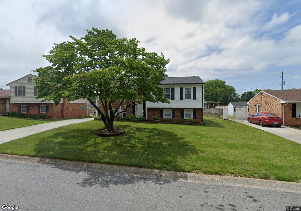
922 Anchor Dr Roanoke, VA 24012
Estimated Value: $268,000 - $295,000
4
Beds
2
Baths
1,924
Sq Ft
$146/Sq Ft
Est. Value
About This Home
This home is located at 922 Anchor Dr, Roanoke, VA 24012 and is currently estimated at $281,296, approximately $146 per square foot. 922 Anchor Dr is a home located in Roanoke County with nearby schools including Burlington Elementary School, Northside Middle School, and Northside High School.
Ownership History
Date
Name
Owned For
Owner Type
Purchase Details
Closed on
Dec 9, 2025
Sold by
Buchanan Marjorie T
Bought by
Buchanan Robert F and Buchanan Olivia J
Current Estimated Value
Home Financials for this Owner
Home Financials are based on the most recent Mortgage that was taken out on this home.
Original Mortgage
$180,000
Outstanding Balance
$179,830
Interest Rate
6.26%
Mortgage Type
New Conventional
Estimated Equity
$101,466
Create a Home Valuation Report for This Property
The Home Valuation Report is an in-depth analysis detailing your home's value as well as a comparison with similar homes in the area
Purchase History
| Date | Buyer | Sale Price | Title Company |
|---|---|---|---|
| Buchanan Robert F | $270,000 | Fidelity National Title |
Source: Public Records
Mortgage History
| Date | Status | Borrower | Loan Amount |
|---|---|---|---|
| Open | Buchanan Robert F | $180,000 |
Source: Public Records
Tax History
| Year | Tax Paid | Tax Assessment Tax Assessment Total Assessment is a certain percentage of the fair market value that is determined by local assessors to be the total taxable value of land and additions on the property. | Land | Improvement |
|---|---|---|---|---|
| 2025 | $2,374 | $230,500 | $45,000 | $185,500 |
| 2024 | $2,191 | $210,700 | $40,000 | $170,700 |
| 2023 | $2,101 | $198,200 | $40,000 | $158,200 |
| 2022 | $1,842 | $169,000 | $35,000 | $134,000 |
| 2021 | $1,690 | $155,000 | $32,000 | $123,000 |
| 2020 | $1,607 | $147,400 | $29,000 | $118,400 |
| 2019 | $1,521 | $139,500 | $29,000 | $110,500 |
| 2018 | $1,437 | $137,200 | $29,000 | $108,200 |
| 2017 | $1,437 | $131,800 | $29,000 | $102,800 |
| 2016 | $1,408 | $129,200 | $29,000 | $100,200 |
| 2015 | $1,395 | $128,000 | $29,000 | $99,000 |
| 2014 | $1,422 | $130,500 | $30,000 | $100,500 |
Source: Public Records
Map
Nearby Homes
- 5809 Sierra Dr
- 5952 Sierra Dr
- 1025 Grove Ln
- 934 Commander Dr
- 5515 Littleton Rd
- O Airport Rd NW
- 157 Clubhouse Dr
- 6623 Jojo Ln
- 6633 Jojo Ln
- 6643 Jojo Ln
- 6653 Jojo Ln
- 6663 Jojo Ln
- 169 Tampa Dr
- 163 Tampa Dr
- 6673 Jojo Ln
- 5001 Hildebrand Rd NW
- 4970 Florist Rd NW
- 4960 Florist Rd NW
- 4935 Hubert Rd NW
- 717 Hershberger Rd NW
- 928 Anchor Dr
- 916 Anchor Dr
- 921 Fairhurst Dr
- 925 Fairhurst Dr
- 908 Anchor Dr
- 5847 Sierra Dr
- 913 Fairhurst Dr
- 5841 Sierra Dr
- 923 Anchor Dr
- 917 Anchor Dr
- 929 Anchor Dr
- 5835 Sierra Dr
- 913 Anchor Dr
- 907 Fairhurst Dr
- 902 Anchor Dr
- 933 Anchor Dr
- 6002 Thornrose Rd
- 922 Fairhurst Dr
- 5829 Sierra Dr
- 901 Fairhurst Dr
Your Personal Tour Guide
Ask me questions while you tour the home.