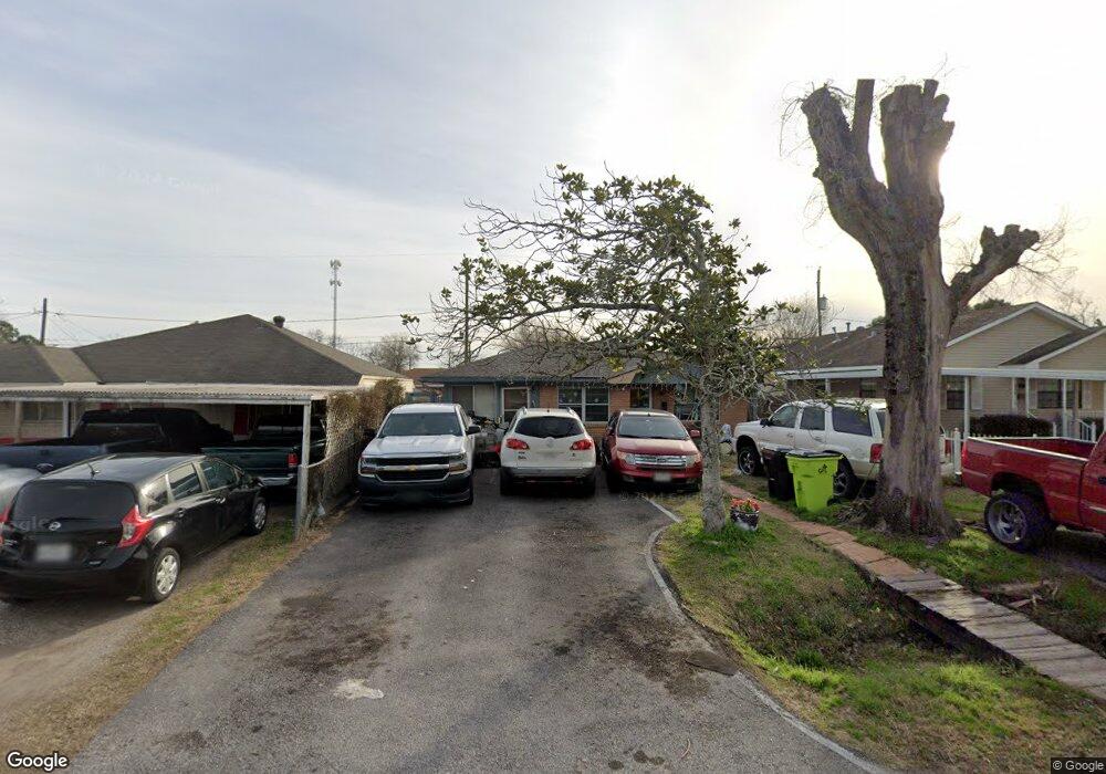
922 Avenue D Rosenberg, TX 77471
Estimated Value: $164,907 - $190,000
2
Beds
1
Bath
1,080
Sq Ft
$165/Sq Ft
Est. Value
About This Home
This home is located at 922 Avenue D, Rosenberg, TX 77471 and is currently estimated at $177,977, approximately $164 per square foot. 922 Avenue D is a home located in Fort Bend County with nearby schools including Travis Elementary School, Henry Wertheimer Middle School, and Briscoe Junior High School.
Ownership History
Date
Name
Owned For
Owner Type
Purchase Details
Closed on
Jun 4, 2004
Sold by
Kornblit Suzanne F
Bought by
Ramirez Ismael
Current Estimated Value
Home Financials for this Owner
Home Financials are based on the most recent Mortgage that was taken out on this home.
Original Mortgage
$68,294
Outstanding Balance
$34,099
Interest Rate
6.32%
Mortgage Type
FHA
Estimated Equity
$143,878
Purchase Details
Closed on
Feb 17, 2003
Sold by
Thomas Almeria and Thomas Jimmy
Bought by
Ramirez Ismael
Create a Home Valuation Report for This Property
The Home Valuation Report is an in-depth analysis detailing your home's value as well as a comparison with similar homes in the area
Home Values in the Area
Average Home Value in this Area
Purchase History
| Date | Buyer | Sale Price | Title Company |
|---|---|---|---|
| Ramirez Ismael | -- | Southern American Title | |
| Ramirez Ismael | -- | -- |
Source: Public Records
Mortgage History
| Date | Status | Borrower | Loan Amount |
|---|---|---|---|
| Open | Ramirez Ismael | $68,294 |
Source: Public Records
Tax History Compared to Growth
Tax History
| Year | Tax Paid | Tax Assessment Tax Assessment Total Assessment is a certain percentage of the fair market value that is determined by local assessors to be the total taxable value of land and additions on the property. | Land | Improvement |
|---|---|---|---|---|
| 2025 | $460 | $85,210 | $23,400 | $103,282 |
| 2024 | $460 | $77,464 | -- | $126,233 |
| 2023 | $440 | $70,422 | $0 | $129,301 |
| 2022 | $711 | $64,020 | $0 | $99,350 |
| 2021 | $1,208 | $58,200 | $17,820 | $40,380 |
| 2020 | $1,123 | $52,910 | $17,820 | $35,090 |
| 2019 | $1,099 | $48,100 | $17,820 | $30,280 |
| 2018 | $1,015 | $43,730 | $15,050 | $28,680 |
| 2017 | $996 | $42,680 | $15,050 | $27,630 |
| 2016 | $997 | $42,720 | $15,050 | $27,670 |
| 2015 | $593 | $42,870 | $15,050 | $27,820 |
| 2014 | $724 | $42,040 | $15,050 | $26,990 |
Source: Public Records
Map
Nearby Homes
- 915 Avenue E
- 735 Willow St
- 503 Willow St
- 428 West St
- 1210 Avenue E
- 1605 Walnut Ave
- 1112 James St
- 805 Avenue J
- 1113 Frost St
- 00000 Baker Rd
- 3326 Tilley Dr
- 413 2nd St
- 401 2nd St
- 1220 Mulcahy St
- 613 Baker Rd
- 2519 Good Morrow Dr
- 5534 Handlewood Ln
- 2606 Good Morrow Dr
- 2630 Wastelbread Ln
- 2619 Wastelbread Ln