922 Drift Rd Unit B Westport, MA 02790
Booth/Handy Four Corners NeighborhoodEstimated Value: $1,779,000 - $2,257,000
3
Beds
--
Bath
5,454
Sq Ft
$372/Sq Ft
Est. Value
About This Home
This home is located at 922 Drift Rd Unit B, Westport, MA 02790 and is currently estimated at $2,031,200, approximately $372 per square foot. 922 Drift Rd Unit B is a home located in Bristol County with nearby schools including Alice A. Macomber Primary School, Westport Elementary School, and Westport Middle-High School.
Ownership History
Date
Name
Owned For
Owner Type
Purchase Details
Closed on
Aug 22, 2020
Sold by
Daxland-Drift Road Rt
Bought by
Malaro Magie and Malaro Anthony
Current Estimated Value
Home Financials for this Owner
Home Financials are based on the most recent Mortgage that was taken out on this home.
Original Mortgage
$1,080,000
Outstanding Balance
$951,523
Interest Rate
2.64%
Mortgage Type
Purchase Money Mortgage
Estimated Equity
$1,079,677
Purchase Details
Closed on
Apr 11, 2007
Sold by
Daxland Karl G and Daxland Marylou
Bought by
Nstar Electric Co
Create a Home Valuation Report for This Property
The Home Valuation Report is an in-depth analysis detailing your home's value as well as a comparison with similar homes in the area
Home Values in the Area
Average Home Value in this Area
Purchase History
| Date | Buyer | Sale Price | Title Company |
|---|---|---|---|
| Malaro Magie | $1,350,000 | None Available | |
| Nstar Electric Co | -- | -- |
Source: Public Records
Mortgage History
| Date | Status | Borrower | Loan Amount |
|---|---|---|---|
| Open | Malaro Magie | $1,080,000 | |
| Previous Owner | Nstar Electric Co | $405,000 |
Source: Public Records
Tax History Compared to Growth
Tax History
| Year | Tax Paid | Tax Assessment Tax Assessment Total Assessment is a certain percentage of the fair market value that is determined by local assessors to be the total taxable value of land and additions on the property. | Land | Improvement |
|---|---|---|---|---|
| 2025 | $13,286 | $1,783,300 | $602,800 | $1,180,500 |
| 2024 | $13,209 | $1,708,800 | $559,300 | $1,149,500 |
| 2023 | $13,641 | $1,671,700 | $560,700 | $1,111,000 |
| 2022 | $10,370 | $1,222,900 | $560,700 | $662,200 |
| 2021 | $8,261 | $958,400 | $408,600 | $549,800 |
| 2020 | $7,100 | $842,200 | $386,400 | $455,800 |
| 2019 | $6,869 | $830,600 | $380,300 | $450,300 |
| 2018 | $6,828 | $835,700 | $427,700 | $408,000 |
| 2017 | $6,668 | $836,700 | $427,700 | $409,000 |
| 2016 | $6,276 | $793,400 | $427,700 | $365,700 |
| 2015 | $7,005 | $883,300 | $527,700 | $355,600 |
Source: Public Records
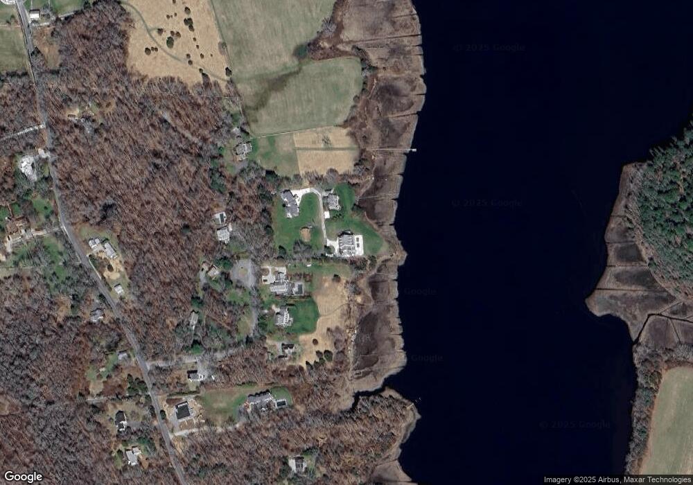
Map
Nearby Homes
- 920 Drift Rd
- 225 Hixbridge Rd
- 837 Main Road & Lot 2
- 837 Main Rd
- 8 Village Way
- 7 Village Way
- 15 Village Way
- 101 Adamsville Rd
- 8 Strawberry Ln
- 118 Charlotte White Rd Extension
- 0 Hidden Glen Ln
- 73 White Oak Run
- 1346 Main Rd Unit B
- 118 Charlotte White Rd
- Lot 0 Marcotte
- 99 Sylvia Ln
- 47 Fallon Dr
- 978 Sodom Rd
- 2 Slades Farm Ln
- 1580 Main Rd