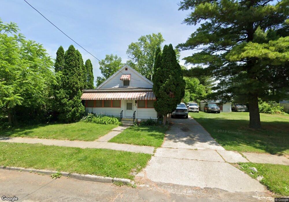
922 Elysian Ave Toledo, OH 43607
Scott Park NeighborhoodEstimated Value: $107,000 - $121,000
2
Beds
1
Bath
1,278
Sq Ft
$89/Sq Ft
Est. Value
About This Home
This home is located at 922 Elysian Ave, Toledo, OH 43607 and is currently estimated at $113,588, approximately $88 per square foot. 922 Elysian Ave is a home located in Lucas County with nearby schools including Keyser Elementary School, Rogers High School, and Toledo Preparatory and Fitness Academy.
Ownership History
Date
Name
Owned For
Owner Type
Purchase Details
Closed on
Nov 20, 2025
Sold by
Yek Estates Llc
Bought by
922 Elysian Ave Llc
Current Estimated Value
Home Financials for this Owner
Home Financials are based on the most recent Mortgage that was taken out on this home.
Original Mortgage
$83,250
Outstanding Balance
$83,090
Interest Rate
6.19%
Mortgage Type
Credit Line Revolving
Estimated Equity
$30,498
Purchase Details
Closed on
Nov 25, 2024
Sold by
Yek Estates and Yek Estates Llc
Bought by
Yek Estates Llc
Home Financials for this Owner
Home Financials are based on the most recent Mortgage that was taken out on this home.
Original Mortgage
$60,667
Interest Rate
6.78%
Mortgage Type
Construction
Purchase Details
Closed on
Sep 24, 2024
Sold by
Sheriff Of Lucas County Ohio
Bought by
Yek Estates
Create a Home Valuation Report for This Property
The Home Valuation Report is an in-depth analysis detailing your home's value as well as a comparison with similar homes in the area
Home Values in the Area
Average Home Value in this Area
Purchase History
| Date | Buyer | Sale Price | Title Company |
|---|---|---|---|
| 922 Elysian Ave Llc | $111,000 | Fidelity National Title | |
| Yek Estates Llc | -- | Fidelity National Title | |
| Yek Estates | $36,667 | None Listed On Document | |
| Yek Estates | $36,667 | None Listed On Document |
Source: Public Records
Mortgage History
| Date | Status | Borrower | Loan Amount |
|---|---|---|---|
| Open | 922 Elysian Ave Llc | $83,250 | |
| Previous Owner | Yek Estates Llc | $60,667 |
Source: Public Records
Tax History
| Year | Tax Paid | Tax Assessment Tax Assessment Total Assessment is a certain percentage of the fair market value that is determined by local assessors to be the total taxable value of land and additions on the property. | Land | Improvement |
|---|---|---|---|---|
| 2025 | -- | $28,525 | $6,860 | $21,665 |
| 2024 | $1,996 | $28,525 | $6,860 | $21,665 |
| 2023 | $1,669 | $23,625 | $3,395 | $20,230 |
| 2022 | $1,677 | $23,625 | $3,395 | $20,230 |
| 2021 | $1,173 | $23,625 | $3,395 | $20,230 |
| 2020 | $1,255 | $22,610 | $3,220 | $19,390 |
| 2019 | $1,206 | $22,610 | $3,220 | $19,390 |
| 2018 | $1,231 | $22,610 | $3,220 | $19,390 |
| 2017 | $1,212 | $22,085 | $3,150 | $18,935 |
| 2016 | $1,242 | $63,100 | $9,000 | $54,100 |
| 2015 | $1,238 | $63,100 | $9,000 | $54,100 |
| 2014 | $765 | $20,900 | $2,940 | $17,960 |
| 2013 | $765 | $20,900 | $2,940 | $17,960 |
Source: Public Records
Map
Nearby Homes
- 914 Turner Ave
- 2925 Avondale Ave
- 834 Broer Ave
- 638 Broer Ave
- 714 Brookley Blvd
- 712 Underwood Ave
- 820 MacKow Dr
- 1408 Roosevelt Ave
- 508 Ascot Ave
- 336 Conrad Ave
- 1125 Secor Rd
- 1011 Alldays Ave
- 615 Cuthbert Rd
- 913 Coventry Ave
- 1814 Alvin St
- 811 N University Ave
- 1901 Alvin St
- 1917 Alvin St
- 710 N Byrne Rd
- 1732 Evansdale Ave
- 926 Elysian Ave
- 916 Elysian Ave
- 930 Elysian Ave
- 912 Elysian Ave
- 1002 Elysian Ave
- 919 Bowlus Ave
- 929 Bowlus Ave
- 910 Elysian Ave
- 921 Elysian Ave
- 1010 Elysian Ave
- 919 Elysian Ave
- 925 Elysian Ave
- 915 Elysian Ave
- 929 Elysian Ave
- 1005 Bowlus Ave
- 1001 Elysian Ave
- 902 Elysian Ave
- 1007 Bowlus Ave
- 907 Elysian Ave
- 1012 Elysian Ave
Your Personal Tour Guide
Ask me questions while you tour the home.