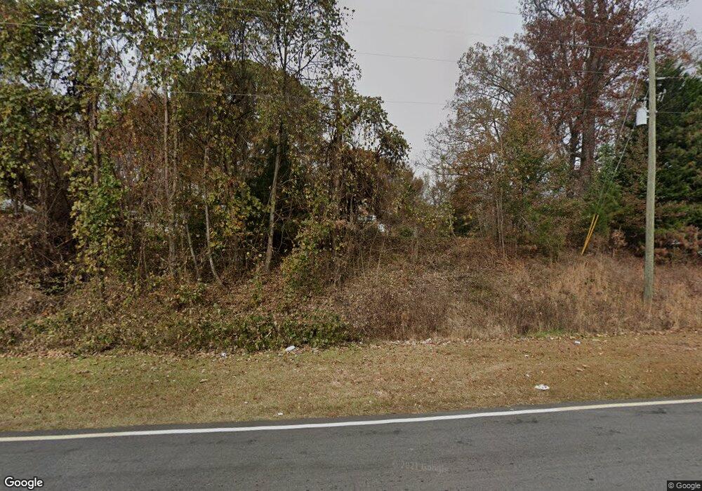
922 Highway 53 E Dawsonville, GA 30534
Estimated Value: $679,750 - $1,099,000
3
Beds
2
Baths
1,812
Sq Ft
$441/Sq Ft
Est. Value
About This Home
This home is located at 922 Highway 53 E, Dawsonville, GA 30534 and is currently estimated at $798,688, approximately $440 per square foot. 922 Highway 53 E is a home located in Dawson County with nearby schools including Robinson Elementary School, Dawson County Junior High School, and Dawson County Middle School.
Ownership History
Date
Name
Owned For
Owner Type
Purchase Details
Closed on
Feb 17, 2025
Sold by
Mitchell Capital Llc
Bought by
Jsw Gee Corner Llc
Current Estimated Value
Purchase Details
Closed on
Nov 8, 2024
Sold by
Jsw Gee Corner Llc
Bought by
Bsfr Two Owner I Lp
Purchase Details
Closed on
Oct 20, 2020
Sold by
Wells Fargo Bank National Association
Bought by
Starlight Homes Georgia Llc
Purchase Details
Closed on
May 15, 2020
Sold by
Mooney Phyllis Gee and Gee Coy Jimmy
Bought by
Jsw Gee Corner Llc
Purchase Details
Closed on
Mar 9, 1987
Bought by
Gee Edith
Create a Home Valuation Report for This Property
The Home Valuation Report is an in-depth analysis detailing your home's value as well as a comparison with similar homes in the area
Home Values in the Area
Average Home Value in this Area
Purchase History
| Date | Buyer | Sale Price | Title Company |
|---|---|---|---|
| Jsw Gee Corner Llc | -- | None Listed On Document | |
| Jsw Gee Corner Llc | -- | None Listed On Document | |
| Bsfr Two Owner I Lp | $1,000,000 | Old Republic National Titile I | |
| Bsfr Two Owner I Lp | $1,000,000 | Old Republic National Titile I | |
| Starlight Homes Georgia Llc | -- | Gwt | |
| Jsw Gee Corner Llc | $500,000 | None Available | |
| Mooney Phyllis | -- | None Available | |
| Gee Edith | $10,000 | -- |
Source: Public Records
Tax History Compared to Growth
Tax History
| Year | Tax Paid | Tax Assessment Tax Assessment Total Assessment is a certain percentage of the fair market value that is determined by local assessors to be the total taxable value of land and additions on the property. | Land | Improvement |
|---|---|---|---|---|
| 2024 | $658 | $230,520 | $86,760 | $143,760 |
| 2023 | $3,749 | $204,040 | $59,760 | $144,280 |
| 2022 | $2,842 | $132,680 | $59,760 | $72,920 |
| 2021 | $2,810 | $124,200 | $59,760 | $64,440 |
| 2020 | $2,560 | $108,200 | $42,600 | $65,600 |
| 2019 | $2,377 | $99,599 | $42,600 | $56,999 |
| 2018 | $2,382 | $99,599 | $42,600 | $56,999 |
| 2017 | $161 | $98,803 | $39,201 | $59,602 |
| 2016 | $153 | $97,819 | $39,201 | $58,618 |
| 2015 | $526 | $78,611 | $20,307 | $58,304 |
| 2014 | $461 | $70,460 | $20,307 | $50,152 |
| 2013 | -- | $64,336 | $20,307 | $44,029 |
Source: Public Records
Map
Nearby Homes
- 901 Highway 53 E
- 00 Perimeter Rd
- 0 Perimeter Rd
- 0 Perimeter Rd Unit 10040509
- 0 Perimeter Rd Unit 7035708
- 0 Perimeter Rd Unit 3192110
- 0 Perimeter Rd Unit 7142024
- 0 Perimeter Rd Unit 7058314
- 0 Perimeter Rd Unit 7584051
- 0 Perimeter Rd Unit 3253359
- 0 Perimeter Rd Unit 3122930
- 0 Perimeter Rd Unit 8978333
- 0 Perimeter Rd Unit 6883580
- 0 Perimeter Rd Unit 8497464
- 0 Perimeter Rd Unit 8513706
- 0 Perimeter Rd Unit 5038274
- 0 Perimeter Rd Unit 8923419
- 0 Perimeter Rd Unit 3169979
- 0 Perimeter Rd Unit 7146125
- 0 Perimeter Rd Unit 7305864
