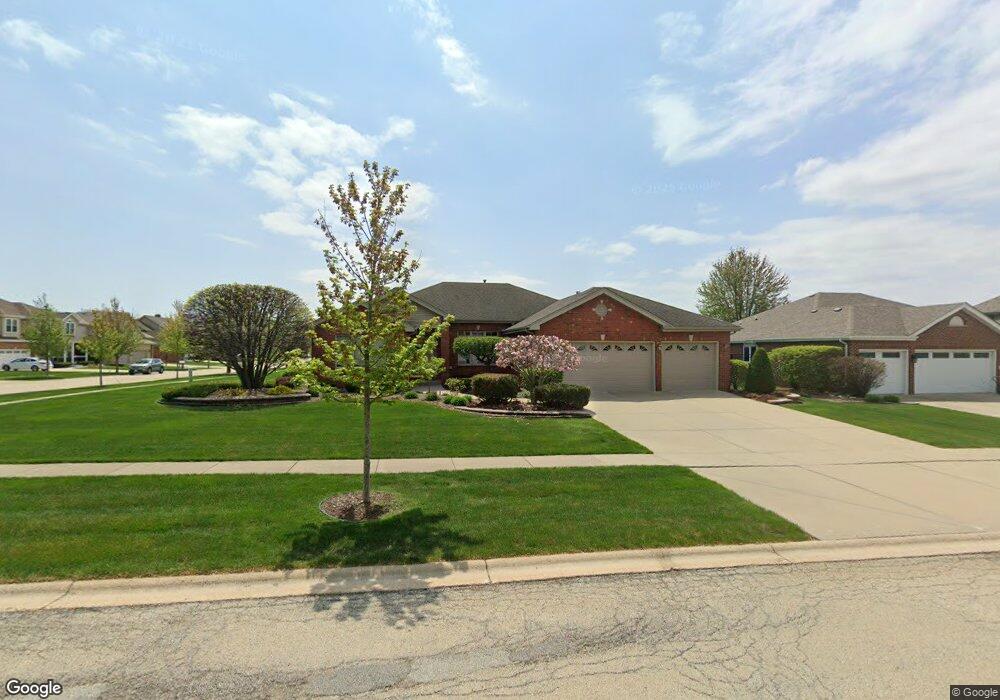
922 Krystal Ln New Lenox, IL 60451
Estimated Value: $444,486 - $556,000
--
Bed
--
Bath
--
Sq Ft
0.28
Acres
About This Home
This home is located at 922 Krystal Ln, New Lenox, IL 60451 and is currently estimated at $504,872. 922 Krystal Ln is a home located in Will County with nearby schools including Bentley Elementary School, Arnold J Tyler School, and Alex M Martino Jr High School.
Ownership History
Date
Name
Owned For
Owner Type
Purchase Details
Closed on
Sep 12, 2018
Sold by
Schmidt Mark A and Schmidt Susan M
Bought by
Schmidt Mark A and Schmidt Susan M
Current Estimated Value
Purchase Details
Closed on
Jul 22, 2004
Sold by
Eagle Ridge Corp
Bought by
Schmidt Mark A and Schmidt Susan M
Home Financials for this Owner
Home Financials are based on the most recent Mortgage that was taken out on this home.
Original Mortgage
$100,000
Interest Rate
6.08%
Mortgage Type
Purchase Money Mortgage
Create a Home Valuation Report for This Property
The Home Valuation Report is an in-depth analysis detailing your home's value as well as a comparison with similar homes in the area
Home Values in the Area
Average Home Value in this Area
Purchase History
| Date | Buyer | Sale Price | Title Company |
|---|---|---|---|
| Schmidt Mark A | -- | Attorney | |
| Schmidt Mark A | $337,000 | Atg |
Source: Public Records
Mortgage History
| Date | Status | Borrower | Loan Amount |
|---|---|---|---|
| Closed | Schmidt Mark A | $100,000 |
Source: Public Records
Tax History Compared to Growth
Tax History
| Year | Tax Paid | Tax Assessment Tax Assessment Total Assessment is a certain percentage of the fair market value that is determined by local assessors to be the total taxable value of land and additions on the property. | Land | Improvement |
|---|---|---|---|---|
| 2024 | $10,818 | $149,308 | $36,393 | $112,915 |
| 2023 | $10,818 | $136,106 | $33,175 | $102,931 |
| 2022 | $10,332 | $125,386 | $30,562 | $94,824 |
| 2021 | $9,809 | $117,922 | $28,743 | $89,179 |
| 2020 | $9,531 | $113,714 | $27,717 | $85,997 |
| 2019 | $9,124 | $110,188 | $26,858 | $83,330 |
| 2018 | $8,914 | $106,389 | $25,932 | $80,457 |
| 2017 | $8,471 | $103,330 | $25,186 | $78,144 |
| 2016 | $8,224 | $100,565 | $24,512 | $76,053 |
| 2015 | $7,964 | $97,399 | $23,740 | $73,659 |
| 2014 | $7,964 | $96,197 | $23,447 | $72,750 |
| 2013 | $7,964 | $97,494 | $23,763 | $73,731 |
Source: Public Records
Map
Nearby Homes
- 513 Somerset Ln
- 449 Somerset Ln Unit 1
- 1017 E Lincoln Hwy
- 203 Tonell Ave
- 709 Garadice Dr
- 125 N Anderson Rd
- 214 Somerset Ct
- 235 Roberts Rd
- 920 Barnside Rd
- 1212 Georgias Way
- 328 E Lincoln Hwy
- 1139 Georgias Way
- 1193 Georgias Way
- 1125 Georgias Way
- 1535 Glenbrooke Ln
- 1245 Georgias Way
- 1351 E Lincoln Hwy
- 808 Stonegate Rd
- 701 Bishops Gate
- 641 Lisson Grove
- 914 Krystal Ln
- 945 Cheyenne Ln
- 929 Cheyenne Ln
- 906 Krystal Ln Unit 5
- 548 Marilyn Dr
- 929 Krystal Ln
- 564 Marilyn Dr
- 532 Marilyn Dr
- 921 Krystal Ln
- 913 Cheyenne Ln
- 580 Marilyn Dr
- 516 Marilyn Dr
- 917 Krystal Ln
- 900 Krystal Ln
- 596 Marilyn Dr
- 907 Cheyenne Ln
- 942 Cheyenne Ln
- 926 Cheyenne Ln
- 911 Krystal Ln
- 600 Marilyn Dr