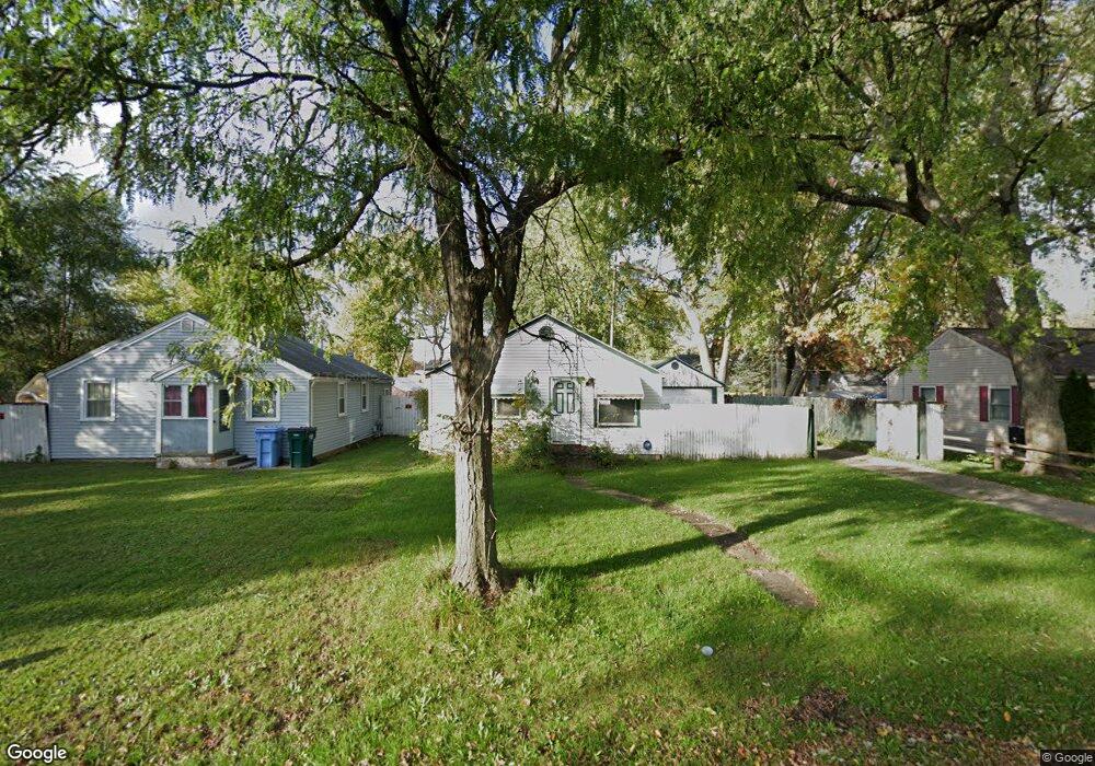
922 Loa St Lansing, MI 48910
Old Everett NeighborhoodEstimated Value: $107,478 - $124,000
Studio
--
Bath
1,152
Sq Ft
$100/Sq Ft
Est. Value
About This Home
This home is located at 922 Loa St, Lansing, MI 48910 and is currently estimated at $115,620, approximately $100 per square foot. 922 Loa St is a home located in Ingham County with nearby schools including Kendon School, Attwood School, and Everett High School.
Ownership History
Date
Name
Owned For
Owner Type
Purchase Details
Closed on
Aug 30, 2002
Sold by
Barrett Shawn S and Barrett Trisha J
Bought by
Furr Jennifer J
Current Estimated Value
Home Financials for this Owner
Home Financials are based on the most recent Mortgage that was taken out on this home.
Original Mortgage
$77,300
Outstanding Balance
$32,668
Interest Rate
6.4%
Mortgage Type
Purchase Money Mortgage
Estimated Equity
$82,952
Purchase Details
Closed on
Jul 25, 1997
Sold by
Jones Jean L
Bought by
Barrett Shawn S and Barrett Trisha
Create a Home Valuation Report for This Property
The Home Valuation Report is an in-depth analysis detailing your home's value as well as a comparison with similar homes in the area
Home Values in the Area
Average Home Value in this Area
Purchase History
| Date | Buyer | Sale Price | Title Company |
|---|---|---|---|
| Furr Jennifer J | $81,400 | Midstate Title Company | |
| Barrett Shawn S | $54,000 | -- |
Source: Public Records
Mortgage History
| Date | Status | Borrower | Loan Amount |
|---|---|---|---|
| Open | Furr Jennifer J | $77,300 |
Source: Public Records
Tax History
| Year | Tax Paid | Tax Assessment Tax Assessment Total Assessment is a certain percentage of the fair market value that is determined by local assessors to be the total taxable value of land and additions on the property. | Land | Improvement |
|---|---|---|---|---|
| 2025 | $1,852 | $54,600 | $7,900 | $46,700 |
| 2024 | $14 | $44,700 | $7,900 | $36,800 |
| 2023 | $1,739 | $39,400 | $7,900 | $31,500 |
| 2022 | $1,571 | $34,300 | $7,900 | $26,400 |
| 2021 | $1,539 | $31,400 | $3,900 | $27,500 |
| 2020 | $1,529 | $29,400 | $3,900 | $25,500 |
| 2019 | $1,463 | $28,300 | $3,900 | $24,400 |
| 2018 | $1,374 | $23,100 | $3,900 | $19,200 |
| 2017 | $1,315 | $23,100 | $3,900 | $19,200 |
| 2016 | $1,257 | $22,700 | $3,900 | $18,800 |
| 2015 | $1,257 | $22,000 | $7,854 | $14,146 |
| 2014 | $1,257 | $21,600 | $4,712 | $16,888 |
Source: Public Records
Map
Nearby Homes
- 924 Loa St
- 725 Dunlap St
- 0 Rickle
- 3115 Palmer St
- 3429 Lowcroft Ave
- 815 Woodbine Ave
- 410 Dunlap St
- 3439 Lowcroft Ave
- 334 Dunlap St
- 1703 Holly Way
- 416 W Holmes Rd
- 1618 Loraine Ave
- 3705 Burchfield Dr
- 218 Dunlap St
- 3815 Walton Dr
- 215 Dunlap St
- 0 Burchfield Dr
- 1926 Peggy St
- 2001 S Martin Luther King Junior Blvd
- 3723 Weger Place
- 920 Loa St
- 919 Dunlap St
- 921 Dunlap St
- 915 Dunlap St
- 3020 Stirling Ave
- 925 Loa St
- 915 Loa St
- 3010 Stirling Ave
- 1005 Loa St
- 911 Loa St
- 1007 Loa St
- 903 Loa St
- 3021 Stirling Ave
- 1011 Loa St
- 36 Dunlap St
- 916 Dunlap St
- 825 Dunlap St
- 914 Dunlap St
- 3101 S Martin Luther King Junior Blvd Unit Suite 2
- 3101 S Martin Luther King Junior Blvd Unit Suite 1
Your Personal Tour Guide
Ask me questions while you tour the home.