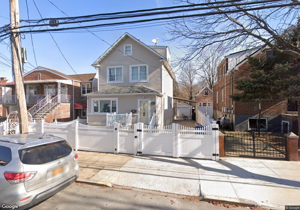
922 Quincy Ave Bronx, NY 10465
Throgs Neck-Edgewater Park NeighborhoodEstimated Value: $743,852 - $836,000
Studio
--
Bath
1,708
Sq Ft
$467/Sq Ft
Est. Value
About This Home
This home is located at 922 Quincy Ave, Bronx, NY 10465 and is currently estimated at $797,963, approximately $467 per square foot. 922 Quincy Ave is a home located in Bronx County with nearby schools including P.S. 14 Senator John Calandra, Herbert H Lehman High School, and St Benedict School.
Ownership History
Date
Name
Owned For
Owner Type
Purchase Details
Closed on
Sep 29, 1998
Sold by
Longo Pasquale and Longo Lina
Bought by
Goicochea Robert and Goicochea Brigida
Current Estimated Value
Home Financials for this Owner
Home Financials are based on the most recent Mortgage that was taken out on this home.
Original Mortgage
$247,000
Outstanding Balance
$53,612
Interest Rate
6.8%
Estimated Equity
$744,351
Create a Home Valuation Report for This Property
The Home Valuation Report is an in-depth analysis detailing your home's value as well as a comparison with similar homes in the area
Home Values in the Area
Average Home Value in this Area
Purchase History
| Date | Buyer | Sale Price | Title Company |
|---|---|---|---|
| Goicochea Robert | $260,000 | -- |
Source: Public Records
Mortgage History
| Date | Status | Borrower | Loan Amount |
|---|---|---|---|
| Open | Goicochea Robert | $247,000 |
Source: Public Records
Tax History
| Year | Tax Paid | Tax Assessment Tax Assessment Total Assessment is a certain percentage of the fair market value that is determined by local assessors to be the total taxable value of land and additions on the property. | Land | Improvement |
|---|---|---|---|---|
| 2025 | $6,785 | $37,294 | $9,736 | $27,558 |
| 2024 | $6,785 | $35,183 | $10,950 | $24,233 |
| 2023 | $6,457 | $33,192 | $9,536 | $23,656 |
| 2022 | $6,066 | $34,440 | $10,980 | $23,460 |
| 2021 | $6,279 | $31,800 | $10,980 | $20,820 |
| 2020 | $6,282 | $34,560 | $10,980 | $23,580 |
| 2019 | $5,840 | $33,300 | $10,980 | $22,320 |
| 2018 | $5,341 | $27,660 | $10,980 | $16,680 |
| 2017 | $5,106 | $26,520 | $10,980 | $15,540 |
| 2016 | $4,901 | $26,064 | $10,623 | $15,441 |
| 2015 | $2,924 | $26,064 | $11,998 | $14,066 |
| 2014 | $2,924 | $25,435 | $11,708 | $13,727 |
Source: Public Records
Map
Nearby Homes
- 941 Revere Ave
- 945 Swinton Ave
- 836 Revere Ave
- 815 Quincy Ave
- 1039 Calhoun Ave
- 815 Swinton Ave
- - Ave
- 1052 Brinsmade Ave
- 755 Quincy Ave
- 750 Swinton Ave
- 1049 Huntington Ave
- 710 Revere Ave
- 755 Logan Ave
- 924 Hollywood Ave
- 820 Hollywood Ave
- 822 Hollywood Ave
- 2886 Randall Ave
- 725 Logan Ave
- 730 Logan Ave
- 2902 Baisley Ave
- 924 Quincy Ave
- 920 Quincy Ave
- 926 Quincy Ave
- 916 Quincy Ave
- 928 Quincy Ave
- 932 Quincy Ave
- 912 Quincy Ave
- 923 Calhoun Ave
- 925 Calhoun Ave
- 910 Quincy Ave
- 910 Quincy Ave Unit 2
- 910 Quincy Ave Unit 1
- 915 Calhoun Ave
- 929 Calhoun Ave
- 938 Quincy Ave
- 931 Calhoun Ave
- 931 Calhoun Ave Unit 1
- 911 Calhoun Ave
- 923 Quincy Ave
- 927 Quincy Ave
Your Personal Tour Guide
Ask me questions while you tour the home.