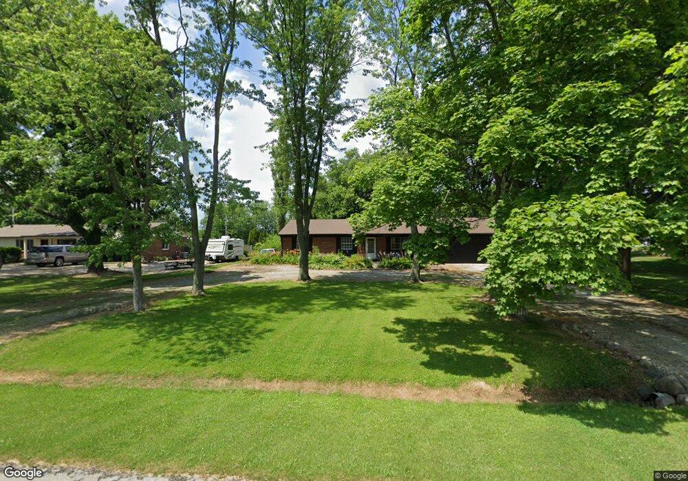
922 Rustic Ln Whiteland, IN 46184
Estimated Value: $235,000 - $276,032
5
Beds
2
Baths
1,517
Sq Ft
$173/Sq Ft
Est. Value
About This Home
This home is located at 922 Rustic Ln, Whiteland, IN 46184 and is currently estimated at $261,758, approximately $172 per square foot. 922 Rustic Ln is a home located in Johnson County with nearby schools including Pleasant Crossing Elementary School, Clark-Pleasant Middle School, and Whiteland Community High School.
Ownership History
Date
Name
Owned For
Owner Type
Purchase Details
Closed on
Jul 29, 2022
Sold by
Belinda Graves
Bought by
Higdon Riley Glenn
Current Estimated Value
Home Financials for this Owner
Home Financials are based on the most recent Mortgage that was taken out on this home.
Original Mortgage
$211,850
Outstanding Balance
$202,841
Interest Rate
5.7%
Mortgage Type
New Conventional
Estimated Equity
$58,917
Purchase Details
Closed on
Feb 17, 2022
Sold by
Sheriff Of Johnson County
Bought by
Acton Dawn
Create a Home Valuation Report for This Property
The Home Valuation Report is an in-depth analysis detailing your home's value as well as a comparison with similar homes in the area
Home Values in the Area
Average Home Value in this Area
Purchase History
| Date | Buyer | Sale Price | Title Company |
|---|---|---|---|
| Higdon Riley Glenn | -- | Chicago Title | |
| Acton Dawn | $181,000 | Codilis Law Llc |
Source: Public Records
Mortgage History
| Date | Status | Borrower | Loan Amount |
|---|---|---|---|
| Open | Higdon Riley Glenn | $211,850 |
Source: Public Records
Tax History
| Year | Tax Paid | Tax Assessment Tax Assessment Total Assessment is a certain percentage of the fair market value that is determined by local assessors to be the total taxable value of land and additions on the property. | Land | Improvement |
|---|---|---|---|---|
| 2025 | $1,802 | $265,300 | $41,700 | $223,600 |
| 2024 | $1,802 | $213,100 | $41,700 | $171,400 |
| 2023 | $1,849 | $207,200 | $41,700 | $165,500 |
| 2022 | $2,153 | $209,900 | $32,000 | $177,900 |
| 2021 | $3,605 | $173,100 | $32,000 | $141,100 |
| 2020 | $3,157 | $151,500 | $29,100 | $122,400 |
| 2019 | $1,259 | $138,900 | $27,200 | $111,700 |
| 2018 | $1,366 | $140,400 | $27,200 | $113,200 |
| 2017 | $1,370 | $143,300 | $27,200 | $116,100 |
| 2016 | $1,323 | $140,500 | $27,200 | $113,300 |
| 2014 | $1,304 | $131,500 | $26,600 | $104,900 |
| 2013 | $1,304 | $130,800 | $26,600 | $104,200 |
Source: Public Records
Map
Nearby Homes
- 731 W 600 N
- 5861 N 75 W
- 346 Switchgrass Ln
- 1052 Hilltop Commons Blvd
- 3258 Hemlock St
- 126 Tracy Ridge Blvd
- 3088 Limber Pine Dr
- 821 Princeton Dr
- 1062 Berwyn Rd
- 143 Tracy Ridge Blvd
- 2914 Branch St
- 817 Sylvan St
- 451 Mooreland Dr
- 847 Sylvan St
- 138 Crestwood Dr
- 217 Crestwood Dr
- 153 Parkview Dr
- 250 Southlane Dr
- 2777 Grand Fir Dr
- 239 Shelton Place
Your Personal Tour Guide
Ask me questions while you tour the home.