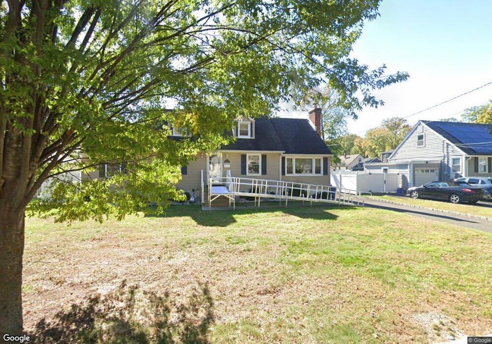
922 Sterling St Unit 26 Plainfield, NJ 07062
Estimated Value: $484,000 - $633,000
--
Bed
--
Bath
1,080
Sq Ft
$516/Sq Ft
Est. Value
About This Home
This home is located at 922 Sterling St Unit 26, Plainfield, NJ 07062 and is currently estimated at $557,379, approximately $516 per square foot. 922 Sterling St Unit 26 is a home located in Union County with nearby schools including Frederic W. Cook School, Emerson Community School, and Maxson Middle School.
Ownership History
Date
Name
Owned For
Owner Type
Purchase Details
Closed on
Jun 27, 2025
Sold by
Jones Enid and Burton Enid
Bought by
Philipone Elizabeth
Current Estimated Value
Home Financials for this Owner
Home Financials are based on the most recent Mortgage that was taken out on this home.
Original Mortgage
$440,000
Outstanding Balance
$439,253
Interest Rate
6.84%
Mortgage Type
New Conventional
Estimated Equity
$118,126
Purchase Details
Closed on
Oct 20, 2009
Sold by
Carrano Salvatore
Bought by
Floresca Jones Enid and Floresca Burton
Home Financials for this Owner
Home Financials are based on the most recent Mortgage that was taken out on this home.
Original Mortgage
$353,479
Interest Rate
5.09%
Mortgage Type
FHA
Purchase Details
Closed on
Jul 6, 2007
Sold by
Mueller Carol Linda
Bought by
Carrano Salvatore
Create a Home Valuation Report for This Property
The Home Valuation Report is an in-depth analysis detailing your home's value as well as a comparison with similar homes in the area
Home Values in the Area
Average Home Value in this Area
Purchase History
| Date | Buyer | Sale Price | Title Company |
|---|---|---|---|
| Philipone Elizabeth | $620,000 | Chicago Title Insurance Compan | |
| Philipone Elizabeth | $620,000 | Chicago Title Insurance Compan | |
| Floresca Jones Enid | $360,000 | Multiple | |
| Carrano Salvatore | $160,000 | First American Title Ins Co |
Source: Public Records
Mortgage History
| Date | Status | Borrower | Loan Amount |
|---|---|---|---|
| Open | Philipone Elizabeth | $440,000 | |
| Previous Owner | Floresca Jones Enid | $353,479 |
Source: Public Records
Tax History Compared to Growth
Tax History
| Year | Tax Paid | Tax Assessment Tax Assessment Total Assessment is a certain percentage of the fair market value that is determined by local assessors to be the total taxable value of land and additions on the property. | Land | Improvement |
|---|---|---|---|---|
| 2025 | $10,295 | $117,900 | $51,000 | $66,900 |
| 2024 | $10,194 | $117,900 | $51,000 | $66,900 |
| 2023 | $10,194 | $117,900 | $51,000 | $66,900 |
| 2022 | $9,973 | $117,900 | $51,000 | $66,900 |
| 2021 | $9,886 | $117,900 | $51,000 | $66,900 |
| 2020 | $9,858 | $117,900 | $51,000 | $66,900 |
| 2019 | $9,858 | $117,900 | $51,000 | $66,900 |
| 2018 | $9,651 | $117,900 | $51,000 | $66,900 |
| 2017 | $9,415 | $117,900 | $51,000 | $66,900 |
| 2016 | $9,223 | $117,900 | $51,000 | $66,900 |
| 2015 | $8,951 | $117,900 | $51,000 | $66,900 |
| 2014 | -- | $117,900 | $51,000 | $66,900 |
Source: Public Records
Map
Nearby Homes
- 939-45 Post Dr
- 848 Adam Cir
- 1158 Woodmere Place
- 810 Leland Ave Unit 14
- 842 Berkeley Ave
- 1224 Sunnyfield Ln
- 481 Terrill Rd
- 43 Cray Terrace
- 1232 Sunnyfield Ln
- 32 Gere Place
- 965 Hilltop Rd
- 1138 Gresham Rd Unit 40
- 1138-40 Gresham Rd
- 15 La Grande Ave
- 714 Dixie Ln
- 1657 Forest Hill Rd Unit 63
- 771 Ravine Rd
- 767 Ravine Rd Unit 73
- 1009 Mayfair Way
- 351 Terrill Rd
- 928 Sterling St Unit 32
- 916-20 Sterling St
- 916 Sterling St Unit 20
- 1283 Cambridge Ave Unit 85
- 1279 Cambridge Ave Unit 81
- 910 Sterling St Unit 14
- 929 Sterling St Unit 31
- 1280 Oxford Ave Unit 84
- 1282 Oxford Ave
- 925 Sterling St Unit 27
- 919 Sterling St Unit 23
- 1275 Cambridge Ave Unit 77
- 915 Sterling St Unit 17
- 1290 Cambridge Ave
- 1274 Oxford Ave Unit 78
- 911 Sterling St Unit 13
- 1271 Cambridge Ave Unit 73
- 1288 Cambridge Ave Unit 92
- 1284 Cambridge Ave Unit 86
- 1276 Cambridge Ave Unit 78