922 Tetrick Rd Shinnston, WV 26431
Estimated Value: $357,000 - $540,000
4
Beds
2
Baths
3,432
Sq Ft
$139/Sq Ft
Est. Value
About This Home
This home is located at 922 Tetrick Rd, Shinnston, WV 26431 and is currently estimated at $478,296, approximately $139 per square foot. 922 Tetrick Rd is a home located in Harrison County.
Ownership History
Date
Name
Owned For
Owner Type
Purchase Details
Closed on
May 17, 2022
Sold by
Ogal Cain
Bought by
Owens Ashley Brooke and Owens Chad William
Current Estimated Value
Purchase Details
Closed on
Dec 14, 2019
Sold by
Cain Ogal
Bought by
Kellar Christopher
Purchase Details
Closed on
Jun 2, 2015
Sold by
Skip Skip
Bought by
Skip Skip
Create a Home Valuation Report for This Property
The Home Valuation Report is an in-depth analysis detailing your home's value as well as a comparison with similar homes in the area
Home Values in the Area
Average Home Value in this Area
Purchase History
| Date | Buyer | Sale Price | Title Company |
|---|---|---|---|
| Owens Ashley Brooke | $50,000 | None Listed On Document | |
| Kellar Christopher | $240,000 | None Listed On Document | |
| Kellar Christopher | $240,000 | None Listed On Document | |
| Kellar Christopher | $240,000 | None Listed On Document | |
| Skip Skip | $451,000 | None Available |
Source: Public Records
Tax History Compared to Growth
Tax History
| Year | Tax Paid | Tax Assessment Tax Assessment Total Assessment is a certain percentage of the fair market value that is determined by local assessors to be the total taxable value of land and additions on the property. | Land | Improvement |
|---|---|---|---|---|
| 2024 | $3,528 | $308,280 | $205,740 | $102,540 |
| 2023 | $3,536 | $292,380 | $205,740 | $86,640 |
| 2022 | $3,158 | $267,960 | $182,100 | $85,860 |
| 2021 | $1,241 | $106,620 | $21,900 | $84,720 |
| 2020 | $1,230 | $106,680 | $20,820 | $85,860 |
| 2019 | $1,227 | $106,320 | $20,820 | $85,500 |
| 2018 | $1,207 | $105,120 | $20,820 | $84,300 |
| 2017 | $2,628 | $114,960 | $37,440 | $77,520 |
| 2016 | $2,550 | $112,920 | $36,900 | $76,020 |
| 2015 | $1,057 | $93,120 | $19,020 | $74,100 |
| 2014 | $915 | $80,700 | $17,400 | $63,300 |
Source: Public Records
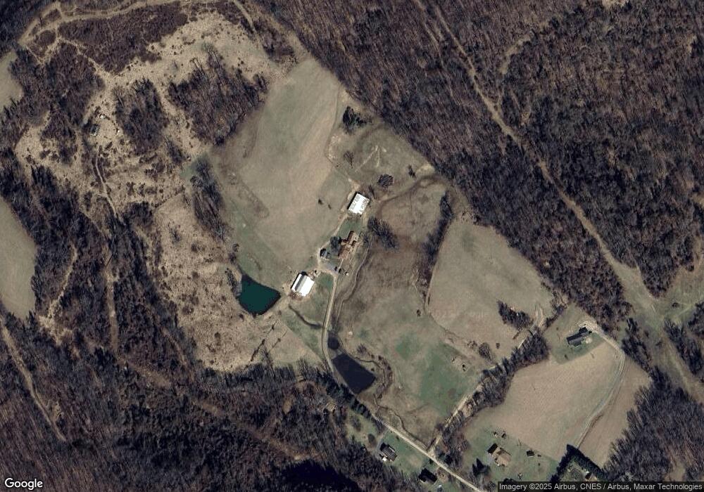
Map
Nearby Homes
- Lot B Riverdale Estates
- 131 Hill View Terrace
- 90 W Enterprise Rd
- 704 S Stewart St
- Tbd Long Run Rd
- 1240 Philli Ln
- 85 Charles St
- 2 Sycamore St
- 1704 Saltwell Rd
- 31 Sanctuary Way
- 426 Vernon St
- 90 3rd St
- 5007 Freedom Hwy
- 607 S Pike St
- 1236 Francis Mine Rd
- 1955 Owings Rd
- 74 Long Meadow Ln
- 745 Odells Knob Rd
- 560 Miners Way
- 2011 Adamsville Rd
- 913 Tetrick Rd
- 776 Tetrick Rd
- 813 Tetrick Rd
- 768 Tetrick Rd
- 750 Tetrick Rd
- 574 Tetrick Rd
- 0 Route 19-4 (Tbd) Unit 10153266
- 200 Route 19-3
- 494 Branch of Fork W
- 209A Route 19-4
- 145 Jefferson Ave
- 67 Jefferson Ave
- 115 Jefferson Ave
- 199 Jefferson Ave
- 3116 Pine Bluff Rd
- 401 Tetrick Rd
- 1 Jefferson Ave
- 309 Misty Mountain Dr
- 54 Jefferson Ave
- 20 Jefferson Ave