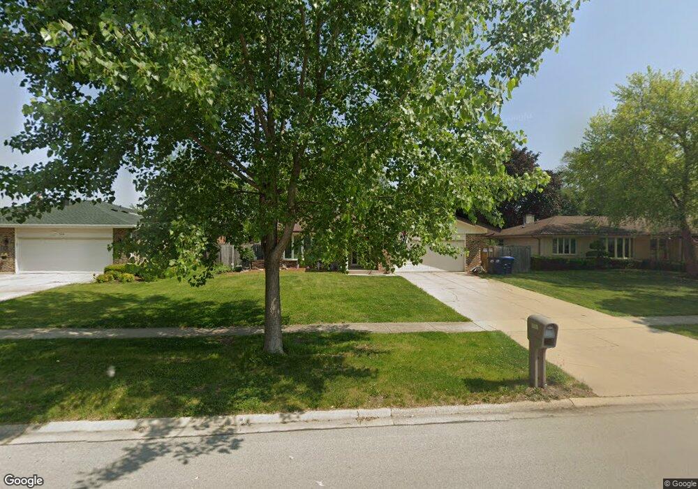
922 Walnut Dr Darien, IL 60561
Estimated Value: $453,376 - $574,000
Studio
1
Bath
1,917
Sq Ft
$257/Sq Ft
Est. Value
About This Home
This home is located at 922 Walnut Dr, Darien, IL 60561 and is currently estimated at $492,844, approximately $257 per square foot. 922 Walnut Dr is a home located in DuPage County with nearby schools including Mark Delay School, Lace Elementary School, and Eisenhower Jr High School.
Ownership History
Date
Name
Owned For
Owner Type
Purchase Details
Closed on
Feb 23, 2024
Sold by
Trust Number 8002346775
Bought by
Monaco Mark
Current Estimated Value
Purchase Details
Closed on
Jun 30, 2006
Sold by
Skinner Mary Sue
Bought by
Chicago Title Land Trust Co and Trust #8002346775
Home Financials for this Owner
Home Financials are based on the most recent Mortgage that was taken out on this home.
Original Mortgage
$280,000
Interest Rate
8%
Mortgage Type
Credit Line Revolving
Purchase Details
Closed on
Nov 12, 2002
Sold by
Skinner Frederick W
Bought by
Skinner Mary Sue
Create a Home Valuation Report for This Property
The Home Valuation Report is an in-depth analysis detailing your home's value as well as a comparison with similar homes in the area
Home Values in the Area
Average Home Value in this Area
Purchase History
| Date | Buyer | Sale Price | Title Company |
|---|---|---|---|
| Monaco Mark | -- | Chicago Title | |
| Chicago Title Land Trust Co | $375,000 | First American Title | |
| Skinner Mary Sue | -- | Chicago Title Insurance Co |
Source: Public Records
Mortgage History
| Date | Status | Borrower | Loan Amount |
|---|---|---|---|
| Previous Owner | Chicago Title Land Trust Co | $280,000 |
Source: Public Records
Tax History
| Year | Tax Paid | Tax Assessment Tax Assessment Total Assessment is a certain percentage of the fair market value that is determined by local assessors to be the total taxable value of land and additions on the property. | Land | Improvement |
|---|---|---|---|---|
| 2024 | $8,439 | $138,977 | $53,650 | $85,327 |
| 2023 | $8,128 | $127,760 | $49,320 | $78,440 |
| 2022 | $7,898 | $123,970 | $48,310 | $75,660 |
| 2021 | $7,597 | $122,560 | $47,760 | $74,800 |
| 2020 | $7,495 | $120,130 | $46,810 | $73,320 |
| 2019 | $7,245 | $115,260 | $44,910 | $70,350 |
| 2018 | $6,918 | $111,160 | $44,640 | $66,520 |
| 2017 | $6,850 | $106,970 | $42,960 | $64,010 |
| 2016 | $6,673 | $102,090 | $41,000 | $61,090 |
| 2015 | $6,213 | $96,040 | $38,570 | $57,470 |
| 2014 | $6,336 | $96,950 | $37,500 | $59,450 |
| 2013 | $6,155 | $96,490 | $37,320 | $59,170 |
Source: Public Records
Map
Nearby Homes
- 7525 Nantucket Dr Unit 210
- 7713 Brookhaven Ave
- 7800 Dorchester Ln
- 7816 Dorchester Ln
- 7725 Sawyer Rd
- 709 79th St Unit 408
- 801 79th St Unit 310
- 7700 Apple Tree Ln
- Lot 1, 2, 3, 4 & 5 Nantucket Dr
- 17W435 Concord Place
- 1204 Sleepy Hollow Ln
- 7209 Grant St
- 1447 Coventry Ct
- 1501 Darien Lake Dr Unit A201
- 1524 Brittany Ct
- 1052 Ripple Ridge
- 1370 Marco Ct
- 1390 Marco Ct
- 7925 William Dr
- 8076 Capra Trail
- 926 Walnut Dr
- 918 Walnut Dr
- 930 Walnut Dr
- 914 Walnut Dr
- 7515 Country Ln Unit 2W
- 7515 Country Ln Unit 1W
- 7513 Country Ln
- 7513 Country Ln Unit 2W
- 7513 Country Ln Unit 1E
- 7513 Country Ln Unit 1W
- 7519 Country Ln
- 921 Walnut Dr
- 917 Walnut Dr
- 934 Walnut Dr
- 925 Walnut Dr Unit 14
- 7511 Country Ln
- 929 Walnut Dr
- 7514 Country Ln
- 7516 Country Ln
- 938 Walnut Dr
Your Personal Tour Guide
Ask me questions while you tour the home.