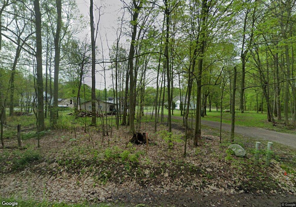
9220 Pritchard Rd Garrettsville, OH 44231
Estimated Value: $303,000 - $431,000
3
Beds
1
Bath
1,856
Sq Ft
$188/Sq Ft
Est. Value
About This Home
This home is located at 9220 Pritchard Rd, Garrettsville, OH 44231 and is currently estimated at $349,379, approximately $188 per square foot. 9220 Pritchard Rd is a home located in Portage County with nearby schools including James A. Garfield Elementary School, James A. Garfield Middle School, and James A. Garfield High School.
Ownership History
Date
Name
Owned For
Owner Type
Purchase Details
Closed on
Jun 29, 2017
Sold by
Soltis James W
Bought by
Wilson Deborah M and Marie Soltis Trust
Current Estimated Value
Purchase Details
Closed on
Apr 26, 2002
Sold by
Miller Ray F and Miller Christina G
Bought by
Miller Ray F and Miller Christina G
Home Financials for this Owner
Home Financials are based on the most recent Mortgage that was taken out on this home.
Original Mortgage
$123,401
Interest Rate
7.18%
Create a Home Valuation Report for This Property
The Home Valuation Report is an in-depth analysis detailing your home's value as well as a comparison with similar homes in the area
Home Values in the Area
Average Home Value in this Area
Purchase History
| Date | Buyer | Sale Price | Title Company |
|---|---|---|---|
| Wilson Deborah M | -- | None Available | |
| Miller Ray F | -- | Western Reserve Title |
Source: Public Records
Mortgage History
| Date | Status | Borrower | Loan Amount |
|---|---|---|---|
| Previous Owner | Miller Ray F | $123,401 |
Source: Public Records
Tax History Compared to Growth
Tax History
| Year | Tax Paid | Tax Assessment Tax Assessment Total Assessment is a certain percentage of the fair market value that is determined by local assessors to be the total taxable value of land and additions on the property. | Land | Improvement |
|---|---|---|---|---|
| 2024 | $4,124 | $115,090 | $22,230 | $92,860 |
| 2023 | $3,204 | $78,400 | $16,030 | $62,370 |
| 2022 | $3,207 | $78,400 | $16,030 | $62,370 |
| 2021 | $3,106 | $78,400 | $16,030 | $62,370 |
| 2020 | $2,868 | $70,740 | $16,030 | $54,710 |
| 2019 | $2,875 | $70,740 | $16,030 | $54,710 |
| 2018 | $3,185 | $58,420 | $15,510 | $42,910 |
| 2017 | $2,757 | $58,420 | $15,510 | $42,910 |
| 2016 | $2,672 | $58,420 | $15,510 | $42,910 |
| 2015 | $2,686 | $58,420 | $15,510 | $42,910 |
| 2014 | $2,870 | $58,420 | $15,510 | $42,910 |
| 2013 | $2,710 | $58,420 | $15,510 | $42,910 |
Source: Public Records
Map
Nearby Homes
- 12947 Brosius Rd
- 12525 Brosius Rd
- 16790 Main Market Rd
- 12977 Main Market Rd
- 12707 Brosius Rd
- 12954 State Route 88
- 16663 Main Market Rd
- 16659 Main Market Rd
- 18386 Mills Rd
- 16169 Mccall Rd
- 12157 State Route 88
- 7991 Norton Rd
- 11769 Mills Rd Unit 1
- Parcel C Nash Rd
- 0 Nash Rd Unit 5142384
- 7972 State Route 305
- 0 Parkman Unit 5040066
- 16990 Nash Rd
- 5429 U S 422
- 11081 Brosius Rd
- 9266 Pritchard Rd
- 9304 Pritchard Rd
- 9312 Pritchard Rd
- 12788 Prentiss Rd
- 12968 Prentiss Rd
- 12947 Prentiss Rd
- 12988 Prentiss Rd
- 12967 Nelson Parkman Rd
- 12650 Prentiss Rd
- 12806 Nelson Parkman Rd
- 12838 Nelson Parkman Rd
- 12965 Prentiss Rd
- 13003 Nelson Parkman Rd
- 12710 Nelson Parkman Rd
- 13020 Prentiss Rd
- 12620 Prentiss Rd
- 13015 Nelson Parkman Rd
- 12887 Prentiss Rd
- 9452 Pritchard Rd
- 19186 Nelson Parkman Rd
