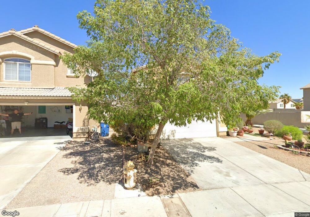
9220 Red Currant Ave Unit 1 Las Vegas, NV 89148
Estimated Value: $403,000 - $429,000
3
Beds
3
Baths
1,419
Sq Ft
$291/Sq Ft
Est. Value
About This Home
This home is located at 9220 Red Currant Ave Unit 1, Las Vegas, NV 89148 and is currently estimated at $413,496, approximately $291 per square foot. 9220 Red Currant Ave Unit 1 is a home located in Clark County with nearby schools including Wayne N. Tanaka Elementary School, Wilbur & Theresa Faiss Middle School, and Sierra Vista High School.
Ownership History
Date
Name
Owned For
Owner Type
Purchase Details
Closed on
Sep 19, 2001
Sold by
Astoria R R 22 Llc
Bought by
Loftus Albert F and Loftus Andrea C
Current Estimated Value
Home Financials for this Owner
Home Financials are based on the most recent Mortgage that was taken out on this home.
Original Mortgage
$100,000
Outstanding Balance
$38,995
Interest Rate
6.99%
Estimated Equity
$374,501
Create a Home Valuation Report for This Property
The Home Valuation Report is an in-depth analysis detailing your home's value as well as a comparison with similar homes in the area
Home Values in the Area
Average Home Value in this Area
Purchase History
| Date | Buyer | Sale Price | Title Company |
|---|---|---|---|
| Loftus Albert F | $143,987 | First American Title Co |
Source: Public Records
Mortgage History
| Date | Status | Borrower | Loan Amount |
|---|---|---|---|
| Open | Loftus Albert F | $100,000 |
Source: Public Records
Tax History Compared to Growth
Tax History
| Year | Tax Paid | Tax Assessment Tax Assessment Total Assessment is a certain percentage of the fair market value that is determined by local assessors to be the total taxable value of land and additions on the property. | Land | Improvement |
|---|---|---|---|---|
| 2025 | $1,467 | $102,672 | $42,350 | $60,322 |
| 2024 | $1,523 | $102,672 | $42,350 | $60,322 |
| 2023 | $1,523 | $93,582 | $36,575 | $57,007 |
| 2022 | $1,479 | $82,799 | $30,800 | $51,999 |
| 2021 | $1,436 | $76,448 | $26,950 | $49,498 |
| 2020 | $1,391 | $72,532 | $23,450 | $49,082 |
| 2019 | $1,268 | $69,288 | $21,000 | $48,288 |
| 2018 | $1,232 | $62,754 | $16,450 | $46,304 |
| 2017 | $1,838 | $62,654 | $15,750 | $46,904 |
| 2016 | $1,242 | $55,424 | $11,900 | $43,524 |
| 2015 | $1,239 | $48,227 | $10,850 | $37,377 |
| 2014 | $1,203 | $39,791 | $6,300 | $33,491 |
Source: Public Records
Map
Nearby Homes
- 9267 Shellmont Ct
- 7264 Morrison St
- 9272 Keaton Ave
- 9299 Adamshurst Ave
- 9050 W Warm Springs Rd Unit 1051
- 9050 W Warm Springs Rd Unit 1164
- 9050 W Warm Springs Rd Unit 2058
- 9050 W Warm Springs Rd Unit 2139
- 9050 W Warm Springs Rd Unit 2054
- 9050 W Warm Springs Rd Unit 2177
- 9119 Glennon Ave
- 9289 Nerone Ave
- 9123 Hilverson Ave
- 9074 Glennon Ave
- 8278 Kinleigh Poulson St
- 8272 Kinleigh Poulson St
- 8266 Kinleigh Poulson St
- 8289 Kinleigh Poulson St
- 8284 Kinleigh Poulson St
- 8283 Kinleigh Poulson St
- 9226 Red Currant Ave Unit 1
- 9232 Red Currant Ave
- 9204 Red Currant Ave
- 9227 Adamshurst Ave
- 7226 Twin Maples Ct
- 9233 Adamshurst Ave
- 9238 Red Currant Ave Unit 1
- 9221 Adamshurst Ave
- 9198 Red Currant Ave
- 9239 Adamshurst Ave
- 7232 Twin Maples Ct
- 9211 Adamshurst Ave
- 7228 Quarterhorse Ln
- 7228 Quarterhorse Ln Unit none
- 9245 Adamshurst Ave
- 9244 Red Currant Ave Unit none
- 9244 Red Currant Ave
- 9192 Red Currant Ave
- 7225 Twin Maples Ct Unit 1
- 7238 Twin Maples Ct