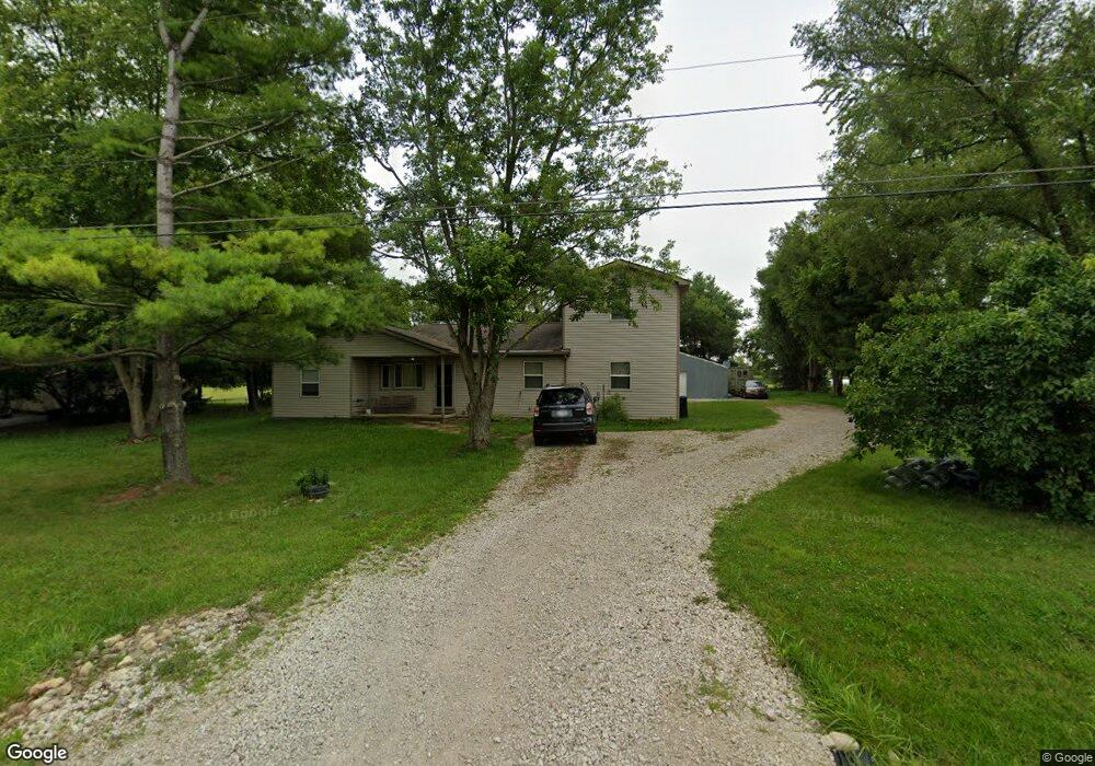
9221 High Free Pike West Jefferson, OH 43162
Estimated Value: $293,000 - $461,000
3
Beds
1
Bath
2,352
Sq Ft
$157/Sq Ft
Est. Value
About This Home
This home is located at 9221 High Free Pike, West Jefferson, OH 43162 and is currently estimated at $369,909, approximately $157 per square foot. 9221 High Free Pike is a home located in Madison County with nearby schools including Norwood Elementary School, West Jefferson Middle School, and West Jefferson High School.
Ownership History
Date
Name
Owned For
Owner Type
Purchase Details
Closed on
Aug 25, 1995
Sold by
Ferguson Larry
Bought by
Pickard James E and Pickard Penny
Current Estimated Value
Home Financials for this Owner
Home Financials are based on the most recent Mortgage that was taken out on this home.
Original Mortgage
$79,300
Interest Rate
7.43%
Mortgage Type
New Conventional
Create a Home Valuation Report for This Property
The Home Valuation Report is an in-depth analysis detailing your home's value as well as a comparison with similar homes in the area
Home Values in the Area
Average Home Value in this Area
Purchase History
| Date | Buyer | Sale Price | Title Company |
|---|---|---|---|
| Pickard James E | $83,500 | -- |
Source: Public Records
Mortgage History
| Date | Status | Borrower | Loan Amount |
|---|---|---|---|
| Closed | Pickard James E | $79,300 |
Source: Public Records
Tax History Compared to Growth
Tax History
| Year | Tax Paid | Tax Assessment Tax Assessment Total Assessment is a certain percentage of the fair market value that is determined by local assessors to be the total taxable value of land and additions on the property. | Land | Improvement |
|---|---|---|---|---|
| 2024 | $4,229 | $95,500 | $17,870 | $77,630 |
| 2023 | $4,229 | $95,500 | $17,870 | $77,630 |
| 2022 | $3,418 | $71,840 | $13,160 | $58,680 |
| 2021 | $3,432 | $71,840 | $13,160 | $58,680 |
| 2020 | $3,493 | $71,840 | $13,160 | $58,680 |
| 2019 | $2,947 | $59,700 | $15,400 | $44,300 |
| 2018 | $2,740 | $59,700 | $15,400 | $44,300 |
| 2017 | $2,744 | $59,700 | $15,400 | $44,300 |
| 2016 | $2,495 | $53,200 | $15,400 | $37,800 |
| 2015 | $2,603 | $53,200 | $15,400 | $37,800 |
| 2014 | $2,603 | $53,200 | $15,400 | $37,800 |
| 2013 | -- | $39,410 | $9,870 | $29,540 |
Source: Public Records
Map
Nearby Homes
- 9519 High Free Pike
- 2263 Amity Rd
- 8654 Cadet Dr N
- 8747 Crestwater Dr
- 1280 Four Star Dr W
- 8528 Cadence Dr
- 8520 Cadence Dr
- 3150 Middle Pike
- 0 Dellinger Rd Unit 9 2030113
- 8333 Squad Dr
- 360 State Route 142 NE
- 8421 Union Dr
- 270 State Route 142 NE
- 8626 Fairbrook Ave
- 8527 Carbine Place
- 287 Greenlake St
- 8871 Patterson Rd
- 8482 Dover Crest Ct
- 8595 Abbot Cove Ave
- 74 S Chester St
- 9255 High Free Pike
- 9335 High Free Pike
- 1895 Ohio 142
- 9377 High Free Pike
- 9385 High Free Pike
- 9415 High Free Pike
- 2189 NE Plain City-Georgesville Rd
- 9551 High Free Pike
- 9445 High Free Pike
- 9549 High Free Pike
- 9545 High Free Pike
- 2020 State Route 142 NE
- 9543 High Free Pike
- 9541 High Free Pike
- 9515 High Free Pike
- 9517 High Free Pike
- 9513 High Free Pike
- 9511 High Free Pike
- 9509 High Free Pike
- 9507 High Free Pike