92226 Treston Ln Marcola, OR 97454
Estimated Value: $390,000 - $767,000
3
Beds
2
Baths
1,569
Sq Ft
$322/Sq Ft
Est. Value
About This Home
This home is located at 92226 Treston Ln, Marcola, OR 97454 and is currently estimated at $504,779, approximately $321 per square foot. 92226 Treston Ln is a home with nearby schools including Marcola Elementary School and Mohawk High School.
Ownership History
Date
Name
Owned For
Owner Type
Purchase Details
Closed on
Jan 18, 2012
Sold by
Arlie & Company
Bought by
Umpqua Bank
Current Estimated Value
Purchase Details
Closed on
Jan 27, 2006
Sold by
Marsh Jack E
Bought by
Sanders Timothy and Sanders Rhonda
Home Financials for this Owner
Home Financials are based on the most recent Mortgage that was taken out on this home.
Original Mortgage
$182,500
Interest Rate
6.28%
Mortgage Type
Construction
Create a Home Valuation Report for This Property
The Home Valuation Report is an in-depth analysis detailing your home's value as well as a comparison with similar homes in the area
Home Values in the Area
Average Home Value in this Area
Purchase History
| Date | Buyer | Sale Price | Title Company |
|---|---|---|---|
| Umpqua Bank | -- | First American Title | |
| Sanders Timothy | $72,500 | First American Title Insuran |
Source: Public Records
Mortgage History
| Date | Status | Borrower | Loan Amount |
|---|---|---|---|
| Previous Owner | Sanders Timothy | $182,500 |
Source: Public Records
Tax History Compared to Growth
Tax History
| Year | Tax Paid | Tax Assessment Tax Assessment Total Assessment is a certain percentage of the fair market value that is determined by local assessors to be the total taxable value of land and additions on the property. | Land | Improvement |
|---|---|---|---|---|
| 2025 | $2,479 | $198,064 | -- | -- |
| 2024 | $2,421 | $192,296 | -- | -- |
| 2023 | $2,421 | $186,696 | $0 | $0 |
| 2022 | $2,237 | $181,259 | $0 | $0 |
| 2021 | $2,186 | $175,980 | $0 | $0 |
| 2020 | $2,121 | $170,855 | $0 | $0 |
| 2019 | $2,051 | $165,879 | $0 | $0 |
| 2018 | $1,990 | $156,357 | $0 | $0 |
| 2017 | $1,841 | $156,357 | $0 | $0 |
| 2016 | $1,799 | $151,803 | $0 | $0 |
| 2015 | $1,766 | $147,382 | $0 | $0 |
| 2014 | $338 | $33,754 | $0 | $0 |
Source: Public Records
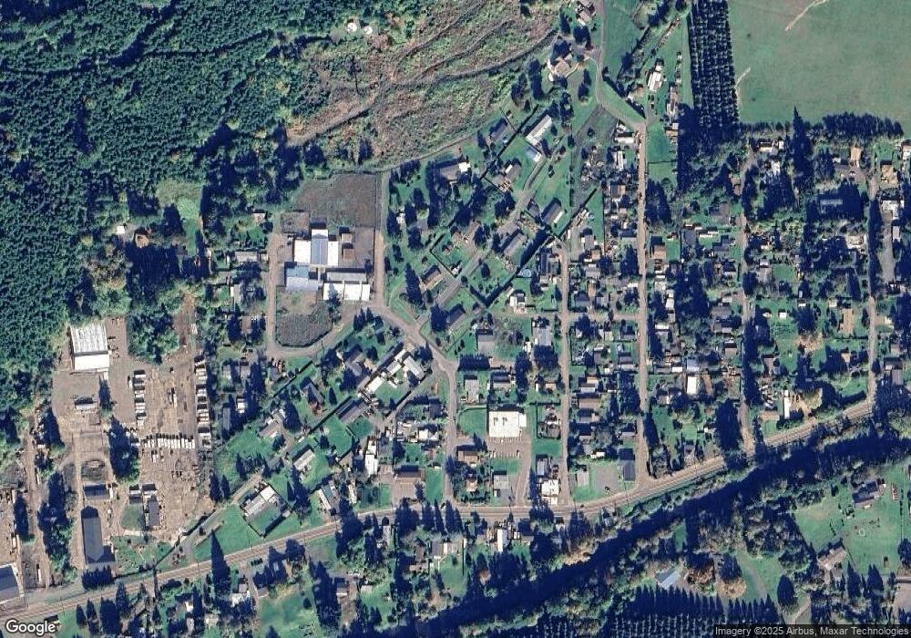
Map
Nearby Homes
- 38058 Railroad Ln
- 38216 Wendling Rd
- 0 Wendling Rd
- 92020 Maple Ln
- 38497 Wendling Rd
- 0 Cascade Woods Dr Unit 24194354
- 93099 Marcola Rd
- 37082 Goats Rd
- 0 Boiler Creek Rd
- 91375 Marcola Rd
- 90948 Sunderman Rd
- 37186 Tree Farm Rd
- 0 McGowan Creek Rd Unit 23316316
- 93933 Marcola Rd
- 0 Alder Branch Rd Unit 610990611
- 90402 Marcola Rd
- 0 Hill Rd
- 0 Shotgun Creek Rd
- 36589 Alder Branch Rd
- 0 Upper Camp Creek Rd Unit 734099093
- 92221 Treston Ln
- 38103 B St
- 92215 Whitmore St
- 92216 Whitmore St
- 92238 Treston Ln
- 38098 A St
- 0 Alcorn St
- 38108 A St
- 92231 Treston Ln
- 92208 Whitmore St
- 92245 Mc Donald Ln
- 92246 Savage St
- 38110 A St
- 92236 Whitmore St
- 92206 Whitmore St
- 38071 McDonald Ln
- 38091 Mc Donald Ln
- 38125 B St
- 38126 B St
- 92198 Whitmore St