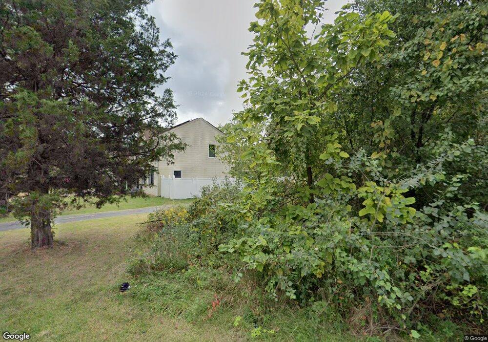
9227 Darcy Rd Upper Marlboro, MD 20774
Estimated Value: $335,000 - $425,221
3
Beds
4
Baths
1,530
Sq Ft
$253/Sq Ft
Est. Value
About This Home
This home is located at 9227 Darcy Rd, Upper Marlboro, MD 20774 and is currently estimated at $387,055, approximately $252 per square foot. 9227 Darcy Rd is a home located in Prince George's County with nearby schools including Arrowhead Elementary School, Kettering Middle School, and Dr. Henry A. Wise Jr. High School.
Ownership History
Date
Name
Owned For
Owner Type
Purchase Details
Closed on
Apr 29, 2008
Sold by
Dawkins James H
Bought by
Finger Nytisha
Current Estimated Value
Home Financials for this Owner
Home Financials are based on the most recent Mortgage that was taken out on this home.
Original Mortgage
$290,000
Outstanding Balance
$183,895
Interest Rate
5.99%
Mortgage Type
VA
Estimated Equity
$203,160
Purchase Details
Closed on
Apr 16, 2008
Sold by
Dawkins James H
Bought by
Finger Nytisha
Home Financials for this Owner
Home Financials are based on the most recent Mortgage that was taken out on this home.
Original Mortgage
$290,000
Outstanding Balance
$183,895
Interest Rate
5.99%
Mortgage Type
VA
Estimated Equity
$203,160
Purchase Details
Closed on
Jan 14, 2003
Sold by
Gooding Victor T
Bought by
Dawkins James H and Dawkins Aleata G
Purchase Details
Closed on
Feb 10, 2000
Sold by
Triangle Homes
Bought by
Gooding Victor T and Gooding Mary M
Create a Home Valuation Report for This Property
The Home Valuation Report is an in-depth analysis detailing your home's value as well as a comparison with similar homes in the area
Home Values in the Area
Average Home Value in this Area
Purchase History
| Date | Buyer | Sale Price | Title Company |
|---|---|---|---|
| Finger Nytisha | $290,000 | -- | |
| Finger Nytisha | $290,000 | -- | |
| Dawkins James H | $225,000 | -- | |
| Gooding Victor T | $151,000 | -- |
Source: Public Records
Mortgage History
| Date | Status | Borrower | Loan Amount |
|---|---|---|---|
| Open | Finger Nytisha | $290,000 | |
| Closed | Finger Nytisha | $290,000 |
Source: Public Records
Tax History Compared to Growth
Tax History
| Year | Tax Paid | Tax Assessment Tax Assessment Total Assessment is a certain percentage of the fair market value that is determined by local assessors to be the total taxable value of land and additions on the property. | Land | Improvement |
|---|---|---|---|---|
| 2025 | $4,020 | $355,133 | -- | -- |
| 2024 | $4,020 | $337,967 | $0 | $0 |
| 2023 | $3,878 | $320,800 | $63,200 | $257,600 |
| 2022 | $3,422 | $307,700 | $0 | $0 |
| 2021 | $7,295 | $294,600 | $0 | $0 |
| 2020 | $6,943 | $281,500 | $46,600 | $234,900 |
| 2019 | $3,793 | $264,867 | $0 | $0 |
| 2018 | $3,097 | $248,233 | $0 | $0 |
| 2017 | $2,921 | $231,600 | $0 | $0 |
| 2016 | -- | $206,500 | $0 | $0 |
| 2015 | $4,012 | $181,400 | $0 | $0 |
| 2014 | $4,012 | $156,300 | $0 | $0 |
Source: Public Records
Map
Nearby Homes
- 1613 Wesbourne Dr
- 0 Darcy Unit MDPG2162328
- 9037 Elk Ave
- 2651 Sierra Nevada Ave
- 2645 Sierra Nevada Ave
- 9025 Darcy Rd
- TBB Presidential Pkwy Unit ALDEN II
- 2729 Lewis And Clark Ave
- 2713 Lewis And Clark Ave
- 8909 Beckett St
- HOMESITE 290 Lewis And Clark Ave
- HOMESITE 291 Lewis And Clark Ave
- HOMESITE 298 Presidential Pkwy
- HOMESITE 292 Lewis And Clark Ave
- HOMESITE 293 Lewis And Clark Ave
- 8912 Francisco Ct
- HOMESITE V51 Aiden Way
- HOMESITE 303 Presidential Pkwy
- HOMESITE V37 Aiden Way
- HOMESITE V44 Aiden Way
- 9235 Darcy Rd
- 9223 Darcy Rd
- 1608 Wesbourne Dr
- 1610 Wesbourne Dr
- 1621 Wesbourne Dr
- 1623 Wesbourne Dr
- 1618 Wesbourne Dr
- 1619 Wesbourne Dr
- 1604 Wesbourne Dr
- 1629 Wesbourne Dr
- 1627 Wesbourne Dr
- 1625 Wesbourne Dr
- 1617 Wesbourne Dr
- 1615 Wesbourne Dr
- 1614 Wesbourne Dr
- 1612 Wesbourne Dr
- 1611 Wesbourne Dr
- 1609 Wesbourne Dr
- 1606 Wesbourne Dr
- 1602 Wesbourne Dr