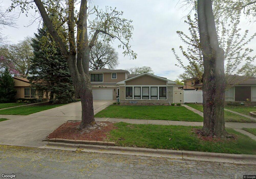
9229 Menard Ave Morton Grove, IL 60053
Estimated Value: $566,000 - $803,154
3
Beds
2
Baths
2,247
Sq Ft
$297/Sq Ft
Est. Value
About This Home
This home is located at 9229 Menard Ave, Morton Grove, IL 60053 and is currently estimated at $666,289, approximately $296 per square foot. 9229 Menard Ave is a home located in Cook County with nearby schools including Park View Elementary School, Niles West High School, and Mesivta Shaarei Adirim.
Ownership History
Date
Name
Owned For
Owner Type
Purchase Details
Closed on
Jan 17, 2007
Sold by
Kaminer Ruth W
Bought by
Awad Francis and Awad Maria Cristina
Current Estimated Value
Home Financials for this Owner
Home Financials are based on the most recent Mortgage that was taken out on this home.
Original Mortgage
$360,000
Outstanding Balance
$215,374
Interest Rate
6.23%
Mortgage Type
Purchase Money Mortgage
Estimated Equity
$450,915
Create a Home Valuation Report for This Property
The Home Valuation Report is an in-depth analysis detailing your home's value as well as a comparison with similar homes in the area
Home Values in the Area
Average Home Value in this Area
Purchase History
| Date | Buyer | Sale Price | Title Company |
|---|---|---|---|
| Awad Francis | $450,000 | Cti |
Source: Public Records
Mortgage History
| Date | Status | Borrower | Loan Amount |
|---|---|---|---|
| Open | Awad Francis | $360,000 |
Source: Public Records
Tax History Compared to Growth
Tax History
| Year | Tax Paid | Tax Assessment Tax Assessment Total Assessment is a certain percentage of the fair market value that is determined by local assessors to be the total taxable value of land and additions on the property. | Land | Improvement |
|---|---|---|---|---|
| 2024 | $15,506 | $57,000 | $10,639 | $46,361 |
| 2023 | $14,745 | $57,000 | $10,639 | $46,361 |
| 2022 | $14,745 | $57,000 | $10,639 | $46,361 |
| 2021 | $8,893 | $31,057 | $6,547 | $24,510 |
| 2020 | $8,728 | $31,057 | $6,547 | $24,510 |
| 2019 | $8,508 | $33,815 | $6,547 | $27,268 |
| 2018 | $9,016 | $32,008 | $5,933 | $26,075 |
| 2017 | $9,102 | $32,008 | $5,933 | $26,075 |
| 2016 | $8,555 | $31,046 | $5,933 | $25,113 |
| 2015 | $7,673 | $26,433 | $5,115 | $21,318 |
| 2014 | $7,682 | $26,433 | $5,115 | $21,318 |
| 2013 | $7,487 | $26,433 | $5,115 | $21,318 |
Source: Public Records
Map
Nearby Homes
- 9224 Menard Ave
- 9314 Menard Ave
- 9320 Menard Ave
- 5644 Lyons St
- 9234 Central Ave
- 8918 Parkside Ave
- 5449 Arcadia St
- 8841 Menard Ave
- 5536 Greenwood St
- 8836 Mansfield Ave
- 5459 Suffield Ct
- 8849 Mcvicker Ave
- 5352 Greenwood St
- 8708 Central Ave
- 9539 Lorel Ave
- 5247 Suffield Ct
- 8655 Harms Rd
- 9655 Woods Dr Unit P350
- 9655 Woods Dr Unit 1809
- 9715 Woods Dr Unit 903
- 9223 Menard Ave
- 9235 Menard Ave
- 9217 Menard Ave
- 9241 Menard Ave
- 9226 Mango Ave
- 9232 Mango Ave
- 9222 Mango Ave
- 9238 Mango Ave
- 9216 Mango Ave
- 9211 Menard Ave
- 9245 Menard Ave
- 9228 Menard Ave
- 9236 Menard Ave
- 9244 Mango Ave
- 9218 Menard Ave
- 9212 Mango Ave
- 9240 Menard Ave
- 9249 Menard Ave
- 9249 Menard Ave
- 9214 Menard Ave